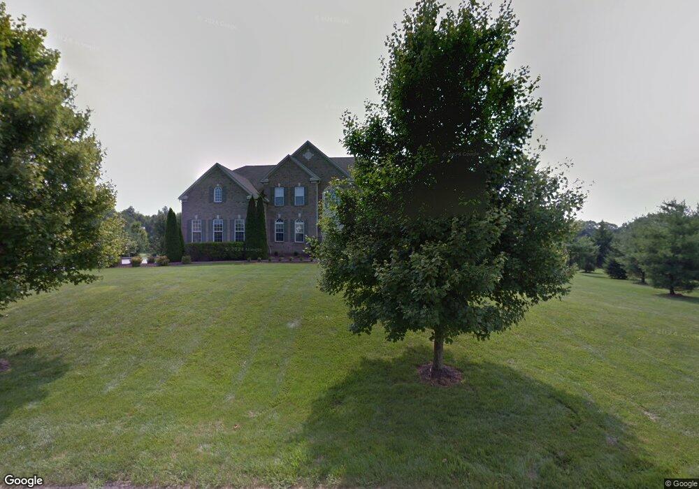
13 Olivia Rd Hightstown, NJ 08520
Estimated Value: $951,000 - $1,833,000
Studio
--
Bath
5,489
Sq Ft
$265/Sq Ft
Est. Value
About This Home
This home is located at 13 Olivia Rd, Hightstown, NJ 08520 and is currently estimated at $1,454,089, approximately $264 per square foot. 13 Olivia Rd is a home located in Mercer County with nearby schools including Sharon Elementary School, Pond Road Middle School, and Robbinsville High School.
Ownership History
Date
Name
Owned For
Owner Type
Purchase Details
Closed on
Jul 11, 2007
Sold by
Nvr and Ryan Homes
Bought by
Bunnell Keith and Bunnell Kara
Current Estimated Value
Home Financials for this Owner
Home Financials are based on the most recent Mortgage that was taken out on this home.
Interest Rate
6.63%
Purchase Details
Closed on
Jun 29, 2007
Home Financials for this Owner
Home Financials are based on the most recent Mortgage that was taken out on this home.
Interest Rate
6.63%
Purchase Details
Closed on
Feb 14, 2007
Sold by
Cjs Investments
Bought by
Nvr Inc
Create a Home Valuation Report for This Property
The Home Valuation Report is an in-depth analysis detailing your home's value as well as a comparison with similar homes in the area
Home Values in the Area
Average Home Value in this Area
Purchase History
| Date | Buyer | Sale Price | Title Company |
|---|---|---|---|
| Bunnell Keith | -- | -- | |
| -- | -- | -- | |
| Nvr Inc | $255,000 | -- |
Source: Public Records
Mortgage History
| Date | Status | Borrower | Loan Amount |
|---|---|---|---|
| Closed | -- | -- | |
| Closed | -- | -- |
Source: Public Records
Tax History
| Year | Tax Paid | Tax Assessment Tax Assessment Total Assessment is a certain percentage of the fair market value that is determined by local assessors to be the total taxable value of land and additions on the property. | Land | Improvement |
|---|---|---|---|---|
| 2025 | $26,308 | $787,200 | $225,000 | $562,200 |
| 2024 | $24,553 | $787,200 | $225,000 | $562,200 |
| 2023 | $24,553 | $787,200 | $225,000 | $562,200 |
| 2022 | $23,600 | $787,200 | $225,000 | $562,200 |
| 2021 | $23,262 | $787,200 | $225,000 | $562,200 |
| 2020 | $23,270 | $787,200 | $225,000 | $562,200 |
| 2019 | $23,278 | $787,200 | $225,000 | $562,200 |
| 2018 | $23,128 | $787,200 | $225,000 | $562,200 |
| 2017 | $23,081 | $787,200 | $225,000 | $562,200 |
| 2016 | $20,190 | $695,000 | $225,000 | $470,000 |
| 2015 | $19,884 | $695,000 | $225,000 | $470,000 |
| 2014 | $19,953 | $695,000 | $225,000 | $470,000 |
Source: Public Records
Map
Nearby Homes
- 325 Sharon Rd
- 21 Pemberton Ln
- 1400 Old York Rd
- 2 Carriage Ct
- 150 Windsor Rd
- 163 Sharon Station Rd
- 40 Rembrandt Way
- 38 Herbert Rd
- 7 Rembrandt Way
- 1305 1325 Route 130
- 23 N Main St
- 327 Gordon Rd
- 467 Gordon Rd
- 28 Columbia Ave
- 332 Gordon Rd
- 21 Mary Ln
- 45 Bennet Field Way
- 51 Bennet Field Way
- 32 Bennet Field Way
- 49 Bennet Field Way
Your Personal Tour Guide
Ask me questions while you tour the home.