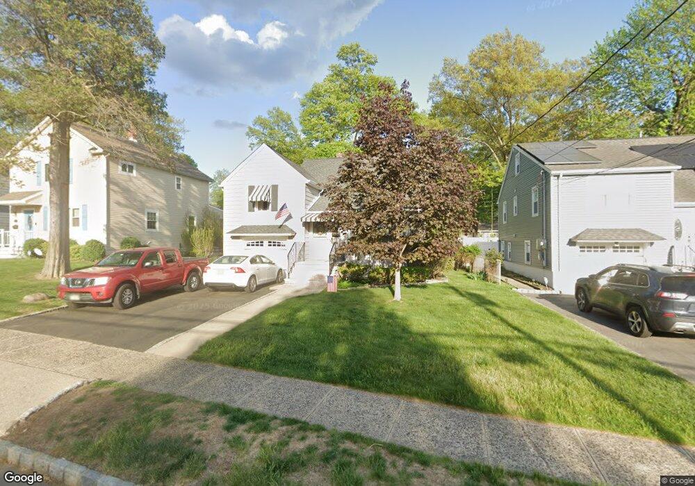
13 Otsego Rd Verona, NJ 07044
Estimated Value: $627,000 - $759,366
--
Bed
--
Bath
1,719
Sq Ft
$413/Sq Ft
Est. Value
About This Home
This home is located at 13 Otsego Rd, Verona, NJ 07044 and is currently estimated at $710,592, approximately $413 per square foot. 13 Otsego Rd is a home located in Essex County with nearby schools including Laning Avenue School, Henry B. Whitehorne Middle School, and Verona High School.
Ownership History
Date
Name
Owned For
Owner Type
Purchase Details
Closed on
Jun 10, 2008
Sold by
Symons Robert D and Symons Donna
Bought by
Cox Karen
Current Estimated Value
Home Financials for this Owner
Home Financials are based on the most recent Mortgage that was taken out on this home.
Original Mortgage
$190,000
Outstanding Balance
$121,673
Interest Rate
6.01%
Mortgage Type
Purchase Money Mortgage
Estimated Equity
$588,919
Purchase Details
Closed on
Apr 25, 2001
Sold by
Renwick Donald
Bought by
Symons Robert D and Symons Donna
Create a Home Valuation Report for This Property
The Home Valuation Report is an in-depth analysis detailing your home's value as well as a comparison with similar homes in the area
Home Values in the Area
Average Home Value in this Area
Purchase History
| Date | Buyer | Sale Price | Title Company |
|---|---|---|---|
| Cox Karen | $340,000 | Chicago Title Insurance Co | |
| Symons Robert D | $250,000 | -- | |
| Symons Robert D | $250,000 | -- |
Source: Public Records
Mortgage History
| Date | Status | Borrower | Loan Amount |
|---|---|---|---|
| Open | Cox Karen | $190,000 |
Source: Public Records
Tax History Compared to Growth
Tax History
| Year | Tax Paid | Tax Assessment Tax Assessment Total Assessment is a certain percentage of the fair market value that is determined by local assessors to be the total taxable value of land and additions on the property. | Land | Improvement |
|---|---|---|---|---|
| 2025 | $12,664 | $413,600 | $217,500 | $196,100 |
| 2024 | $12,664 | $413,600 | $217,500 | $196,100 |
| 2022 | $12,379 | $413,600 | $217,500 | $196,100 |
| 2021 | $12,230 | $413,600 | $217,500 | $196,100 |
| 2020 | $11,846 | $413,600 | $217,500 | $196,100 |
| 2019 | $11,457 | $413,600 | $217,500 | $196,100 |
| 2018 | $10,605 | $335,700 | $179,000 | $156,700 |
| 2017 | $10,450 | $335,700 | $179,000 | $156,700 |
| 2016 | $10,282 | $335,700 | $179,000 | $156,700 |
Source: Public Records
Map
Nearby Homes
- 2 Otsego Rd
- 18 Wedgewood Dr Unit 28
- 349 Bloomfield Ave Unit 18
- 349 Bloomfield Ave Unit Building 4, 18
- 349 Bloomfield Ave Unit 118
- 300 Claremont Ave Unit 2
- 45 Wedgewood Dr Unit 128
- 96 Claremont Ave
- 31 Martin Rd
- 16 Verona Place
- 142 Pompton Ave
- 31 Westover Rd
- 12 Linden Ave
- 23 Mount Vernon Square
- 71 Westland Rd
- 10 Randolph Place
- 176 Woodland Ave
- 45 E Reid Place
- 10 Crestmont Rd Unit 5K
- 415 Claremont Ave Unit 2D