13 Pear Tree Ln Prudence Island, RI 02872
Prudence Island NeighborhoodEstimated Value: $419,604 - $563,000
3
Beds
1
Bath
1,276
Sq Ft
$405/Sq Ft
Est. Value
About This Home
This home is located at 13 Pear Tree Ln, Prudence Island, RI 02872 and is currently estimated at $516,151, approximately $404 per square foot. 13 Pear Tree Ln is a home located in Newport County with nearby schools including Portsmouth High School.
Ownership History
Date
Name
Owned For
Owner Type
Purchase Details
Closed on
Apr 15, 2014
Sold by
William J Bains T
Bought by
William J Bains T
Current Estimated Value
Purchase Details
Closed on
Oct 16, 2013
Sold by
Bains William J
Bought by
William J Bains T
Create a Home Valuation Report for This Property
The Home Valuation Report is an in-depth analysis detailing your home's value as well as a comparison with similar homes in the area
Home Values in the Area
Average Home Value in this Area
Purchase History
| Date | Buyer | Sale Price | Title Company |
|---|---|---|---|
| William J Bains T | -- | -- | |
| William J Bains T | -- | -- | |
| William J Bains T J | -- | -- | |
| William J Bains T J | -- | -- |
Source: Public Records
Mortgage History
| Date | Status | Borrower | Loan Amount |
|---|---|---|---|
| Previous Owner | William J Bains T J | $150,000 | |
| Previous Owner | William J Bains T J | $130,000 | |
| Previous Owner | William J Bains T J | $75,000 |
Source: Public Records
Tax History
| Year | Tax Paid | Tax Assessment Tax Assessment Total Assessment is a certain percentage of the fair market value that is determined by local assessors to be the total taxable value of land and additions on the property. | Land | Improvement |
|---|---|---|---|---|
| 2025 | $3,401 | $256,100 | $112,300 | $143,800 |
| 2024 | $3,375 | $256,100 | $112,300 | $143,800 |
| 2023 | $3,273 | $256,100 | $112,300 | $143,800 |
| 2022 | $2,958 | $190,100 | $87,400 | $102,700 |
| 2021 | $2,910 | $190,100 | $87,400 | $102,700 |
| 2020 | $2,865 | $190,100 | $87,400 | $102,700 |
| 2019 | $3,270 | $199,400 | $95,300 | $104,100 |
| 2018 | $3,184 | $199,400 | $95,300 | $104,100 |
| 2017 | $3,075 | $199,400 | $95,300 | $104,100 |
| 2016 | $2,920 | $182,500 | $95,300 | $87,200 |
| 2015 | $2,884 | $182,500 | $95,300 | $87,200 |
| 2014 | $2,884 | $182,500 | $95,300 | $87,200 |
Source: Public Records
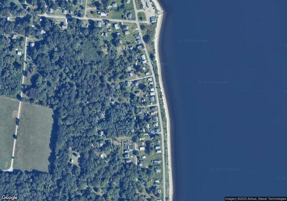
Map
Nearby Homes
- 0176 Daniel Ave
- 0 Governor Paine Rd
- 33 Alden Ave
- 231 Carnegie Harbor Dr
- 1 Tower Dr Unit 302
- 1 Tower Dr Unit 1106
- 1 Tower Dr Unit 406
- 1 Tower Dr Unit 1806
- 1 Tower Dr Unit 101
- 59 Carnegie Harbor Dr
- 4 Lookout Ln
- 8 Lookout Ln
- 12 Lookout Ln
- 0 Willow Ln Unit Leeward A
- 0 Willow Ln Unit Leeward B
- 95 Devin Dr
- 125 Corys Ln
- 0 Brownell Ln
- 45 Corys Ct
- 44 Wimbledon Cir
- 026 Brown Ln
- 36 Brown Ln
- 0 Pear Tree Ln
- 760 Narragansett Ave
- 17 Pear Tree Ln
- 764 Narragansett Ave
- 27 Pear Tree Ln
- 768 Narragansett Ave
- 016 Brown Ln
- 0 Narragansett Ave
- 736 Narragansett Ave
- 774 Narragansett Ave
- 16 Brown Ln
- 778 Narragansett Ave
- 26 Brown Ln
- 732 Narragansett Ave
- 784 Narragansett Ave
- 15 Brown Ln
- 726 Narragansett Ave
- 17 Allen Ln
Your Personal Tour Guide
Ask me questions while you tour the home.