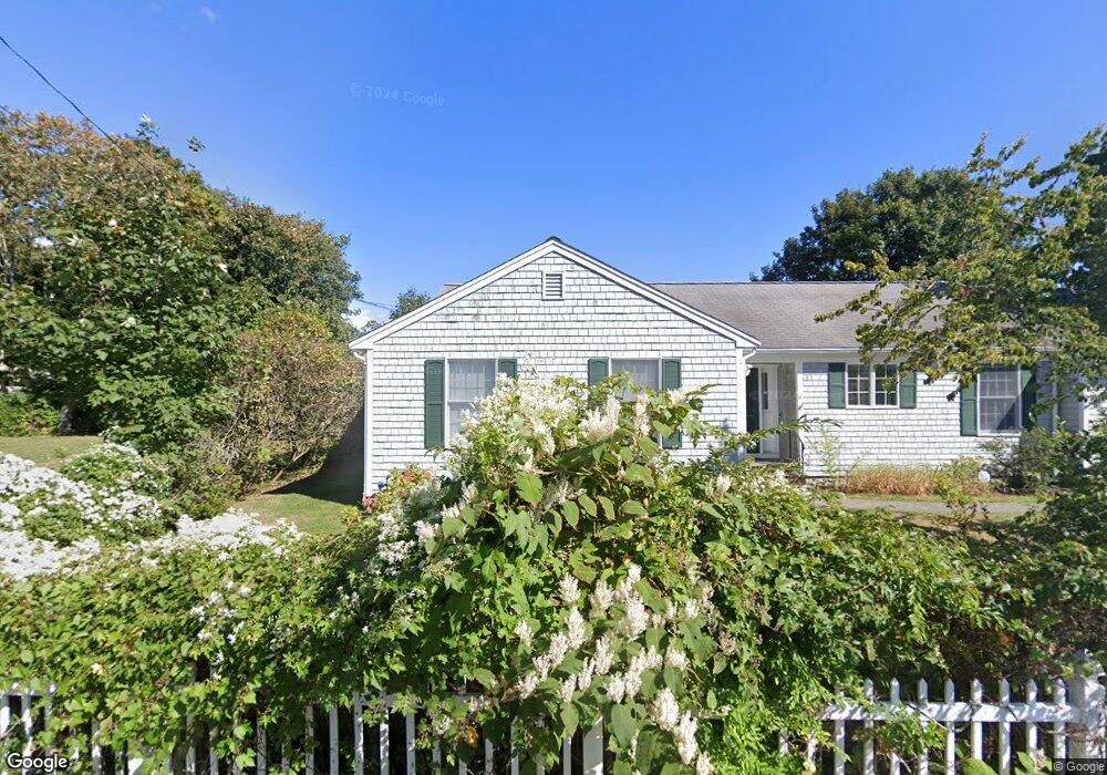
13 Pelican Ln Falmouth, MA 02540
Falmouth Village NeighborhoodEstimated Value: $927,554 - $1,102,000
3
Beds
3
Baths
1,512
Sq Ft
$686/Sq Ft
Est. Value
About This Home
This home is located at 13 Pelican Ln, Falmouth, MA 02540 and is currently estimated at $1,037,639, approximately $686 per square foot. 13 Pelican Ln is a home located in Barnstable County with nearby schools including Mullen-Hall School, Lawrence School, and Morse Pond School.
Ownership History
Date
Name
Owned For
Owner Type
Purchase Details
Closed on
Jan 12, 2012
Sold by
Mchugh Bernard K
Bought by
Mchugh Rt
Current Estimated Value
Purchase Details
Closed on
Dec 14, 2006
Sold by
Mchugh Bernard
Bought by
Guecia Aline and Guecia Philip S
Purchase Details
Closed on
Jan 27, 2006
Sold by
Kenneally Kathleen C and Twomey Kathleen C
Bought by
Mchugh Bernard K
Create a Home Valuation Report for This Property
The Home Valuation Report is an in-depth analysis detailing your home's value as well as a comparison with similar homes in the area
Home Values in the Area
Average Home Value in this Area
Purchase History
| Date | Buyer | Sale Price | Title Company |
|---|---|---|---|
| Mchugh Rt | -- | -- | |
| Guecia Aline | -- | -- | |
| Mchugh Bernard K | $220,000 | -- |
Source: Public Records
Mortgage History
| Date | Status | Borrower | Loan Amount |
|---|---|---|---|
| Previous Owner | Mchugh Rt | $120,000 | |
| Previous Owner | Mchugh Rt | $100,000 |
Source: Public Records
Tax History Compared to Growth
Tax History
| Year | Tax Paid | Tax Assessment Tax Assessment Total Assessment is a certain percentage of the fair market value that is determined by local assessors to be the total taxable value of land and additions on the property. | Land | Improvement |
|---|---|---|---|---|
| 2025 | $4,056 | $691,000 | $276,600 | $414,400 |
| 2024 | $3,934 | $626,400 | $251,400 | $375,000 |
| 2023 | $3,962 | $572,500 | $251,400 | $321,100 |
| 2022 | $3,839 | $476,900 | $229,300 | $247,600 |
| 2021 | $3,586 | $421,900 | $219,300 | $202,600 |
| 2020 | $3,453 | $402,000 | $199,400 | $202,600 |
| 2019 | $3,396 | $396,700 | $199,400 | $197,300 |
| 2018 | $3,335 | $387,800 | $199,400 | $188,400 |
| 2017 | $3,247 | $380,600 | $199,400 | $181,200 |
| 2016 | $3,186 | $380,600 | $199,400 | $181,200 |
| 2015 | $3,117 | $380,600 | $199,400 | $181,200 |
| 2014 | $3,085 | $378,500 | $199,400 | $179,100 |
Source: Public Records
Map
Nearby Homes
- 480 Main St Unit 1
- 65 Walker St
- 253 Scranton Ave
- 98 Main St
- 98 Main St Unit 1
- 110 Dillingham Ave Unit 322
- 110 Dillingham Ave Unit 224
- 71 Main St
- 30 Katherine Lee Bates Rd
- 33 Oakwood Ave
- 55 Jericho Path
- 9 Fairmount Ave Unit 1
- 9 Fairmount Ave
- 22 Alma Rd
- 15 Hedge Ln
- 286 Grand Ave Unit 6
- 286 Grand Ave Unit 8
- 286 Grand Ave Unit 4
- 354 Gifford St Unit 5
- 354 Gifford St Unit 2