13 Point Pleasant Rd Unit B Hopatcong, NJ 07843
Estimated Value: $1,118,000 - $1,496,984
1
Bed
1
Bath
660
Sq Ft
$1,964/Sq Ft
Est. Value
About This Home
This home is located at 13 Point Pleasant Rd Unit B, Hopatcong, NJ 07843 and is currently estimated at $1,295,996, approximately $1,963 per square foot. 13 Point Pleasant Rd Unit B is a home located in Sussex County with nearby schools including Durban Avenue Elementary School, Hudson Maxim Elementary School, and Tulsa Trail Elementary School.
Ownership History
Date
Name
Owned For
Owner Type
Purchase Details
Closed on
Jul 9, 2021
Sold by
Impink Lilliam Agnes and Impink Gregory
Bought by
Somjen Gregory J and Somjen Amber E
Current Estimated Value
Home Financials for this Owner
Home Financials are based on the most recent Mortgage that was taken out on this home.
Original Mortgage
$500,000
Interest Rate
2.7%
Mortgage Type
New Conventional
Create a Home Valuation Report for This Property
The Home Valuation Report is an in-depth analysis detailing your home's value as well as a comparison with similar homes in the area
Home Values in the Area
Average Home Value in this Area
Purchase History
| Date | Buyer | Sale Price | Title Company |
|---|---|---|---|
| Somjen Gregory J | $815,000 | Westcor Land Title Ins Co |
Source: Public Records
Mortgage History
| Date | Status | Borrower | Loan Amount |
|---|---|---|---|
| Previous Owner | Somjen Gregory J | $500,000 |
Source: Public Records
Tax History Compared to Growth
Tax History
| Year | Tax Paid | Tax Assessment Tax Assessment Total Assessment is a certain percentage of the fair market value that is determined by local assessors to be the total taxable value of land and additions on the property. | Land | Improvement |
|---|---|---|---|---|
| 2025 | $32,288 | $1,548,600 | $511,100 | $1,037,500 |
| 2024 | $23,174 | $1,548,600 | $511,100 | $1,037,500 |
| 2023 | $23,174 | $662,300 | $346,200 | $316,100 |
| 2022 | $22,717 | $662,300 | $346,200 | $316,100 |
| 2021 | $22,333 | $662,300 | $346,200 | $316,100 |
| 2020 | $22,101 | $662,300 | $346,200 | $316,100 |
| 2019 | $22,008 | $662,300 | $346,200 | $316,100 |
| 2018 | $21,962 | $662,300 | $346,200 | $316,100 |
| 2017 | $21,929 | $662,300 | $346,200 | $316,100 |
| 2016 | $21,725 | $662,300 | $346,200 | $316,100 |
| 2015 | $21,228 | $662,300 | $346,200 | $316,100 |
| 2014 | $21,156 | $662,300 | $346,200 | $316,100 |
Source: Public Records
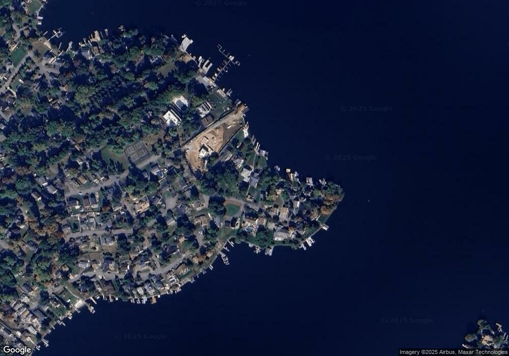
Map
Nearby Homes
- 22 Innis Ave
- 15 Auriemma Ct
- 8 Brooklyn Mountain Rd
- 41 Catamaran Ct
- 135 Marla Rd
- 627 E Vail Rd
- 2 Teri Ln
- 203 Lakeside Blvd
- 547 Atlas Rd
- 24 Bertrand Island Rd
- 12 Lakeside Blvd
- 592 Dell Rd
- 505 Logan Dr
- 206 Brooklyn Mountain Rd
- 104 Chincopee Ave
- 11 Idalroy Trail
- 214 Durban Ave
- 109 Durban Ave
- 537 Dell Rd
- 305 Kingsland Rd
- 13 Point Pleasant Rd
- 15 Point Pleasant Rd
- 11 Point Pleasant Rd
- 11A Point Pleasant Rd
- 19 Point Pleasant Rd
- 7 Point Pleasant Rd
- 21 Point Pleasant Rd
- 5 Point Pleasant Rd
- 3 Point Pleasant Rd
- 3 Point Pleasant Rd
- 10 Point Pleasant Rd
- 10 Point Pleasant Rd Unit 1
- 8 Point Pleasant Rd
- 1 C Point Pleasant Rd
- 1C Point Pleasant Rd
- 2 Point Pleasant Rd
- 27 Point Pleasant Rd
- 20 Point Pleasant Rd
- 24 Point Pleasant Rd
- 26 Point Pleasant Rd