13 Pointe Rok Dr Worcester, MA 01604
Broadmeadow Brook NeighborhoodEstimated Value: $254,586 - $361,000
2
Beds
2
Baths
919
Sq Ft
$322/Sq Ft
Est. Value
About This Home
This home is located at 13 Pointe Rok Dr, Worcester, MA 01604 and is currently estimated at $295,647, approximately $321 per square foot. 13 Pointe Rok Dr is a home located in Worcester County with nearby schools including Roosevelt Elementary School, Jacob Hiatt Magnet School, and Chandler Magnet.
Ownership History
Date
Name
Owned For
Owner Type
Purchase Details
Closed on
Dec 2, 2003
Sold by
13 Pointe Rok Dr Rt and Dorenkamp Erica A
Bought by
Hinds Michael L
Current Estimated Value
Home Financials for this Owner
Home Financials are based on the most recent Mortgage that was taken out on this home.
Original Mortgage
$100,000
Outstanding Balance
$47,017
Interest Rate
6.09%
Mortgage Type
Purchase Money Mortgage
Estimated Equity
$248,630
Purchase Details
Closed on
Sep 1, 1989
Sold by
Daloia Paul
Bought by
Dorenkamp Angela
Purchase Details
Closed on
Jul 2, 1987
Sold by
Pointe Rok Rlty Tr
Bought by
Daloia Paul R
Home Financials for this Owner
Home Financials are based on the most recent Mortgage that was taken out on this home.
Original Mortgage
$124,000
Interest Rate
10.76%
Mortgage Type
Purchase Money Mortgage
Create a Home Valuation Report for This Property
The Home Valuation Report is an in-depth analysis detailing your home's value as well as a comparison with similar homes in the area
Home Values in the Area
Average Home Value in this Area
Purchase History
| Date | Buyer | Sale Price | Title Company |
|---|---|---|---|
| Hinds Michael L | $205,000 | -- | |
| Dorenkamp Angela | $125,000 | -- | |
| Daloia Paul R | $155,000 | -- |
Source: Public Records
Mortgage History
| Date | Status | Borrower | Loan Amount |
|---|---|---|---|
| Open | Hinds Michael L | $100,000 | |
| Previous Owner | Daloia Paul R | $124,000 |
Source: Public Records
Tax History
| Year | Tax Paid | Tax Assessment Tax Assessment Total Assessment is a certain percentage of the fair market value that is determined by local assessors to be the total taxable value of land and additions on the property. | Land | Improvement |
|---|---|---|---|---|
| 2025 | $3,096 | $234,700 | $0 | $234,700 |
| 2024 | $3,112 | $226,300 | $0 | $226,300 |
| 2023 | $2,971 | $207,200 | $0 | $207,200 |
| 2022 | $2,640 | $173,600 | $0 | $173,600 |
| 2021 | $2,955 | $181,500 | $0 | $181,500 |
| 2020 | $2,958 | $174,000 | $0 | $174,000 |
| 2019 | $3,359 | $186,600 | $0 | $186,600 |
| 2018 | $3,105 | $164,200 | $0 | $164,200 |
| 2017 | $3,108 | $161,700 | $0 | $161,700 |
| 2016 | $3,469 | $168,300 | $0 | $168,300 |
| 2015 | $3,378 | $168,300 | $0 | $168,300 |
| 2014 | $3,568 | $182,600 | $0 | $182,600 |
Source: Public Records
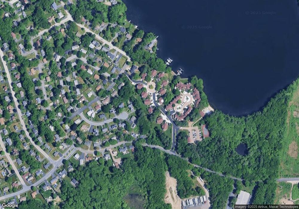
Map
Nearby Homes
- 47 Ideal Rd
- 15 Lakeside Dr
- 11 Maplewood Rd
- 33 Lakeside Dr
- 1459 Grafton Rd
- 62 Edgemere Blvd
- 1 Canton Ct Unit 35
- 7 Clarissa St
- 1195 Grafton St Unit 39
- 23 Canna Dr
- 194 Worcester St
- 182 Weatherstone Dr
- 12 Irene Ct
- 1 Purinton St
- 51 John Dr Unit 51
- 270 Sunderland Rd Unit 73
- 76 Grove St
- 2 Diane St
- 31 Blithewood Ave Unit 705
- 167 Worcester St
- 32 Pointe Rok Dr
- 30 Pointe Rok Dr
- 28 Pointe Rok Dr
- 24 Pointe Rok Dr
- 20 Pointe Rok Dr
- 16 Pointe Rok Dr
- 15 Pointe Rok Dr
- 14 Pointe Rok Dr
- 12 Pointe Rok Dr
- 9 Pointe Rok Dr
- 8 Pointe Rok Dr
- 4 Pointe Rok Dr
- 1 Pointe Rok Dr
- 32 Pointe Rok Dr Unit 32
- 16 Pointe Rok Dr Unit 16
- 28 Pointe Rok Dr Unit 28
- 37 Pointe Rok Dr
- 80 Pointe Rok Dr
- 79 Pointe Rok Dr
- 78 Pointe Rok Dr