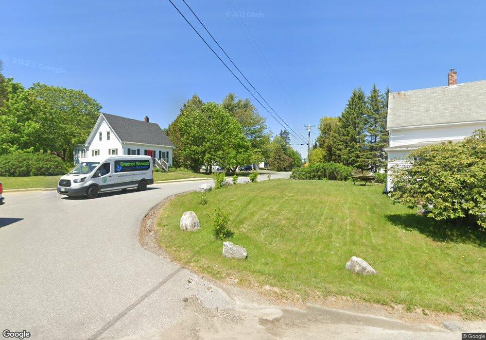
13 Rein Rd Tenants Harbor, ME 04860
Estimated Value: $593,000
--
Bed
--
Bath
2,500
Sq Ft
$237/Sq Ft
Est. Value
About This Home
This home is located at 13 Rein Rd, Tenants Harbor, ME 04860 and is currently estimated at $593,000, approximately $237 per square foot. 13 Rein Rd is a home with nearby schools including Oceanside High School East.
Ownership History
Date
Name
Owned For
Owner Type
Purchase Details
Closed on
Feb 4, 2015
Sold by
Maccaffray Andrew D
Bought by
13 Rein Road Llc
Current Estimated Value
Home Financials for this Owner
Home Financials are based on the most recent Mortgage that was taken out on this home.
Original Mortgage
$300,000
Interest Rate
3.84%
Mortgage Type
New Conventional
Create a Home Valuation Report for This Property
The Home Valuation Report is an in-depth analysis detailing your home's value as well as a comparison with similar homes in the area
Home Values in the Area
Average Home Value in this Area
Purchase History
| Date | Buyer | Sale Price | Title Company |
|---|---|---|---|
| 13 Rein Road Llc | -- | -- | |
| 13 Rein Road Llc | -- | -- |
Source: Public Records
Mortgage History
| Date | Status | Borrower | Loan Amount |
|---|---|---|---|
| Closed | 13 Rein Road Llc | $300,000 |
Source: Public Records
Tax History Compared to Growth
Tax History
| Year | Tax Paid | Tax Assessment Tax Assessment Total Assessment is a certain percentage of the fair market value that is determined by local assessors to be the total taxable value of land and additions on the property. | Land | Improvement |
|---|---|---|---|---|
| 2025 | $6,575 | $511,700 | $67,200 | $444,500 |
| 2024 | $6,064 | $511,700 | $67,200 | $444,500 |
| 2023 | $5,680 | $511,700 | $67,200 | $444,500 |
| 2022 | $5,168 | $511,700 | $67,200 | $444,500 |
| 2021 | $5,015 | $511,700 | $67,200 | $444,500 |
| 2020 | $4,912 | $511,700 | $67,200 | $444,500 |
| 2019 | $4,912 | $511,700 | $67,200 | $444,500 |
| 2018 | $3,719 | $415,500 | $67,200 | $348,300 |
| 2017 | $3,615 | $415,500 | $67,200 | $348,300 |
| 2016 | $3,457 | $411,600 | $67,200 | $344,400 |
| 2015 | $3,375 | $411,600 | $67,200 | $344,400 |
| 2014 | $3,141 | $392,600 | $67,200 | $325,400 |
| 2013 | $2,485 | $322,700 | $67,200 | $255,500 |
Source: Public Records
Map
Nearby Homes
- 133 Scraggle Point Rd
- 00 Cline Rd
- 957 River Rd
- 23 Spring Ln
- 33 Rocking Horse Ln
- 169 Island Ave
- 774 Spruce Head Rd
- 85 Patten Point Rd
- 22 Sawblade Rd
- Lot 1 Birch Point Ln Unit 1
- M5L13-3 Spruce Head Rd
- M5L13-3 Lot Unit WP001
- 76 Donahue Dr
- 502 River Rd
- 5 Little Dog Path
- 16 Swan Ln
- 17 Spring St
- 8 Powder House Cove Rd
- 52 Ledge Rd
- 422 Wallston Rd
- 0 Rein Rd Unit 479837
- 0 Rein Rd Unit 983165
- 0 Rein Rd Unit 1412195
- 250 Seal Harbor Rd
- 260 Seal Harbor Rd
- 283 Seal Harbor Rd
- 250 A Seal Harbor Rd
- 232 Seal Harbor Rd
- 223 Seal Harbor Rd
- 226 Seal Harbor Rd
- 282 Seal Harbor Rd
- 26 Rein Rd
- 51 Mill Creek Rd
- 217 Seal Harbor Rd
- TBD Seal Harbor Rd
- 294 Seal Harbor Rd
- 213 Seal Harbor Rd
- 46 Mill Creek Rd
- 46 Mill Creek Rd
- 214 Seal Harbor Rd