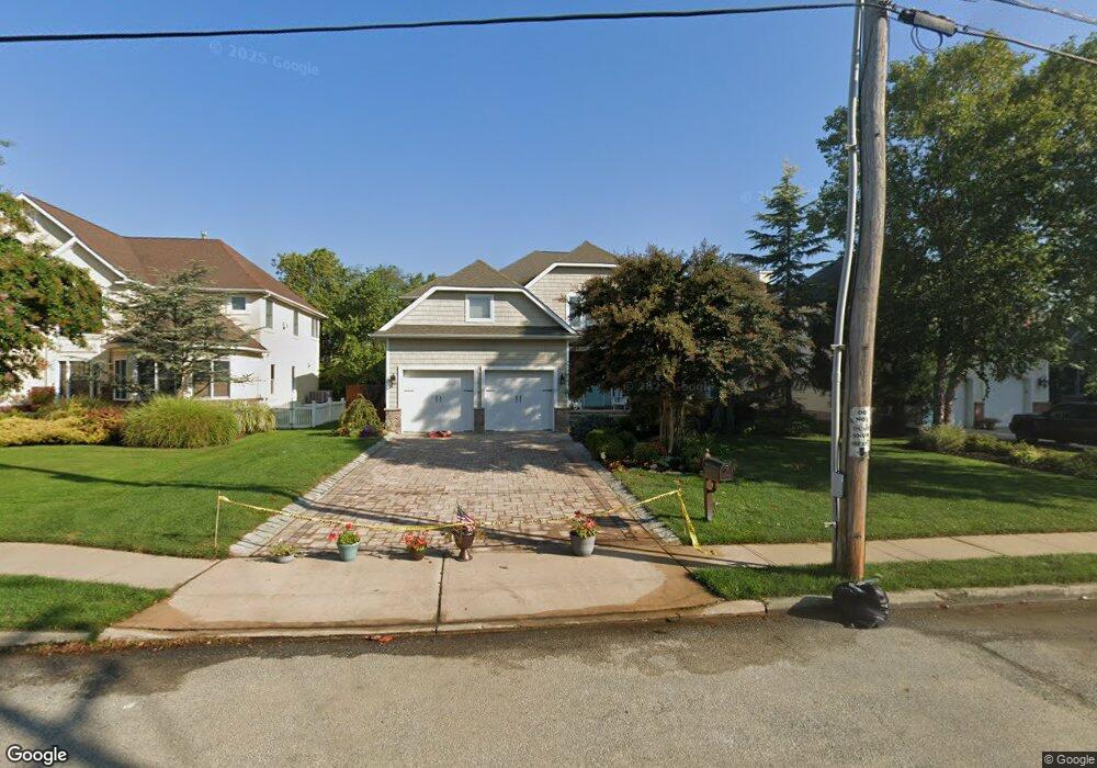
13 Rivergate Way Long Branch, NJ 07740
Estimated Value: $1,578,000 - $1,948,000
5
Beds
3
Baths
4,372
Sq Ft
$407/Sq Ft
Est. Value
About This Home
This home is located at 13 Rivergate Way, Long Branch, NJ 07740 and is currently estimated at $1,779,743, approximately $407 per square foot. 13 Rivergate Way is a home with nearby schools including Long Branch High School.
Ownership History
Date
Name
Owned For
Owner Type
Purchase Details
Closed on
Aug 20, 2020
Sold by
Careri Theresa and Careri Frank
Bought by
Careri Jill C and Careri Christopher F
Current Estimated Value
Purchase Details
Closed on
Jun 29, 2010
Sold by
Rivergate Long Branch Corp
Bought by
Careri Frank and Careri Theresa
Home Financials for this Owner
Home Financials are based on the most recent Mortgage that was taken out on this home.
Original Mortgage
$140,000
Interest Rate
5%
Mortgage Type
Seller Take Back
Create a Home Valuation Report for This Property
The Home Valuation Report is an in-depth analysis detailing your home's value as well as a comparison with similar homes in the area
Home Values in the Area
Average Home Value in this Area
Purchase History
| Date | Buyer | Sale Price | Title Company |
|---|---|---|---|
| Careri Jill C | -- | None Available | |
| Careri Family Trust | -- | None Listed On Document | |
| Careri Frank | $690,000 | First American Title Ins Co |
Source: Public Records
Mortgage History
| Date | Status | Borrower | Loan Amount |
|---|---|---|---|
| Previous Owner | Careri Frank | $140,000 |
Source: Public Records
Tax History Compared to Growth
Tax History
| Year | Tax Paid | Tax Assessment Tax Assessment Total Assessment is a certain percentage of the fair market value that is determined by local assessors to be the total taxable value of land and additions on the property. | Land | Improvement |
|---|---|---|---|---|
| 2025 | $20,368 | $1,456,400 | $500,000 | $956,400 |
| 2024 | $19,381 | $1,325,200 | $400,000 | $925,200 |
| 2023 | $19,381 | $1,248,000 | $355,000 | $893,000 |
| 2022 | $19,154 | $1,033,200 | $237,800 | $795,400 |
| 2021 | $19,154 | $969,700 | $217,800 | $751,900 |
| 2020 | $19,970 | $955,500 | $199,800 | $755,700 |
| 2019 | $19,149 | $911,000 | $182,800 | $728,200 |
| 2018 | $18,641 | $881,800 | $172,800 | $709,000 |
| 2017 | $17,688 | $858,200 | $167,800 | $690,400 |
| 2016 | $17,126 | $847,400 | $167,800 | $679,600 |
| 2015 | $15,860 | $723,400 | $114,000 | $609,400 |
| 2014 | $14,709 | $696,100 | $155,300 | $540,800 |
Source: Public Records
Map
Nearby Homes
- 580 Patten Ave Unit 47
- 580 Patten Ave Unit 48
- 580 Patten Ave Unit 62
- 580 Patten Ave Unit 86
- 580 Patten Ave Unit 31
- 16 Shore Dr
- 165 Kingsley St
- 177 Kingsley St
- 28 Patten Ln
- 8 Pocahontas Ave
- 8 Mann Ct
- 164 Airsdale Ave
- 392 Florence Ave
- 154 Atlantic Ave
- 27 Ithaca Ave
- 50 Valentine St Unit 27A
- 50 Valentine St Unit 22A
- 50 Valentine St Unit 12B
- 43 Valentine St
- 381 Long Branch Ave
- 11 Rivergate Way
- 15 Rivergate Way
- 17 Rivergate Way
- 10 Seawinds Way
- 7 Rivergate Way
- 8 Seawinds Way
- 6 Rivergate Way
- 4 Rivergate Way
- 6 Seawinds Way Unit 155
- 574 Patten Ave
- 19 Rivergate Way
- 4 Seawinds Way
- 2 Seawinds Way
- 44 Sunset Ave
- 2 Rivergate Way
- 49 Sunset Ave Unit 133
- 18 Sunset Ave Unit 158
- 51 Sunset Ave
- 5 Navesink Ct
- 51 Rivergate Way