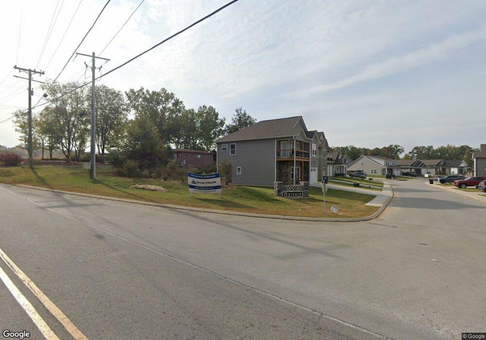
13 Rock Bridge Dr Unit 1 Ringgold, GA 30736
Graysville NeighborhoodEstimated Value: $327,000 - $329,000
--
Bed
2
Baths
1,601
Sq Ft
$205/Sq Ft
Est. Value
About This Home
This home is located at 13 Rock Bridge Dr Unit 1, Ringgold, GA 30736 and is currently estimated at $327,667, approximately $204 per square foot. 13 Rock Bridge Dr Unit 1 is a home located in Catoosa County with nearby schools including Graysville Elementary School, Ringgold Middle School, and Ringgold High School.
Ownership History
Date
Name
Owned For
Owner Type
Purchase Details
Closed on
Apr 26, 2021
Sold by
Rock Bridge Construction Llc
Bought by
Barker David Matthew
Current Estimated Value
Home Financials for this Owner
Home Financials are based on the most recent Mortgage that was taken out on this home.
Original Mortgage
$252,784
Outstanding Balance
$228,598
Interest Rate
3.1%
Mortgage Type
VA
Estimated Equity
$99,069
Purchase Details
Closed on
Apr 21, 2021
Sold by
Rock Bridge Construction Llc
Bought by
Davis Tomara Felisha
Home Financials for this Owner
Home Financials are based on the most recent Mortgage that was taken out on this home.
Original Mortgage
$252,784
Outstanding Balance
$228,598
Interest Rate
3.1%
Mortgage Type
VA
Estimated Equity
$99,069
Create a Home Valuation Report for This Property
The Home Valuation Report is an in-depth analysis detailing your home's value as well as a comparison with similar homes in the area
Home Values in the Area
Average Home Value in this Area
Purchase History
| Date | Buyer | Sale Price | Title Company |
|---|---|---|---|
| Barker David Matthew | $259,000 | -- | |
| Davis Tomara Felisha | $245,000 | -- |
Source: Public Records
Mortgage History
| Date | Status | Borrower | Loan Amount |
|---|---|---|---|
| Open | Barker David Matthew | $252,784 |
Source: Public Records
Tax History Compared to Growth
Tax History
| Year | Tax Paid | Tax Assessment Tax Assessment Total Assessment is a certain percentage of the fair market value that is determined by local assessors to be the total taxable value of land and additions on the property. | Land | Improvement |
|---|---|---|---|---|
| 2024 | $2,671 | $125,256 | $12,000 | $113,256 |
| 2023 | $2,424 | $108,258 | $12,000 | $96,258 |
| 2022 | $1,896 | $84,682 | $12,000 | $72,682 |
| 2021 | $251 | $12,000 | $12,000 | $0 |
| 2020 | $278 | $12,000 | $12,000 | $0 |
Source: Public Records
Map
Nearby Homes
- 44 Rock Bridge Dr
- 89 Rock Bridge Dr
- 65 Ables Way
- 159 Rock Bridge Dr
- 232 Georgetown Dr
- 104 Carrigan Cir
- 349 Carrigan Cir
- 901 Haggard Rd
- 411 Meadow Green Dr
- 140 Rock Bridge Dr
- 312 Creeks Jewell Dr
- 241 Meadow Green Dr
- The Greenbrier II Plan at Hillcrest Park
- The Braselton II Plan at Hillcrest Park
- The Buford II Plan at Hillcrest Park
- The Manchester II Plan at Hillcrest Park
- The McGinnis Plan at Hawks View
- The Coleman Plan at Hawks View
- The Lawson Plan at Hawks View
- The Harrington Plan at Hawks View
- 13 Rock Bridge Dr
- 1280 Wooten Rd
- 25 Rock Bridge Dr Unit Lot 2
- 33 Rock Bridge Dr
- 1300 Wooten Rd
- 10 Rock Bridge Dr
- 10 Rock Bridge Dr Unit 86
- 20 Rock Bridge Dr
- 20 Rock Bridge Dr Unit 85
- 11 Paxtons Way
- 32 Rock Bridge Dr
- 32 Rock Bridge Dr Unit 84
- 1320 Wooten Rd
- 0 Rock Bridge Rd Unit 1335683
- 44 Rock Bridge Dr Unit 83
- 25 Paxtons Way
- 25 Paxtons Way Unit 5
- 56 Rock Bridge Dr
- 77 Rock Bridge Dr Unit 26
- 77 Rock Bridge Dr