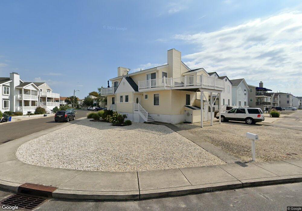
13 Safe Harbor Dr Unit 15 Ocean City, NJ 08226
Estimated Value: $871,000
--
Bed
--
Bath
1,204
Sq Ft
$723/Sq Ft
Est. Value
About This Home
This home is located at 13 Safe Harbor Dr Unit 15, Ocean City, NJ 08226 and is currently estimated at $871,000, approximately $723 per square foot. 13 Safe Harbor Dr Unit 15 is a home located in Cape May County with nearby schools including Ocean City Primary School, Ocean City Intermediate School, and Ocean City High School.
Ownership History
Date
Name
Owned For
Owner Type
Purchase Details
Closed on
Feb 28, 2017
Sold by
Thompson James W and Thompson Margaret M
Bought by
Donnelly Daniel J and Donnelly Mary C
Current Estimated Value
Purchase Details
Closed on
Apr 29, 2003
Sold by
Thompson James T
Bought by
Thompson James W and Connell Daniel J O
Create a Home Valuation Report for This Property
The Home Valuation Report is an in-depth analysis detailing your home's value as well as a comparison with similar homes in the area
Home Values in the Area
Average Home Value in this Area
Purchase History
| Date | Buyer | Sale Price | Title Company |
|---|---|---|---|
| Donnelly Daniel J | $370,000 | None Available | |
| Thompson James W | -- | -- |
Source: Public Records
Tax History Compared to Growth
Tax History
| Year | Tax Paid | Tax Assessment Tax Assessment Total Assessment is a certain percentage of the fair market value that is determined by local assessors to be the total taxable value of land and additions on the property. | Land | Improvement |
|---|---|---|---|---|
| 2025 | $3,800 | $338,700 | $186,100 | $152,600 |
| 2024 | $3,800 | $338,700 | $186,100 | $152,600 |
| 2023 | $3,627 | $338,700 | $186,100 | $152,600 |
| 2022 | $3,485 | $338,700 | $186,100 | $152,600 |
| 2021 | $3,404 | $338,700 | $186,100 | $152,600 |
| 2020 | $3,312 | $338,700 | $186,100 | $152,600 |
| 2019 | $3,275 | $338,700 | $186,100 | $152,600 |
| 2018 | $3,245 | $338,700 | $186,100 | $152,600 |
| 2017 | $2,955 | $313,400 | $186,100 | $127,300 |
| 2016 | $2,843 | $313,400 | $186,100 | $127,300 |
| 2015 | $2,805 | $313,400 | $186,100 | $127,300 |
| 2014 | $2,764 | $313,400 | $186,100 | $127,300 |
Source: Public Records
Map
Nearby Homes
- 216 Anchorage Dr
- 209 Bark Dr
- 5404 Bay Ave
- 5512 Asbury Ave
- 305 57th St Unit 305
- 400 E 55th St Unit D
- 400 E 55th St Unit E
- 400 E 55th St Unit F
- 13 53rd St
- 5315 West Ave
- 5242 West Ave Unit 2
- 5225 Asbury Ave Unit 1
- 5235 Central Ave
- 5132 Central Ave
- 4933 Central Ave Unit 4933
- 4919 Central Ave
- 4923 Central Ave Unit 2
- 4828 West Ave Unit first floor
- 4818-20 Asbury Ave
- 4818 Asbury Ave Unit 1
- 13 Safe Harbor Dr Unit 15
- 9 Safe Harbor Dr Unit 11
- 9 Safe Harbor Dr Unit 11
- 17 Safe Harbor Dr Unit 1st Floor
- 17 Safe Harbor Dr Unit 19
- 17 Safe Harbor Dr Unit 19
- 15 Safe Harbor Dr Unit 2
- 18 S Inlet Dr Unit 20
- 18 S Inlet Dr Unit 20
- 21 Safe Harbor Dr Unit 23
- 21 Safe Harbor Dr Unit 23
- 57 Safe Harbor Dr
- 57 Safe Harbor Dr
- 20 S Inlet Dr Unit 2
- 20 S Inlet Dr Unit 2nd
- 27 Safe Harbor Dr Unit B
- 23 Safe Harbor Dr Unit 2
- 14 S Inlet Dr
- 14 S Inlet Dr Unit 16
- 14 S Inlet Dr Unit 1