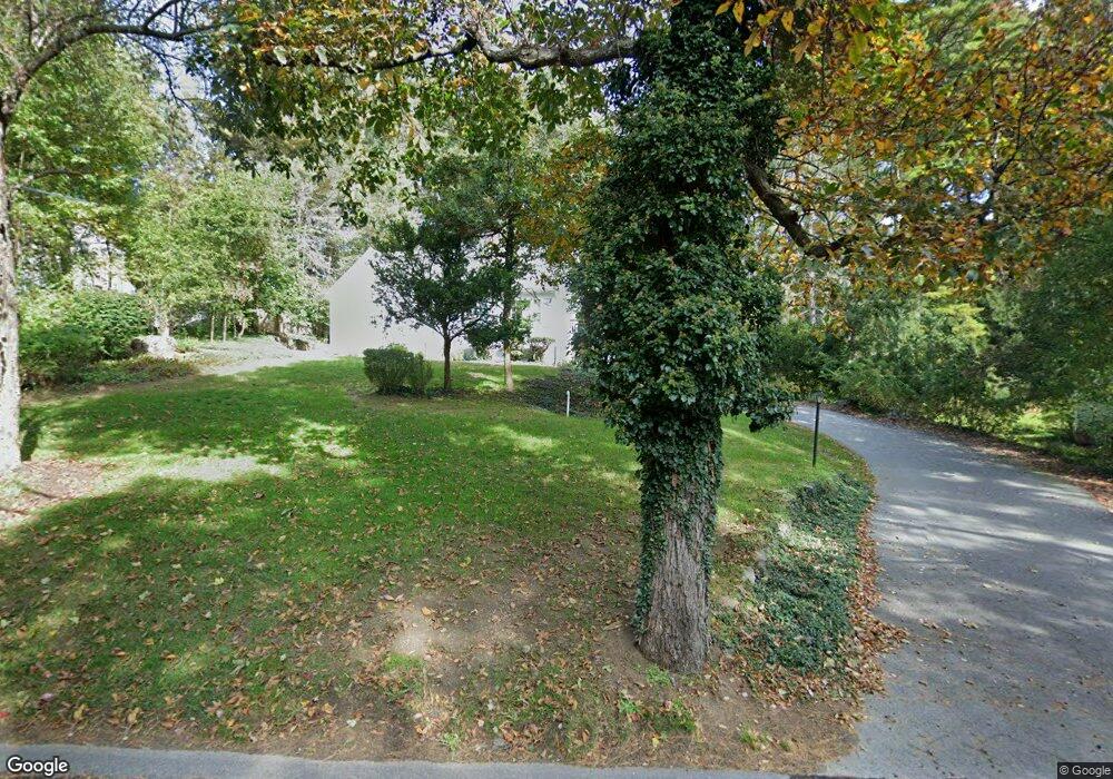
13 Sherman Bridge Rd Wayland, MA 01778
Estimated Value: $953,817 - $1,263,000
3
Beds
2
Baths
1,869
Sq Ft
$570/Sq Ft
Est. Value
About This Home
This home is located at 13 Sherman Bridge Rd, Wayland, MA 01778 and is currently estimated at $1,064,454, approximately $569 per square foot. 13 Sherman Bridge Rd is a home located in Middlesex County with nearby schools including Wayland High School, Willow Hill School, and Corwin-Russell School at Broccoli Hall.
Ownership History
Date
Name
Owned For
Owner Type
Purchase Details
Closed on
Sep 6, 2016
Sold by
Marotto John J and Smith Virginia L
Bought by
John J & V L Smith Ret
Current Estimated Value
Purchase Details
Closed on
Aug 28, 1990
Sold by
Siebert Pauline J
Bought by
Marotto John J
Home Financials for this Owner
Home Financials are based on the most recent Mortgage that was taken out on this home.
Original Mortgage
$125,000
Interest Rate
10.01%
Mortgage Type
Purchase Money Mortgage
Create a Home Valuation Report for This Property
The Home Valuation Report is an in-depth analysis detailing your home's value as well as a comparison with similar homes in the area
Home Values in the Area
Average Home Value in this Area
Purchase History
| Date | Buyer | Sale Price | Title Company |
|---|---|---|---|
| John J & V L Smith Ret | -- | -- | |
| John J & V L Smith Ret | -- | -- | |
| Marotto John J | $275,000 | -- |
Source: Public Records
Mortgage History
| Date | Status | Borrower | Loan Amount |
|---|---|---|---|
| Previous Owner | Marotto John J | $65,000 | |
| Previous Owner | Marotto John J | $125,000 |
Source: Public Records
Tax History Compared to Growth
Tax History
| Year | Tax Paid | Tax Assessment Tax Assessment Total Assessment is a certain percentage of the fair market value that is determined by local assessors to be the total taxable value of land and additions on the property. | Land | Improvement |
|---|---|---|---|---|
| 2025 | $12,126 | $775,800 | $461,300 | $314,500 |
| 2024 | $11,463 | $738,600 | $439,300 | $299,300 |
| 2023 | $11,127 | $668,300 | $399,300 | $269,000 |
| 2022 | $10,845 | $591,000 | $330,700 | $260,300 |
| 2021 | $11,001 | $560,900 | $300,600 | $260,300 |
| 2020 | $9,962 | $560,900 | $300,600 | $260,300 |
| 2019 | $9,544 | $522,100 | $286,300 | $235,800 |
| 2018 | $5,652 | $499,400 | $286,300 | $213,100 |
| 2017 | $8,751 | $482,400 | $272,600 | $209,800 |
| 2016 | $7,963 | $459,200 | $267,200 | $192,000 |
| 2015 | $8,235 | $447,800 | $267,200 | $180,600 |
Source: Public Records
Map
Nearby Homes
- 15 Lewis Path
- 12 Pine Ridge Rd
- 11 Grove St
- 134 Chestnut Cir
- 93 Old Sudbury Rd
- 224 Aspen Cir
- 244 Lincoln Rd
- 236 Lincoln Rd
- 25 Birchwood Ln
- 49 Birchwood Ln Unit 49
- 50 3 Ponds Rd
- 24 Claypit Hill Rd
- Lot 5 Sailaway Ln
- Lot 4 Sailaway Ln
- 2 Betts Way
- 8 Mina Way
- 0 Elm Unit 73282184
- Lot 9 Sailaway Ln
- 4 Betts Way
- 122 Sand Gully Rd N Unit B
- 11 Sherman Bridge Rd
- 15 Sherman Bridge Rd
- 9 Sherman Bridge Rd
- 14 Tally Ho Ln
- 17 Sherman Bridge Rd
- 7 Red Barn Rd
- 12 Tally Ho Ln
- 12 Sherman Bridge Rd
- 8 Tally Ho Ln
- 5 Sherman Bridge Rd
- 10 Sherman Bridge Rd
- 19 Sherman Bridge Rd
- 19 Sherman's Bridge Rd
- 18 Sherman Bridge Rd
- 3 Sherman Bridge Rd
- 8 Red Barn Rd
- 18 Sherman's Bridge Rd
- 6 Sherman Bridge Rd
- 13 Tally Ho Ln
- 1 Sherman Bridge Rd