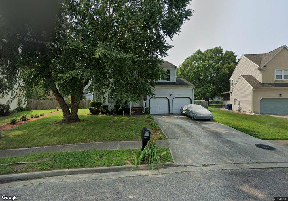
13 Shoal Ct Portsmouth, VA 23703
Churchland NeighborhoodEstimated Value: $413,000 - $440,000
4
Beds
3
Baths
2,588
Sq Ft
$163/Sq Ft
Est. Value
About This Home
This home is located at 13 Shoal Ct, Portsmouth, VA 23703 and is currently estimated at $421,862, approximately $163 per square foot. 13 Shoal Ct is a home located in Portsmouth City with nearby schools including Churchland Primary/Intermediate School, Churchland Middle School, and Churchland High School.
Ownership History
Date
Name
Owned For
Owner Type
Purchase Details
Closed on
Jan 10, 2001
Sold by
Smith William C
Bought by
Deberry Paul L
Current Estimated Value
Home Financials for this Owner
Home Financials are based on the most recent Mortgage that was taken out on this home.
Original Mortgage
$147,091
Outstanding Balance
$53,970
Interest Rate
7.64%
Estimated Equity
$367,892
Create a Home Valuation Report for This Property
The Home Valuation Report is an in-depth analysis detailing your home's value as well as a comparison with similar homes in the area
Home Values in the Area
Average Home Value in this Area
Purchase History
| Date | Buyer | Sale Price | Title Company |
|---|---|---|---|
| Deberry Paul L | $149,500 | -- |
Source: Public Records
Mortgage History
| Date | Status | Borrower | Loan Amount |
|---|---|---|---|
| Open | Deberry Paul L | $147,091 |
Source: Public Records
Tax History Compared to Growth
Tax History
| Year | Tax Paid | Tax Assessment Tax Assessment Total Assessment is a certain percentage of the fair market value that is determined by local assessors to be the total taxable value of land and additions on the property. | Land | Improvement |
|---|---|---|---|---|
| 2025 | $4,580 | $380,490 | $91,610 | $288,880 |
| 2024 | $4,580 | $358,440 | $91,610 | $266,830 |
| 2023 | $4,095 | $327,570 | $91,610 | $235,960 |
| 2022 | $4,201 | $323,160 | $91,610 | $231,550 |
| 2021 | $3,573 | $274,810 | $76,340 | $198,470 |
| 2020 | $3,439 | $264,560 | $72,710 | $191,850 |
| 2019 | $3,411 | $262,360 | $72,710 | $189,650 |
| 2018 | $3,411 | $262,360 | $72,710 | $189,650 |
| 2017 | $3,411 | $262,360 | $72,710 | $189,650 |
| 2016 | $3,296 | $253,540 | $72,710 | $180,830 |
| 2015 | $3,296 | $253,540 | $72,710 | $180,830 |
| 2014 | $3,220 | $253,540 | $72,710 | $180,830 |
Source: Public Records
Map
Nearby Homes
- 17 Shoal Ct
- 8 Compass Ct
- 4071 Long Point Blvd
- 3877 Peachtree Ln W
- 3818 Peach Orchard Cir
- 3866 Augustine Cir
- 4100 Mayfair Way
- 3913 Stateflower Ct
- 3860 Sugar Creek Cir
- 6446 Olde Bullocks Cir
- 3817 Harvest Ct
- 6417 Pelican Crescent N
- 5807 Dunkin St
- 3660B Towne Point Rd Unit A
- 3433 Willow Breeze Dr
- 21 Windy Pines Crescent
- 3791 Towne Point Rd
- 4200 Quince Rd
- 5833 Hawthorne Ln
- 3715 Magnolia Dr
- 11 Shoal Ct
- 15 Shoal Ct
- 3952 Long Point Blvd
- 3948 Long Point Blvd
- 9 Shoal Ct
- 3956 Long Point Blvd
- 4 Sailfish St
- 12 Shoal Ct
- 2 Sailfish St
- 3944 Long Point Blvd
- 10 Shoal Ct
- 7 Shoal Ct
- 16 Shoal Ct
- 6 Sailfish St
- 3960 Long Point Blvd
- 14 Shoal Ct
- 3951 Long Point Blvd
- 8 Shoal Ct
- 5 Shoal Ct
- 3947 Long Point Blvd