13 Sloop Ln Tiverton, RI 02878
Estimated Value: $963,390 - $1,176,000
2
Beds
3
Baths
2,169
Sq Ft
$501/Sq Ft
Est. Value
About This Home
This home is located at 13 Sloop Ln, Tiverton, RI 02878 and is currently estimated at $1,086,848, approximately $501 per square foot. 13 Sloop Ln is a home located in Newport County with nearby schools including Tiverton High School, Argosy Collegiate Charter School, and Saint Stanislaus School.
Ownership History
Date
Name
Owned For
Owner Type
Purchase Details
Closed on
May 17, 2021
Sold by
Bailey Donald R Est
Bought by
Chandler Robert M and Chandler Linda S
Current Estimated Value
Purchase Details
Closed on
Aug 25, 2004
Sold by
Starwood Tiverton Llc
Bought by
Carney Joan
Home Financials for this Owner
Home Financials are based on the most recent Mortgage that was taken out on this home.
Original Mortgage
$322,700
Interest Rate
6.02%
Mortgage Type
Purchase Money Mortgage
Create a Home Valuation Report for This Property
The Home Valuation Report is an in-depth analysis detailing your home's value as well as a comparison with similar homes in the area
Home Values in the Area
Average Home Value in this Area
Purchase History
| Date | Buyer | Sale Price | Title Company |
|---|---|---|---|
| Chandler Robert M | $725,000 | None Available | |
| Carney Joan | $637,000 | -- |
Source: Public Records
Mortgage History
| Date | Status | Borrower | Loan Amount |
|---|---|---|---|
| Previous Owner | Carney Joan | $381,100 | |
| Previous Owner | Carney Joan | $322,700 |
Source: Public Records
Tax History Compared to Growth
Tax History
| Year | Tax Paid | Tax Assessment Tax Assessment Total Assessment is a certain percentage of the fair market value that is determined by local assessors to be the total taxable value of land and additions on the property. | Land | Improvement |
|---|---|---|---|---|
| 2025 | $7,479 | $676,800 | $0 | $676,800 |
| 2024 | $7,479 | $676,800 | $0 | $676,800 |
| 2023 | $8,080 | $542,300 | $0 | $542,300 |
| 2022 | $7,934 | $542,300 | $0 | $542,300 |
| 2021 | $7,739 | $542,300 | $0 | $542,300 |
| 2020 | $8,550 | $528,100 | $0 | $528,100 |
| 2019 | $8,339 | $528,100 | $0 | $528,100 |
| 2018 | $8,656 | $528,100 | $0 | $528,100 |
| 2017 | $8,919 | $468,200 | $0 | $468,200 |
| 2016 | $8,961 | $468,200 | $0 | $468,200 |
| 2015 | $8,961 | $468,200 | $0 | $468,200 |
| 2014 | $8,699 | $450,700 | $0 | $450,700 |
Source: Public Records
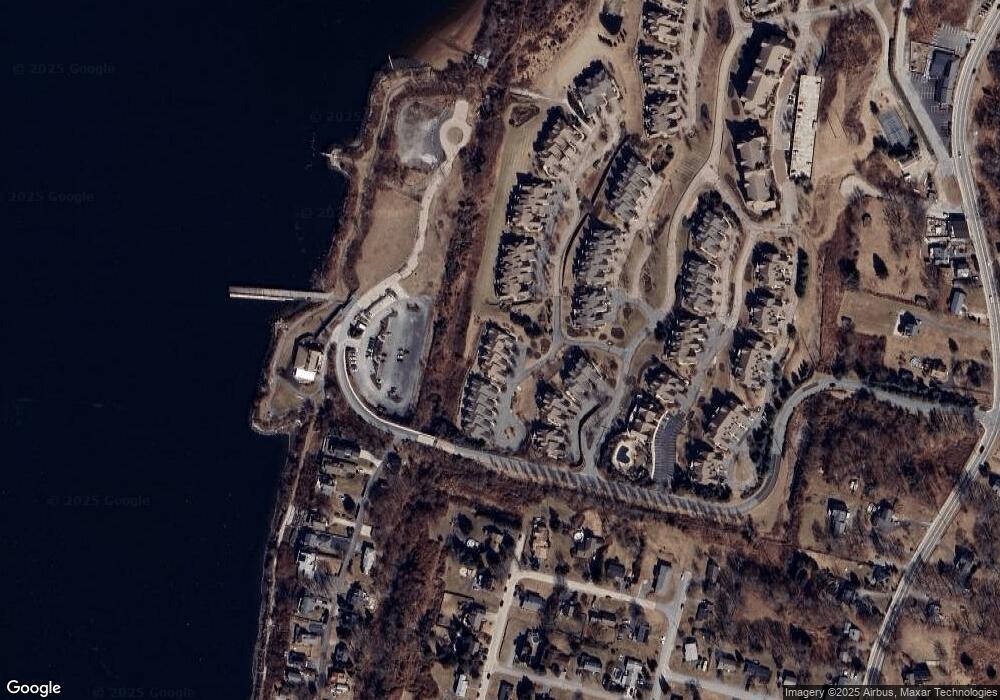
Map
Nearby Homes
- 83 Waters Edge Unit 24
- 9 Cutter Ln
- 87 Waters Edge
- 42 Lewis St
- 47 Watermark Dr
- 15 Rocky Ave
- 171 Leeshore Ln
- 898 Main Rd
- 896 Main Rd
- 50 Stevens St
- 24 Bismark Ave
- 8 Tucker Ave
- 100 Harbor Ridge Ln
- 169 Narragansett Blvd
- 102 Hayden Ave
- 35 Hambly Rd
- 730 Main Rd
- 48 Hambly Rd
- 10 Mount Hope Ave
- 153 Sakonnet Ridge Dr
- 13 Sloop Ln Unit 8
- 9 Sloop Ln
- 17 Sloop Ln
- 17 Sloop Ln Unit 7
- 19 Sloop Ln
- 19 Sloop Ln Unit 6
- 23 Sloop Ln
- 23 Sloop Ln Unit 5
- 27 Sloop Ln
- 37 Waters Edge
- 37 Waters Edge Unit 10
- 31 Sloop Ln
- 31 Sloop Ln Unit 3
- 31 Sloop Ln Unit 31
- 41 Waters Edge
- 41 Waters Edge Unit 41
- 41 Waters Edge Unit 11
- 33 Sloop Ln
- 33 Sloop Ln Unit 2
- 8 Sloop Ln