13 Springfield Ave Oak Bluffs, MA 02557
Oak Bluffs NeighborhoodEstimated Value: $1,125,785 - $1,535,000
3
Beds
2
Baths
1,333
Sq Ft
$942/Sq Ft
Est. Value
About This Home
This home is located at 13 Springfield Ave, Oak Bluffs, MA 02557 and is currently estimated at $1,255,446, approximately $941 per square foot. 13 Springfield Ave is a home with nearby schools including Oak Bluffs Elementary School, Martha's Vineyard Regional High School, and Vineyard Montessori School.
Ownership History
Date
Name
Owned For
Owner Type
Purchase Details
Closed on
Mar 28, 2024
Sold by
Kondra Frederick H Est and Kondra
Bought by
Kondra Anne M
Current Estimated Value
Purchase Details
Closed on
Oct 5, 1989
Bought by
Kondra Fred H
Create a Home Valuation Report for This Property
The Home Valuation Report is an in-depth analysis detailing your home's value as well as a comparison with similar homes in the area
Home Values in the Area
Average Home Value in this Area
Purchase History
| Date | Buyer | Sale Price | Title Company |
|---|---|---|---|
| Kondra Anne M | -- | None Available | |
| Kondra Fred H | $5,000 | -- |
Source: Public Records
Mortgage History
| Date | Status | Borrower | Loan Amount |
|---|---|---|---|
| Previous Owner | Kondra Fred H | $192,925 | |
| Previous Owner | Kondra Fred H | $80,000 | |
| Previous Owner | Kondra Fred H | $215,600 | |
| Previous Owner | Kondra Fred H | $205,025 |
Source: Public Records
Tax History Compared to Growth
Tax History
| Year | Tax Paid | Tax Assessment Tax Assessment Total Assessment is a certain percentage of the fair market value that is determined by local assessors to be the total taxable value of land and additions on the property. | Land | Improvement |
|---|---|---|---|---|
| 2025 | $4,518 | $894,700 | $462,300 | $432,400 |
| 2024 | $4,467 | $854,100 | $420,100 | $434,000 |
| 2023 | $4,510 | $854,100 | $408,200 | $445,900 |
| 2022 | $4,352 | $640,900 | $307,400 | $333,500 |
| 2021 | $4,036 | $547,600 | $260,800 | $286,800 |
| 2020 | $4,324 | $514,500 | $248,400 | $266,100 |
| 2019 | $4,194 | $477,700 | $216,600 | $261,100 |
| 2018 | $3,958 | $456,600 | $195,700 | $260,900 |
| 2017 | $3,746 | $414,200 | $185,500 | $228,700 |
| 2016 | $3,142 | $387,400 | $191,200 | $196,200 |
| 2015 | $2,967 | $372,800 | $191,200 | $181,600 |
| 2014 | $2,793 | $357,600 | $170,900 | $186,700 |
Source: Public Records
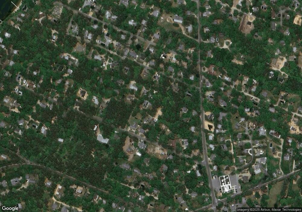
Map
Nearby Homes
- 0-A California Ave Unit Part lot 79
- 0-B California Ave Unit Part lot 79
- 0 California Ave Unit 76 42933
- 70 Carol Ln
- 60R Carol Ln
- 60 -R Carol Ln
- 25 Windy Hill Rd
- 38 Rogers Way
- 9 Bayview Ave
- 72 Washington Ave
- 6 Sachem Way
- 8 Hitchings Cir
- 48 Vineyard Avenue Extension
- 28 Barling Ave
- 0 Pennsylvania Ave Unit 43914
- 30 Franklin Ave
- 1 Jessie Leigh Mitchell Way
- 26 Winthrop Ave
- 96 Manchester Ave
- 54 Towanticut Ave
- 15 Springfield Ave
- 15 Springfield Ave
- 24 Winne Ave
- 0 Corner Winne Oriental
- 00 Oriental Ave
- 6 Springfield Ave
- 31 Worcester Ave
- 27 Worcester Ave
- 16 Webaqua Rd
- 4 Beech Tree Landing
- 2 Front St
- 78 Front St
- 74 Front St
- 36 Front St
- 68 Front St
- 16 Front St
- 29 Springfield Ave
- 6 Front St
- 36 Winnie Ave
- 36 Winne Ave