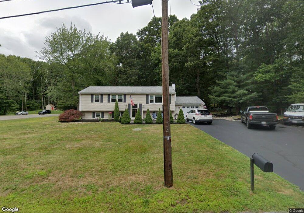
13 Spruce Cir Hanover, MA 02339
Estimated Value: $709,000 - $747,000
3
Beds
1
Bath
2,016
Sq Ft
$361/Sq Ft
Est. Value
About This Home
This home is located at 13 Spruce Cir, Hanover, MA 02339 and is currently estimated at $726,812, approximately $360 per square foot. 13 Spruce Cir is a home located in Plymouth County with nearby schools including Hanover High School, South Shore Charter Public School, and Norwell KinderCare.
Ownership History
Date
Name
Owned For
Owner Type
Purchase Details
Closed on
Apr 17, 2009
Sold by
Smith Ronald J and Smith Ruth L
Bought by
Wallace Sean E and Mclean Kathryn
Current Estimated Value
Home Financials for this Owner
Home Financials are based on the most recent Mortgage that was taken out on this home.
Original Mortgage
$318,889
Interest Rate
5.02%
Mortgage Type
Purchase Money Mortgage
Create a Home Valuation Report for This Property
The Home Valuation Report is an in-depth analysis detailing your home's value as well as a comparison with similar homes in the area
Home Values in the Area
Average Home Value in this Area
Purchase History
| Date | Buyer | Sale Price | Title Company |
|---|---|---|---|
| Wallace Sean E | $329,900 | -- |
Source: Public Records
Mortgage History
| Date | Status | Borrower | Loan Amount |
|---|---|---|---|
| Open | Wallace Sean E | $322,598 | |
| Closed | Wallace Sean E | $318,889 |
Source: Public Records
Tax History
| Year | Tax Paid | Tax Assessment Tax Assessment Total Assessment is a certain percentage of the fair market value that is determined by local assessors to be the total taxable value of land and additions on the property. | Land | Improvement |
|---|---|---|---|---|
| 2025 | $7,499 | $607,200 | $270,700 | $336,500 |
| 2024 | $7,490 | $583,300 | $270,700 | $312,600 |
| 2023 | $7,417 | $549,800 | $246,000 | $303,800 |
| 2022 | $7,656 | $502,000 | $246,000 | $256,000 |
| 2021 | $7,941 | $451,600 | $223,700 | $227,900 |
| 2020 | $24,099 | $447,600 | $223,700 | $223,900 |
| 2019 | $7,708 | $415,600 | $223,700 | $191,900 |
| 2018 | $6,701 | $411,600 | $223,700 | $187,900 |
| 2017 | $6,086 | $371,700 | $212,400 | $159,300 |
| 2016 | $5,941 | $352,400 | $193,100 | $159,300 |
| 2015 | $5,199 | $321,900 | $193,100 | $128,800 |
Source: Public Records
Map
Nearby Homes
- 53 Chestnut St
- 535 Webster St
- 776 Main St
- 7 Assinippi Ave Unit 205
- 7 Assinippi Ave Unit 306
- 46 Brookwood Rd
- 49 Washington Park Dr
- 44 Stone Meadow Ln
- 47 Stone Meadow Ln
- 506 Main St
- 164 Main St
- 168 Larchmont Ln
- 62 Larchmont Ln
- 18 Winterberry Ln
- 225 Prospect St
- 36 Bayberry Ln
- 214 Washington St Unit 24
- 214 Washington St Unit 28
- 68 East St
- 738 Whiting St
- 281 Woodland Dr
- 305 Woodland Dr
- 26 Spruce Cir
- 40 Spruce Cir
- 288 Woodland Dr
- 34 Spruce Cir
- 267 Woodland Dr
- 306 Woodland Dr
- 317 Woodland Dr
- 276 Woodland Dr
- 15 Beechnut Cir
- 353 Dillingham Way
- 335 Dillingham Way
- 233 Spruce Way
- 236 Spruce Way
- 262 Woodland Dr
- 321 Dillingham Way
- 342 Woodland Dr
- 329 Woodland Dr
- 21 Blue Spruce Ln
Your Personal Tour Guide
Ask me questions while you tour the home.