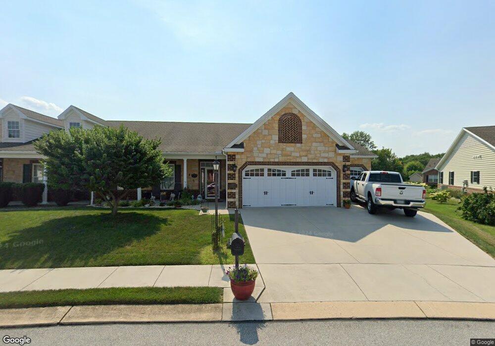
13 Stedtle Ave Littlestown, PA 17340
Estimated Value: $403,000 - $495,000
3
Beds
2
Baths
2,213
Sq Ft
$205/Sq Ft
Est. Value
About This Home
This home is located at 13 Stedtle Ave, Littlestown, PA 17340 and is currently estimated at $454,098, approximately $205 per square foot. 13 Stedtle Ave is a home with nearby schools including Rolling Acres El School, Maple Avenue Middle School, and Littlestown Senior High School.
Ownership History
Date
Name
Owned For
Owner Type
Purchase Details
Closed on
Mar 25, 2012
Sold by
Heritage Hills Ii
Bought by
Cover Jack L and Cover Margie K
Current Estimated Value
Home Financials for this Owner
Home Financials are based on the most recent Mortgage that was taken out on this home.
Original Mortgage
$265,835
Interest Rate
3.58%
Mortgage Type
Construction
Create a Home Valuation Report for This Property
The Home Valuation Report is an in-depth analysis detailing your home's value as well as a comparison with similar homes in the area
Home Values in the Area
Average Home Value in this Area
Purchase History
| Date | Buyer | Sale Price | Title Company |
|---|---|---|---|
| Cover Jack L | $331,835 | None Available |
Source: Public Records
Mortgage History
| Date | Status | Borrower | Loan Amount |
|---|---|---|---|
| Previous Owner | Cover Jack L | $265,835 |
Source: Public Records
Tax History
| Year | Tax Paid | Tax Assessment Tax Assessment Total Assessment is a certain percentage of the fair market value that is determined by local assessors to be the total taxable value of land and additions on the property. | Land | Improvement |
|---|---|---|---|---|
| 2025 | $6,115 | $266,000 | $83,400 | $182,600 |
| 2024 | $5,893 | $266,000 | $83,400 | $182,600 |
| 2023 | $5,664 | $266,000 | $83,400 | $182,600 |
| 2022 | $5,630 | $266,000 | $83,400 | $182,600 |
| 2021 | $5,463 | $266,000 | $83,400 | $182,600 |
| 2020 | $5,398 | $266,000 | $83,400 | $182,600 |
| 2019 | $5,236 | $266,000 | $83,400 | $182,600 |
| 2018 | $5,141 | $266,000 | $83,400 | $182,600 |
| 2017 | $5,009 | $266,000 | $83,400 | $182,600 |
| 2016 | -- | $265,000 | $83,400 | $181,600 |
| 2015 | -- | $265,000 | $83,400 | $181,600 |
| 2014 | -- | $347,000 | $83,400 | $263,600 |
Source: Public Records
Map
Nearby Homes
- 153 Stoners Cir
- 20 Stedtle Ave
- 620 Saint Johns Rd
- 720 W Myrtle St Unit 14
- 61 Stoners Cir
- 45 James Ave
- 1002 Frederick Pike Unit 4
- 102 N Queen St
- 5160 Baltimore Pike Unit 3
- 141 W King St
- 0 Locust Dr Unit PAAD2015910
- 117 Charles St
- 115 Charles St
- 161 Cemetery St
- 162 Newark St
- 14 Revere Ct Unit 71
- 102 Cemetery St
- 230 M St
- 311 S Columbus Ave Unit 128
- 11 Yorktowne Ct Unit 96
- 15 Stedtle Ave
- 11 Stedtle Ave Unit 7A
- 4 Digges Ct
- 9 Stedtle Ave Unit 7B
- 19 Stedtle Ave
- 14 Digges Ct
- 2 Digges Ct Unit 8A
- 21 Stedtle Ave
- 12 Stedtle Ave
- 14 Stedtle Ave
- 0 Stoners Cir
- 16 Digges Ct
- 7 Digges Ct
- 25 Stedtle Ave
- 9 Digges Ct
- 8 Stedtle Ave
- 172 Stoners Cir
- 170 Stoners Cir
- 22 Stedtle Ave
- 6 Stedtle Ave
Your Personal Tour Guide
Ask me questions while you tour the home.