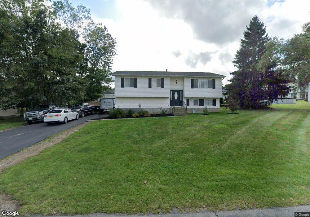
13 Tano Dr Highland, NY 12528
Highland NeighborhoodEstimated Value: $382,000 - $425,000
3
Beds
2
Baths
1,666
Sq Ft
$242/Sq Ft
Est. Value
About This Home
This home is located at 13 Tano Dr, Highland, NY 12528 and is currently estimated at $402,370, approximately $241 per square foot. 13 Tano Dr is a home located in Ulster County with nearby schools including Highland Elementary School, Highland Middle School, and Highland High School.
Ownership History
Date
Name
Owned For
Owner Type
Purchase Details
Closed on
Apr 19, 2007
Sold by
Hatfield Henry C
Bought by
Paulsen Peter and Paulsen Demaris
Current Estimated Value
Home Financials for this Owner
Home Financials are based on the most recent Mortgage that was taken out on this home.
Original Mortgage
$1,305
Outstanding Balance
$791
Interest Rate
6.19%
Mortgage Type
Seller Take Back
Estimated Equity
$401,579
Create a Home Valuation Report for This Property
The Home Valuation Report is an in-depth analysis detailing your home's value as well as a comparison with similar homes in the area
Home Values in the Area
Average Home Value in this Area
Purchase History
| Date | Buyer | Sale Price | Title Company |
|---|---|---|---|
| Paulsen Peter | $225,000 | None Available |
Source: Public Records
Mortgage History
| Date | Status | Borrower | Loan Amount |
|---|---|---|---|
| Open | Paulsen Peter | $1,305 |
Source: Public Records
Tax History Compared to Growth
Tax History
| Year | Tax Paid | Tax Assessment Tax Assessment Total Assessment is a certain percentage of the fair market value that is determined by local assessors to be the total taxable value of land and additions on the property. | Land | Improvement |
|---|---|---|---|---|
| 2024 | $8,830 | $230,700 | $73,500 | $157,200 |
| 2023 | $8,687 | $230,700 | $73,500 | $157,200 |
| 2022 | $8,564 | $230,700 | $73,500 | $157,200 |
| 2021 | $8,564 | $230,700 | $73,500 | $157,200 |
| 2020 | $7,822 | $230,700 | $73,500 | $157,200 |
| 2019 | $12,646 | $230,700 | $73,500 | $157,200 |
| 2018 | $7,923 | $230,700 | $73,500 | $157,200 |
| 2017 | $13,015 | $230,700 | $73,500 | $157,200 |
| 2016 | $12,714 | $230,700 | $73,500 | $157,200 |
| 2015 | -- | $230,700 | $73,500 | $157,200 |
| 2014 | -- | $230,700 | $73,500 | $157,200 |
Source: Public Records
Map
Nearby Homes
- 2 Cambridge Ct
- 8 Sunny Brook Cir
- 39 Sunny Brook Cir
- 39 Sunnybrook Cir
- 38 Sunny Brook Cir
- 53 Sunny Brook Cir
- 123 Vineyard Ave
- 6 Smith Terrace
- 12 Woodside Place
- 18 Hillside Place
- 0 White St
- 22 Woodside Place
- TBD Route 9w
- 69 North Rd
- 153 Upper Grand St
- 35 Washington Lake Rd
- 22 Washington Ave
- 25 Mile Hill Rd
- 224 Vineyard Ave
- 0 Haviland Rd Unit KEY899872