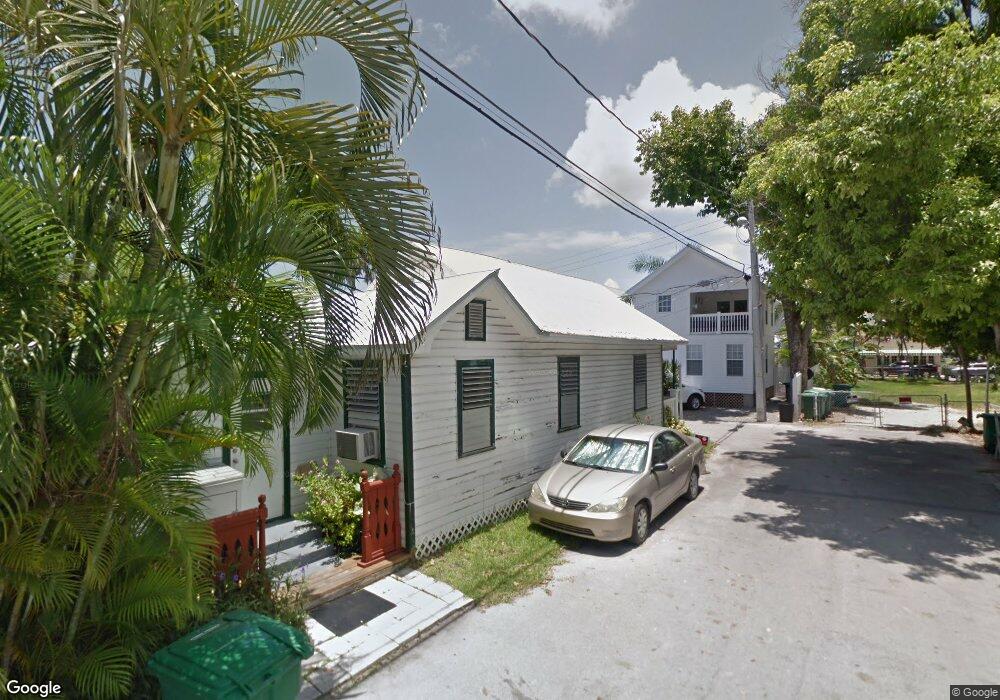
13 Thompson Ln Key West, FL 33040
Old Town NeighborhoodEstimated Value: $677,278 - $1,230,000
2
Beds
1
Bath
764
Sq Ft
$1,289/Sq Ft
Est. Value
About This Home
This home is located at 13 Thompson Ln, Key West, FL 33040 and is currently estimated at $984,570, approximately $1,288 per square foot. 13 Thompson Ln is a home located in Monroe County with nearby schools including Horace O'Bryant School, Key West High School, and May Sands Montessori School.
Ownership History
Date
Name
Owned For
Owner Type
Purchase Details
Closed on
Oct 30, 2008
Sold by
Pazo Albert and Pazo Otilia
Bought by
Pazo Richard Albert and Pazo Louis Albert
Current Estimated Value
Purchase Details
Closed on
Jul 2, 1996
Sold by
Pazo Robert
Bought by
Pazo Albert and Pazo Otilia
Home Financials for this Owner
Home Financials are based on the most recent Mortgage that was taken out on this home.
Original Mortgage
$100,000
Interest Rate
8.05%
Mortgage Type
New Conventional
Create a Home Valuation Report for This Property
The Home Valuation Report is an in-depth analysis detailing your home's value as well as a comparison with similar homes in the area
Home Values in the Area
Average Home Value in this Area
Purchase History
| Date | Buyer | Sale Price | Title Company |
|---|---|---|---|
| Pazo Richard Albert | -- | Attorney | |
| Pazo Albert | $51,700 | -- | |
| Pazo Albert | $51,700 | -- |
Source: Public Records
Mortgage History
| Date | Status | Borrower | Loan Amount |
|---|---|---|---|
| Previous Owner | Pazo Albert | $100,000 |
Source: Public Records
Tax History
| Year | Tax Paid | Tax Assessment Tax Assessment Total Assessment is a certain percentage of the fair market value that is determined by local assessors to be the total taxable value of land and additions on the property. | Land | Improvement |
|---|---|---|---|---|
| 2025 | $1,082 | $122,966 | -- | -- |
| 2024 | $1,049 | $119,501 | -- | -- |
| 2023 | $1,049 | $116,021 | $0 | $0 |
| 2022 | $1,034 | $112,642 | $0 | $0 |
| 2021 | $1,025 | $109,362 | $0 | $0 |
| 2020 | $1,006 | $107,853 | $0 | $0 |
| 2019 | $986 | $105,429 | $0 | $0 |
| 2018 | $971 | $103,464 | $0 | $0 |
| 2017 | $961 | $101,336 | $0 | $0 |
| 2016 | $968 | $99,252 | $0 | $0 |
| 2015 | $988 | $98,562 | $0 | $0 |
| 2014 | $1,000 | $97,780 | $0 | $0 |
Source: Public Records
Map
Nearby Homes
- 410 Louisa St
- 406 United St
- 411 Louisa St
- 508 Louisa St Unit 3
- 1202 Whitehead St
- 422 Amelia St Unit 6
- 1121 Whitehead St
- 525 Louisa St
- 1119 Whitehead St
- 512 Amelia St
- 414 Virginia St
- 1102 Whitehead St
- 1119 Simonton St Unit A2 & C1
- 1119 Simonton St Unit A1, A2, C1
- 1119 Simonton St Unit A1
- 1075 Duval St Unit R10
- 1401 Simonton St Unit 20
- 1401 Simonton St Unit 11
- 1401 Simonton St Unit 16
- 1305 Elizabeth St
- 11 Thompson Ln
- 416 Louisa St
- 414 Louisa St
- 7 Thompson Ln
- 1212 Duval St
- 408 Louisa St
- 1218 Duval St Unit Comm
- 1218 Duval St
- 1218 Duval St Unit (Commercial)
- 419 United St
- 419 United St Unit 3
- 419 United St Unit 4
- 419 United St Unit 1
- 419 United St Unit 2
- 417 United St
- 418 United St
- 408 Catherine St
- 1207 Whitehead St
- 415 United St
- 1202 Duval St
Your Personal Tour Guide
Ask me questions while you tour the home.