Estimated Value: $841,138 - $949,000
3
Beds
2
Baths
2,302
Sq Ft
$386/Sq Ft
Est. Value
About This Home
This home is located at 13 Tuttle Dr, Acton, MA 01720 and is currently estimated at $889,285, approximately $386 per square foot. 13 Tuttle Dr is a home located in Middlesex County with nearby schools including Acton-Boxborough Regional High School, Maynard Knowledge Beginnings, and The Imago School.
Ownership History
Date
Name
Owned For
Owner Type
Purchase Details
Closed on
Oct 29, 1993
Sold by
Miller Alfred P and Miller Nancy
Bought by
Belval Maryanne and Chase Gary L
Current Estimated Value
Home Financials for this Owner
Home Financials are based on the most recent Mortgage that was taken out on this home.
Original Mortgage
$161,700
Interest Rate
6.86%
Mortgage Type
Purchase Money Mortgage
Create a Home Valuation Report for This Property
The Home Valuation Report is an in-depth analysis detailing your home's value as well as a comparison with similar homes in the area
Home Values in the Area
Average Home Value in this Area
Purchase History
| Date | Buyer | Sale Price | Title Company |
|---|---|---|---|
| Belval Maryanne | $170,250 | -- |
Source: Public Records
Mortgage History
| Date | Status | Borrower | Loan Amount |
|---|---|---|---|
| Open | Belval Maryanne | $260,000 | |
| Closed | Belval Maryanne | $65,000 | |
| Closed | Belval Maryanne | $161,700 | |
| Previous Owner | Belval Maryanne | $70,800 |
Source: Public Records
Tax History Compared to Growth
Tax History
| Year | Tax Paid | Tax Assessment Tax Assessment Total Assessment is a certain percentage of the fair market value that is determined by local assessors to be the total taxable value of land and additions on the property. | Land | Improvement |
|---|---|---|---|---|
| 2025 | $12,350 | $720,100 | $314,600 | $405,500 |
| 2024 | $11,691 | $701,300 | $314,600 | $386,700 |
| 2023 | $11,156 | $635,300 | $286,100 | $349,200 |
| 2022 | $11,143 | $572,900 | $248,700 | $324,200 |
| 2021 | $10,625 | $525,200 | $230,200 | $295,000 |
| 2020 | $10,114 | $525,700 | $230,200 | $295,500 |
| 2019 | $9,673 | $499,400 | $230,200 | $269,200 |
| 2018 | $8,917 | $460,100 | $230,200 | $229,900 |
| 2017 | $8,770 | $460,100 | $230,200 | $229,900 |
| 2016 | $8,177 | $425,200 | $230,200 | $195,000 |
| 2015 | $8,123 | $426,400 | $230,200 | $196,200 |
| 2014 | $7,895 | $405,900 | $230,200 | $175,700 |
Source: Public Records
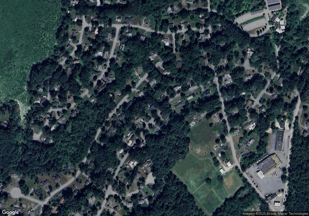
Map
Nearby Homes
- 246 Main St Unit 2
- 7 Kelley Rd
- 4,7,8 Crestwood Ln
- 116 Windsor Ave
- 19 Railroad St Unit D2
- 19 Railroad St Unit C2
- 129 Main St Unit 129
- 131 Main St
- 285 Central St Unit 285
- 90 Willow St Unit 1
- 92 Willow St Unit 3
- 92 Willow St Unit 2
- 40 High St
- 70 River St
- 5 Elm St Unit 1
- 71 Liberty St
- 46 Taylor Rd
- 11 Braebrook
- 4 Huron Rd
- 128 Parker St Unit 3B