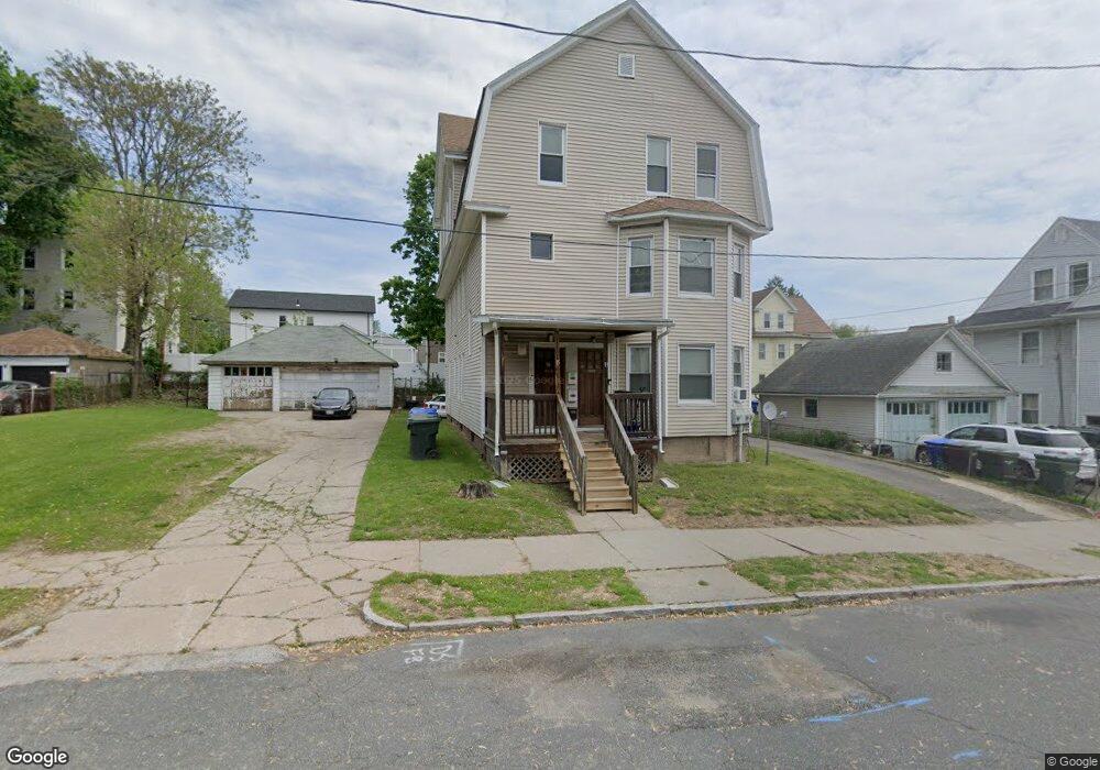
13 Underwood St Unit 15 Springfield, MA 01104
Liberty Heights NeighborhoodEstimated Value: $263,371 - $493,000
6
Beds
3
Baths
3,876
Sq Ft
$89/Sq Ft
Est. Value
About This Home
This home is located at 13 Underwood St Unit 15, Springfield, MA 01104 and is currently estimated at $345,093, approximately $89 per square foot. 13 Underwood St Unit 15 is a home located in Hampden County with nearby schools including Edward P. Boland School, High School Of Commerce, and Springfield High School of Science and Technology.
Ownership History
Date
Name
Owned For
Owner Type
Purchase Details
Closed on
Dec 13, 2005
Sold by
Lysak Krystyna
Bought by
Rivera Ismael
Current Estimated Value
Home Financials for this Owner
Home Financials are based on the most recent Mortgage that was taken out on this home.
Original Mortgage
$117,600
Outstanding Balance
$65,328
Interest Rate
6.17%
Mortgage Type
Purchase Money Mortgage
Estimated Equity
$279,765
Create a Home Valuation Report for This Property
The Home Valuation Report is an in-depth analysis detailing your home's value as well as a comparison with similar homes in the area
Home Values in the Area
Average Home Value in this Area
Purchase History
| Date | Buyer | Sale Price | Title Company |
|---|---|---|---|
| Rivera Ismael | $147,000 | -- |
Source: Public Records
Mortgage History
| Date | Status | Borrower | Loan Amount |
|---|---|---|---|
| Open | Rivera Ismael | $117,600 | |
| Closed | Rivera Ismael | $29,400 |
Source: Public Records
Tax History Compared to Growth
Tax History
| Year | Tax Paid | Tax Assessment Tax Assessment Total Assessment is a certain percentage of the fair market value that is determined by local assessors to be the total taxable value of land and additions on the property. | Land | Improvement |
|---|---|---|---|---|
| 2025 | $4,627 | $295,100 | $30,000 | $265,100 |
| 2024 | $4,977 | $309,900 | $30,000 | $279,900 |
| 2023 | $4,206 | $244,500 | $27,300 | $217,200 |
| 2022 | $4,315 | $229,300 | $25,500 | $203,800 |
| 2021 | $3,973 | $210,200 | $23,200 | $187,000 |
| 2020 | $3,677 | $188,300 | $23,200 | $165,100 |
| 2019 | $2,905 | $147,600 | $23,200 | $124,400 |
| 2018 | $2,928 | $148,800 | $23,200 | $125,600 |
| 2017 | $2,770 | $140,900 | $16,800 | $124,100 |
| 2016 | $2,662 | $135,400 | $16,800 | $118,600 |
| 2015 | $2,526 | $128,400 | $16,800 | $111,600 |
Source: Public Records
Map
Nearby Homes
- 20 Webster St
- 42 Ringgold St
- 69 Winter St
- 482 Chestnut St
- 57 Narragansett St
- 13 Ringgold St
- 385 Worthington St Unit 3D
- 55 Governor St
- 37 Phoenix St
- 750 Liberty St
- LOT 3 N S Worthington St
- 140 Chestnut St Unit 706
- 140 Chestnut St Unit 204
- 140 Chestnut St Unit 819
- 140 Chestnut St Unit 607
- 140 Chestnut St Unit 210
- 140 Chestnut St Unit 202
- 140 Chestnut St Unit 604
- 140 Chestnut St Unit 709
- 62-64 Governor St
- 356 Franklin St Unit 358
- 356-358 Franklin St
- 358 Franklin St
- 25 Underwood St Unit 27
- 366 Franklin St Unit 368
- 14 Crane St
- 18 Crane St
- 372 Franklin St Unit 374
- 372 Franklin St Unit 3
- 372 Franklin St Unit 2
- 22 Crane St Unit 24
- 22 Crane St Unit 2nd
- 22-24 Crane St Unit 24 Crane Street Apt
- 22 Crane St Unit 1
- 22-24 Crane St
- 22 Crane St
- 57 Webster St Unit 59
- 57-59 Webster St
- 376-378 Franklin St
- 376 Franklin St