13 Union Way Sicklerville, NJ 08081
Erial NeighborhoodEstimated Value: $365,583 - $469,000
--
Bed
--
Bath
2,165
Sq Ft
$202/Sq Ft
Est. Value
About This Home
This home is located at 13 Union Way, Sicklerville, NJ 08081 and is currently estimated at $437,396, approximately $202 per square foot. 13 Union Way is a home with nearby schools including James W. Lilley Elementary School, Timber Creek High School, and Erial Community Church Christian School.
Ownership History
Date
Name
Owned For
Owner Type
Purchase Details
Closed on
Dec 1, 2020
Sold by
Nvr Inc
Bought by
Petrone Debra
Current Estimated Value
Home Financials for this Owner
Home Financials are based on the most recent Mortgage that was taken out on this home.
Original Mortgage
$288,567
Interest Rate
2.71%
Mortgage Type
New Conventional
Purchase Details
Closed on
Jun 30, 2020
Sold by
Independence Square Equities Llc
Bought by
Nvr Inc and Ryan Homes
Create a Home Valuation Report for This Property
The Home Valuation Report is an in-depth analysis detailing your home's value as well as a comparison with similar homes in the area
Home Values in the Area
Average Home Value in this Area
Purchase History
| Date | Buyer | Sale Price | Title Company |
|---|---|---|---|
| Petrone Debra | $313,660 | Legacy Title | |
| Petrone Debra | $313,660 | Legacy Title | |
| Nvr Inc | $60,750 | Title America Agency Corp |
Source: Public Records
Mortgage History
| Date | Status | Borrower | Loan Amount |
|---|---|---|---|
| Previous Owner | Petrone Debra | $288,567 |
Source: Public Records
Tax History Compared to Growth
Tax History
| Year | Tax Paid | Tax Assessment Tax Assessment Total Assessment is a certain percentage of the fair market value that is determined by local assessors to be the total taxable value of land and additions on the property. | Land | Improvement |
|---|---|---|---|---|
| 2025 | $9,565 | $224,000 | $33,600 | $190,400 |
| 2024 | $9,300 | $224,000 | $33,600 | $190,400 |
| 2023 | $9,300 | $224,000 | $33,600 | $190,400 |
| 2022 | $9,242 | $224,000 | $33,600 | $190,400 |
| 2021 | $9,038 | $224,000 | $33,600 | $190,400 |
| 2020 | $246 | $6,100 | $6,100 | $0 |
| 2019 | $241 | $6,100 | $6,100 | $0 |
| 2018 | $240 | $6,100 | $6,100 | $0 |
| 2017 | $232 | $6,100 | $6,100 | $0 |
| 2016 | $227 | $6,100 | $6,100 | $0 |
Source: Public Records
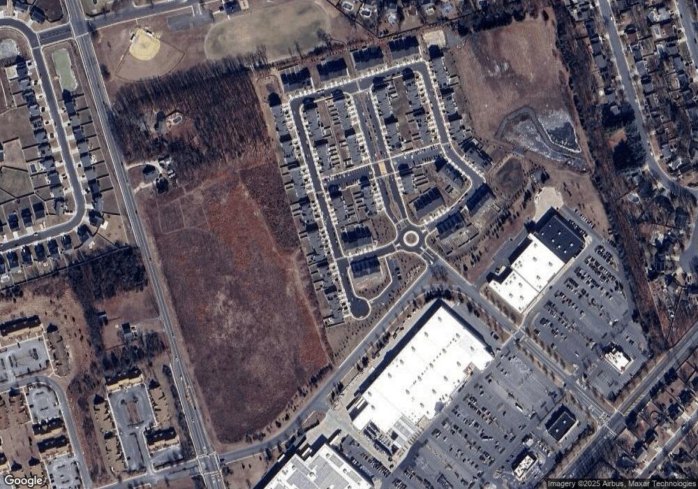
Map
Nearby Homes
- 286 Freedom Way
- 19 Circle Dr
- 57 Circle Dr
- 45 Circle Dr
- 42 Aberdeen Dr
- 10 Easton Dr
- 1 Crisfield Rd
- 188 Orlando Dr
- 77 Rosalind Cir
- 102 Annapolis Dr
- 950 New Brooklyn Rd
- 161 Ciseley Dr
- 28 Glen Burnie Dr
- 312 Prospect Ave
- LAFAYETTE Plan at Sandy Ridge
- 4 Lexington Park Rd
- 38 Chestertown Rd
- 651 Erial Rd
- 99 Breckenridge Dr
- 200 Sandy Ridge Rd
- 11 Union Way
- 9 Union Way
- 7 Union Way
- 5 Union Way
- 263 Freedom Way
- 3 Union Way
- 261 Freedom Way
- 268 Freedom Way
- 270 Freedom Way
- 259 Freedom Way
- 264 Freedom Way
- 262 Freedom Way
- 272 Freedom Way
- 260 Freedom Way
- 257 Freedom Way
- 274 Freedom Way
- 9 Continental Blvd
- 276 Freedom Way
- 255 Freedom Way
- 258 Freedom Way