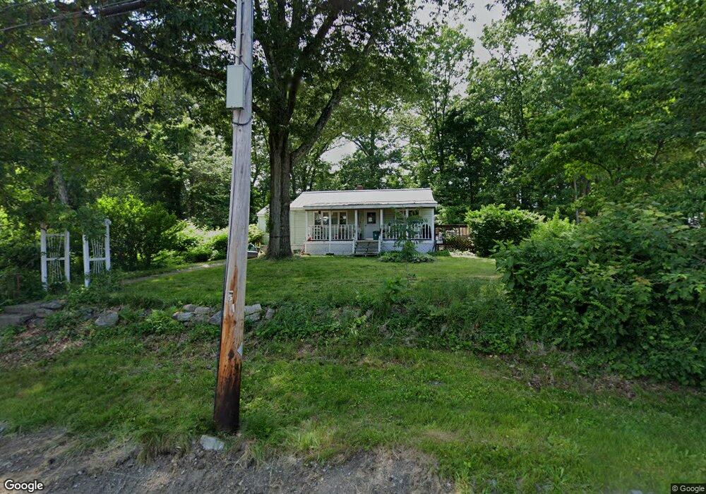
13 Waban Ave Worcester, MA 01604
Grafton Hill NeighborhoodEstimated Value: $330,000 - $371,000
2
Beds
1
Bath
792
Sq Ft
$442/Sq Ft
Est. Value
About This Home
This home is located at 13 Waban Ave, Worcester, MA 01604 and is currently estimated at $350,314, approximately $442 per square foot. 13 Waban Ave is a home located in Worcester County with nearby schools including Roosevelt Elementary School, Jacob Hiatt Magnet School, and Chandler Magnet.
Ownership History
Date
Name
Owned For
Owner Type
Purchase Details
Closed on
May 31, 1990
Sold by
Carter Donald R
Bought by
Mcdonald Joseph A
Current Estimated Value
Purchase Details
Closed on
Nov 21, 1988
Sold by
Carter Donald R
Bought by
Bianco Anne
Create a Home Valuation Report for This Property
The Home Valuation Report is an in-depth analysis detailing your home's value as well as a comparison with similar homes in the area
Home Values in the Area
Average Home Value in this Area
Purchase History
| Date | Buyer | Sale Price | Title Company |
|---|---|---|---|
| Mcdonald Joseph A | $106,000 | -- | |
| Bianco Anne | $45,000 | -- |
Source: Public Records
Mortgage History
| Date | Status | Borrower | Loan Amount |
|---|---|---|---|
| Open | Bianco Anne | $94,321 | |
| Closed | Bianco Anne | $36,227 | |
| Closed | Bianco Anne | $103,111 |
Source: Public Records
Tax History
| Year | Tax Paid | Tax Assessment Tax Assessment Total Assessment is a certain percentage of the fair market value that is determined by local assessors to be the total taxable value of land and additions on the property. | Land | Improvement |
|---|---|---|---|---|
| 2025 | $4,157 | $315,200 | $118,900 | $196,300 |
| 2024 | $4,091 | $297,500 | $118,900 | $178,600 |
| 2023 | $3,931 | $274,100 | $103,400 | $170,700 |
| 2022 | $3,465 | $227,800 | $82,700 | $145,100 |
| 2021 | $3,290 | $202,100 | $66,200 | $135,900 |
| 2020 | $3,177 | $186,900 | $66,200 | $120,700 |
| 2019 | $2,988 | $166,000 | $59,700 | $106,300 |
| 2018 | $2,912 | $154,000 | $59,700 | $94,300 |
| 2017 | $2,921 | $152,000 | $59,700 | $92,300 |
| 2016 | $2,801 | $135,900 | $44,300 | $91,600 |
| 2015 | $2,728 | $135,900 | $44,300 | $91,600 |
| 2014 | $2,655 | $135,900 | $44,300 | $91,600 |
Source: Public Records
Map
Nearby Homes
- 365 Lake Ave
- 12 Bruce St
- 143 Commonwealth Ave
- 1195 Grafton St Unit 29
- 1195 Grafton St Unit 19
- 1195 Grafton St Unit 39
- 330 Sunderland Rd Unit 80
- 7 Clarissa St
- 2 Salisbury St
- 12 Benham St
- 9 Marissa Cir
- 62 Edgemere Blvd
- 6 Nathaniel St
- 10 County St
- 41 Modoc St
- 25 Stoneham Rd
- 15 Lakeside Dr
- 53 Denver Terrace
- 21 Middlesex Ave Unit 102
- 259 Massasoit Rd
Your Personal Tour Guide
Ask me questions while you tour the home.