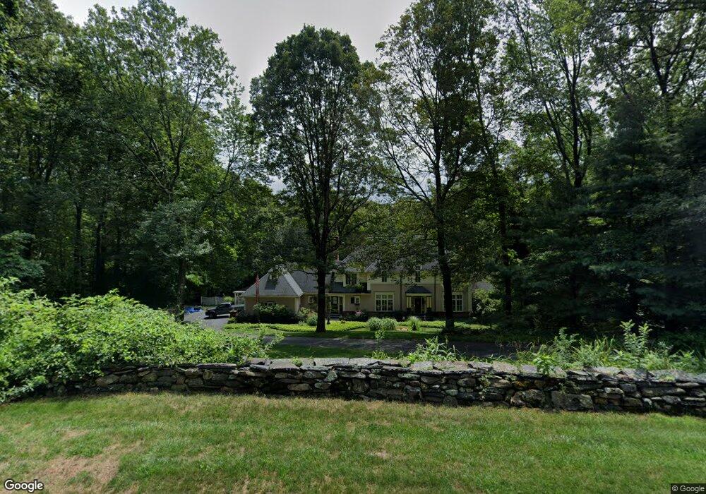
13 Webster Ln Wilbraham, MA 01095
Estimated Value: $763,972 - $909,000
4
Beds
4
Baths
3,628
Sq Ft
$225/Sq Ft
Est. Value
About This Home
This home is located at 13 Webster Ln, Wilbraham, MA 01095 and is currently estimated at $815,493, approximately $224 per square foot. 13 Webster Ln is a home located in Hampden County with nearby schools including Minnechaug Regional High School and Wilbraham & Monson Academy.
Ownership History
Date
Name
Owned For
Owner Type
Purchase Details
Closed on
Sep 2, 1992
Sold by
Odyssey Prop Corp
Bought by
Arbour Leonard R and Arbour Carol A
Current Estimated Value
Home Financials for this Owner
Home Financials are based on the most recent Mortgage that was taken out on this home.
Original Mortgage
$280,000
Interest Rate
8.09%
Mortgage Type
Purchase Money Mortgage
Purchase Details
Closed on
Jul 1, 1992
Sold by
Northeast Invest & Prp
Bought by
Odyssey Prop Corp
Create a Home Valuation Report for This Property
The Home Valuation Report is an in-depth analysis detailing your home's value as well as a comparison with similar homes in the area
Home Values in the Area
Average Home Value in this Area
Purchase History
| Date | Buyer | Sale Price | Title Company |
|---|---|---|---|
| Arbour Leonard R | $100,000 | -- | |
| Odyssey Prop Corp | $550,000 | -- |
Source: Public Records
Mortgage History
| Date | Status | Borrower | Loan Amount |
|---|---|---|---|
| Open | Odyssey Prop Corp | $272,600 | |
| Closed | Odyssey Prop Corp | $300,000 | |
| Closed | Odyssey Prop Corp | $280,000 |
Source: Public Records
Tax History Compared to Growth
Tax History
| Year | Tax Paid | Tax Assessment Tax Assessment Total Assessment is a certain percentage of the fair market value that is determined by local assessors to be the total taxable value of land and additions on the property. | Land | Improvement |
|---|---|---|---|---|
| 2025 | $13,301 | $743,900 | $137,700 | $606,200 |
| 2024 | $12,961 | $700,600 | $137,700 | $562,900 |
| 2023 | $11,831 | $636,800 | $137,700 | $499,100 |
| 2022 | $11,831 | $577,400 | $137,700 | $439,700 |
| 2021 | $12,313 | $536,300 | $140,500 | $395,800 |
| 2020 | $12,002 | $536,300 | $140,500 | $395,800 |
| 2019 | $11,694 | $536,400 | $140,500 | $395,900 |
| 2018 | $11,619 | $513,200 | $140,500 | $372,700 |
| 2017 | $11,290 | $513,200 | $140,500 | $372,700 |
| 2016 | $10,932 | $506,100 | $154,500 | $351,600 |
| 2015 | $10,567 | $506,100 | $154,500 | $351,600 |
Source: Public Records
Map
Nearby Homes
- 474-480 Mountain Rd
- 474 Mountain Rd
- 20 Old Orchard Rd
- 12 Highridge Rd
- 6 Hilltop Park
- 182 Mountain Rd
- 60 Lakeshore Dr
- 2 Vista Rd
- 2 Bayberry Dr Unit 51
- 69 High Pine Cir
- 54 High Pine Cir
- 28 Decorie Dr
- 68 Monson Rd
- 733 Monson Rd
- 8 Patriot Ridge Ln
- 35 Lake Dr
- 17 Peak Rd
- 4 Hillcrest Dr
- 38 King Dr
- 225 Maynard Rd