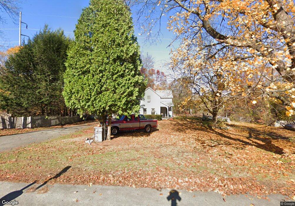
13 Westboro Rd North Grafton, MA 01536
Estimated Value: $399,000 - $493,000
2
Beds
1
Bath
1,712
Sq Ft
$262/Sq Ft
Est. Value
About This Home
This home is located at 13 Westboro Rd, North Grafton, MA 01536 and is currently estimated at $447,871, approximately $261 per square foot. 13 Westboro Rd is a home located in Worcester County with nearby schools including Grafton High School, Al-Hamra Academy, and Silver Spruce Montessori School.
Ownership History
Date
Name
Owned For
Owner Type
Purchase Details
Closed on
Aug 12, 1988
Sold by
Maranda Kenneth E
Bought by
Rossi Michael F
Current Estimated Value
Home Financials for this Owner
Home Financials are based on the most recent Mortgage that was taken out on this home.
Original Mortgage
$93,750
Interest Rate
10.34%
Mortgage Type
Purchase Money Mortgage
Create a Home Valuation Report for This Property
The Home Valuation Report is an in-depth analysis detailing your home's value as well as a comparison with similar homes in the area
Home Values in the Area
Average Home Value in this Area
Purchase History
| Date | Buyer | Sale Price | Title Company |
|---|---|---|---|
| Rossi Michael F | $125,000 | -- |
Source: Public Records
Mortgage History
| Date | Status | Borrower | Loan Amount |
|---|---|---|---|
| Open | Rossi Michael F | $89,000 | |
| Closed | Rossi Michael F | $93,750 |
Source: Public Records
Tax History Compared to Growth
Tax History
| Year | Tax Paid | Tax Assessment Tax Assessment Total Assessment is a certain percentage of the fair market value that is determined by local assessors to be the total taxable value of land and additions on the property. | Land | Improvement |
|---|---|---|---|---|
| 2025 | $5,371 | $385,300 | $152,900 | $232,400 |
| 2024 | $5,230 | $365,500 | $145,700 | $219,800 |
| 2023 | $4,975 | $316,700 | $145,700 | $171,000 |
| 2022 | $4,973 | $294,600 | $125,000 | $169,600 |
| 2021 | $4,795 | $279,100 | $113,700 | $165,400 |
| 2020 | $4,605 | $279,100 | $113,700 | $165,400 |
| 2019 | $4,340 | $260,500 | $110,400 | $150,100 |
| 2018 | $4,144 | $249,800 | $110,100 | $139,700 |
| 2017 | $3,775 | $230,200 | $83,500 | $146,700 |
| 2016 | $3,844 | $229,500 | $87,300 | $142,200 |
| 2015 | $3,815 | $231,200 | $87,300 | $143,900 |
| 2014 | $3,554 | $232,900 | $96,800 | $136,100 |
Source: Public Records
Map
Nearby Homes
- 4 Westboro Rd
- 15 Windle Ave
- 51 Cortland Grove Dr Unit 51
- 34 Clews St
- 1 Purinton St
- 22 Beverly Rd
- 11 Hovey Pond Dr Unit 11
- 7 Hovey Pond Dr Unit 7
- 194 Worcester St
- 0 East St
- 4 Winslow Ln Unit 1410
- 127 Stoney Hill Rd
- 17 Hingham Rd
- Ivywood Plan at Winslow Point - The Building 1 Series
- Hayden Plan at Winslow Point - The Building 1 Series
- 14 Northgate Ct Unit 14
- 2 Winslow Ln Unit 2302
- 2 Winslow Ln Unit 406
- 30 Falmouth Dr
- 151 Hartford Turnpike Unit 13
- 11 Westboro Rd
- 15 Westboro Rd
- 12 Westboro Rd
- 157 N Main St Unit B
- 9 Westboro Rd
- 10 Westboro Rd
- 10 Westboro Rd Unit 1
- 103 N Main St
- 106 N Main St
- 8 Westboro Rd
- 12 Elm St
- 5 Westboro Rd
- 104 N Main St
- 101A N Main St Unit A
- 102 N Main St
- 1 Oak Terrace
- 5 Westboro Rd
- 101 N Main St Unit B
- 101 N Main St Unit A
- 101 N Main St