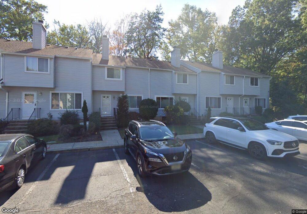
13 Westbrook Ct Roselle, NJ 07203
Estimated Value: $413,000 - $547,000
2
Beds
3
Baths
1,320
Sq Ft
$345/Sq Ft
Est. Value
About This Home
This home is located at 13 Westbrook Ct, Roselle, NJ 07203 and is currently estimated at $455,939, approximately $345 per square foot. 13 Westbrook Ct is a home located in Union County with nearby schools including Washington Elementary School, Leonard V. Moore Middle School, and Grace Wilday Junior High School.
Ownership History
Date
Name
Owned For
Owner Type
Purchase Details
Closed on
Nov 18, 2009
Sold by
Marcin Marilyn
Bought by
Williams Debbie and Williams Sabrina
Current Estimated Value
Home Financials for this Owner
Home Financials are based on the most recent Mortgage that was taken out on this home.
Original Mortgage
$232,707
Outstanding Balance
$151,326
Interest Rate
4.92%
Mortgage Type
FHA
Estimated Equity
$304,613
Create a Home Valuation Report for This Property
The Home Valuation Report is an in-depth analysis detailing your home's value as well as a comparison with similar homes in the area
Home Values in the Area
Average Home Value in this Area
Purchase History
| Date | Buyer | Sale Price | Title Company |
|---|---|---|---|
| Williams Debbie | $237,000 | Multiple |
Source: Public Records
Mortgage History
| Date | Status | Borrower | Loan Amount |
|---|---|---|---|
| Open | Williams Debbie | $232,707 |
Source: Public Records
Tax History Compared to Growth
Tax History
| Year | Tax Paid | Tax Assessment Tax Assessment Total Assessment is a certain percentage of the fair market value that is determined by local assessors to be the total taxable value of land and additions on the property. | Land | Improvement |
|---|---|---|---|---|
| 2025 | $9,582 | $110,200 | $46,800 | $63,400 |
| 2024 | $9,342 | $110,200 | $46,800 | $63,400 |
| 2023 | $9,342 | $110,200 | $46,800 | $63,400 |
| 2022 | $9,407 | $110,200 | $46,800 | $63,400 |
| 2021 | $9,350 | $110,200 | $46,800 | $63,400 |
| 2020 | $9,321 | $110,200 | $46,800 | $63,400 |
| 2019 | $9,202 | $110,200 | $46,800 | $63,400 |
| 2018 | $9,151 | $110,200 | $46,800 | $63,400 |
| 2017 | $9,103 | $110,200 | $46,800 | $63,400 |
| 2016 | $8,902 | $110,200 | $46,800 | $63,400 |
| 2015 | $8,901 | $110,200 | $46,800 | $63,400 |
| 2014 | $8,653 | $110,200 | $46,800 | $63,400 |
Source: Public Records
Map
Nearby Homes
- 38 Independence Dr
- 446 W 6th Ave
- 217 Grace St
- 210 W 7th Ave
- 13 Independence Dr
- 216 W 6th Ave
- 932 Wheatsheaf Rd
- 443 Wheatsheaf Rd
- 540 W 7th Ave
- 132 W 6th Ave
- 538 Dietz St
- 403 John St
- 932 Chestnut St
- 221 Douglas Rd
- 448 Cristiani St
- 126 W 5th Ave
- 114 E 5th Ave
- 248 W 3rd Ave
- 2513 N Wood Ave
- 115 Clark St
- 12 Westbrook Ct
- 14 Westbrook Ct
- 11 Westbrook Ct
- 15 Westbrook Ct
- 10 Westbrook Ct
- 16 Westbrook Ct
- 9 Westbrook Ct
- 18 Westbrook Ct
- 8 Westbrook Ct
- 7 Westbrook Ct
- 20 Westbrook Ct
- 6 Westbrook Ct
- 21 Westbrook Ct
- 5 Westbrook Ct
- 22 Westbrook Ct
- 4 Westbrook Ct
- 23 Westbrook Ct
- 3 Westbrook Ct
- 55 Woodland Dr
- 2 Westbrook Ct