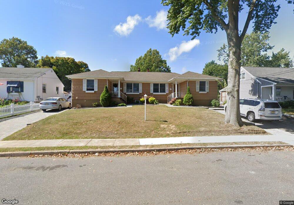
13 Wigwam Path Unit 15 Manasquan, NJ 08736
Estimated Value: $850,000 - $1,173,000
2
Beds
2
Baths
1,016
Sq Ft
$1,003/Sq Ft
Est. Value
About This Home
This home is located at 13 Wigwam Path Unit 15, Manasquan, NJ 08736 and is currently estimated at $1,018,900, approximately $1,002 per square foot. 13 Wigwam Path Unit 15 is a home located in Monmouth County with nearby schools including Manasquan Elementary School, Manasquan High School, and The Brookside School.
Ownership History
Date
Name
Owned For
Owner Type
Purchase Details
Closed on
Nov 20, 2024
Sold by
Mangino Eugena and Carl C Baratta Living Trust
Bought by
1315 Wp Llc
Current Estimated Value
Purchase Details
Closed on
Apr 8, 2009
Sold by
Baratta Carl
Bought by
The Carl C Baratta Living Trust
Purchase Details
Closed on
Aug 18, 2004
Sold by
Kurc Dawn
Bought by
Baratta Carl
Home Financials for this Owner
Home Financials are based on the most recent Mortgage that was taken out on this home.
Original Mortgage
$380,250
Interest Rate
6.02%
Purchase Details
Closed on
Aug 15, 2000
Sold by
Scott Robert
Bought by
Kurc Dawn
Home Financials for this Owner
Home Financials are based on the most recent Mortgage that was taken out on this home.
Original Mortgage
$233,000
Interest Rate
8.07%
Create a Home Valuation Report for This Property
The Home Valuation Report is an in-depth analysis detailing your home's value as well as a comparison with similar homes in the area
Home Values in the Area
Average Home Value in this Area
Purchase History
| Date | Buyer | Sale Price | Title Company |
|---|---|---|---|
| 1315 Wp Llc | $1,100,000 | Fidelity National Title | |
| 1315 Wp Llc | $1,100,000 | Fidelity National Title | |
| The Carl C Baratta Living Trust | -- | None Available | |
| Baratta Carl | $585,000 | -- | |
| Kurc Dawn | $259,000 | -- |
Source: Public Records
Mortgage History
| Date | Status | Borrower | Loan Amount |
|---|---|---|---|
| Previous Owner | Baratta Carl | $380,250 | |
| Previous Owner | Kurc Dawn | $233,000 |
Source: Public Records
Tax History Compared to Growth
Tax History
| Year | Tax Paid | Tax Assessment Tax Assessment Total Assessment is a certain percentage of the fair market value that is determined by local assessors to be the total taxable value of land and additions on the property. | Land | Improvement |
|---|---|---|---|---|
| 2025 | $10,209 | $574,200 | $283,300 | $290,900 |
| 2024 | $9,825 | $574,200 | $283,300 | $290,900 |
| 2023 | $9,825 | $574,200 | $283,300 | $290,900 |
| 2022 | $9,457 | $574,200 | $283,300 | $290,900 |
| 2021 | $9,457 | $574,200 | $283,300 | $290,900 |
| 2020 | $8,975 | $574,200 | $283,300 | $290,900 |
| 2019 | $8,975 | $574,200 | $283,300 | $290,900 |
| 2018 | $8,774 | $574,200 | $283,300 | $290,900 |
| 2017 | $8,441 | $574,200 | $283,300 | $290,900 |
| 2016 | $8,217 | $574,200 | $283,300 | $290,900 |
| 2015 | $8,618 | $504,300 | $218,000 | $286,300 |
| 2014 | $8,695 | $509,400 | $218,000 | $291,400 |
Source: Public Records
Map
Nearby Homes
- 34 Wigwam Path
- 10 Acpoan Place
- 3 Central Ave
- 2522 Algonkin Trail
- 1215 Church St
- 34 Broad St Unit 306
- 85 Virginia Ave
- 633 Agnes Ave
- 1207 Bayberry Rd
- 1347 Winter View Rd
- 308 South St
- 610 Agnes Ave
- 404 South St
- 116 Curtis Ave
- 105 Mount Ln Unit 3
- 15 Spruce Ave
- 42 Willow Way
- 1209 Lenape Trail
- 1353 Tamarack Rd
- 300 Union Ave
- 19 Wigwam Path
- 11 Wigwam Path
- 23 Wigwam Path
- 2408 Lenape Trail
- 2404 Lenape Trail
- 2410 Lenape Trail
- 7 Wigwam Path
- 27 Wigwam Path
- 12 Wigwam Path
- 16 Wigwam Path
- 2412 Lenape Trail
- 20 Wigwam Path
- 1099 Church St
- 119 Church St
- 29 Wigwam Path
- 26 Wigwam Path
- 111 Church St
- 2411 Lenape Trail
- 2416 Lenape Trail
- 35 Wigwam Path
