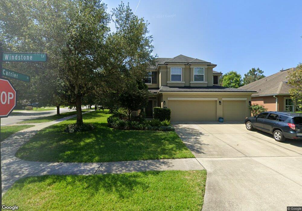
13 Windstone Ln Ponte Vedra, FL 32081
Estimated Value: $557,000 - $610,000
4
Beds
3
Baths
2,460
Sq Ft
$236/Sq Ft
Est. Value
About This Home
This home is located at 13 Windstone Ln, Ponte Vedra, FL 32081 and is currently estimated at $581,267, approximately $236 per square foot. 13 Windstone Ln is a home with nearby schools including Valley Ridge Academy and Allen D. Nease Senior High School.
Ownership History
Date
Name
Owned For
Owner Type
Purchase Details
Closed on
May 30, 2013
Sold by
Mattamy Jacksonville Partnership
Bought by
Roberts Daniel V and Roberts Tiffany A
Current Estimated Value
Home Financials for this Owner
Home Financials are based on the most recent Mortgage that was taken out on this home.
Original Mortgage
$204,710
Outstanding Balance
$145,229
Interest Rate
3.43%
Mortgage Type
New Conventional
Estimated Equity
$436,038
Purchase Details
Closed on
Jan 22, 2012
Sold by
Sandy Ridge North Llc
Bought by
Mattamy Jacksonville Partnership
Create a Home Valuation Report for This Property
The Home Valuation Report is an in-depth analysis detailing your home's value as well as a comparison with similar homes in the area
Home Values in the Area
Average Home Value in this Area
Purchase History
| Date | Buyer | Sale Price | Title Company |
|---|---|---|---|
| Roberts Daniel V | $269,710 | Sheffield & Boatright Title | |
| Mattamy Jacksonville Partnership | $52,800 | Attorney |
Source: Public Records
Mortgage History
| Date | Status | Borrower | Loan Amount |
|---|---|---|---|
| Open | Roberts Daniel V | $204,710 |
Source: Public Records
Tax History Compared to Growth
Tax History
| Year | Tax Paid | Tax Assessment Tax Assessment Total Assessment is a certain percentage of the fair market value that is determined by local assessors to be the total taxable value of land and additions on the property. | Land | Improvement |
|---|---|---|---|---|
| 2025 | $5,007 | $277,206 | -- | -- |
| 2024 | $5,007 | $269,394 | -- | -- |
| 2023 | $5,007 | $261,548 | $0 | $0 |
| 2022 | $4,915 | $253,930 | $0 | $0 |
| 2021 | $4,894 | $246,534 | $0 | $0 |
| 2020 | $4,883 | $243,130 | $0 | $0 |
| 2019 | $4,935 | $237,664 | $0 | $0 |
| 2018 | $4,839 | $233,233 | $0 | $0 |
| 2017 | $4,883 | $228,436 | $0 | $0 |
| 2016 | $4,883 | $230,450 | $0 | $0 |
| 2015 | $4,927 | $228,848 | $0 | $0 |
| 2014 | $4,937 | $218,646 | $0 | $0 |
Source: Public Records
Map
Nearby Homes
- 64 Carrier Dr
- 170 Carrier Dr
- 204 Carrier Dr
- 109 Woodland Greens Dr
- 129 Auburndale Dr
- 158 Maiden Terrace
- 188 Taylor Ridge Ave
- 55 Amherst Place
- 228 Spring Park Ave
- 237 Spring Park Ave
- 228 Cameron Dr
- 47 Puritan Rd
- 57 Puritan Rd
- 100 Woodland Park Dr
- 383 Citrus Ridge Dr
- 88 Woodland Park Dr
- 405 Citrus Ridge Dr
- 24 Big Pine Ln
- 34 Big Pine Ln
- 106 Big Pine Ln
- 23 Windstone Ln
- 82 Carrier Dr
- 33 Windstone Ln
- 20 Windstone Ln
- 92 Carrier Dr
- 74 Carrier Dr
- 102 Carrier Dr
- 32 Windstone Ln
- 43 Windstone Ln
- 52 Carrier Dr
- 112 Carrier Dr
- 51 Windstone Ln
- 122 Carrier Dr
- 42 Carrier Dr
- 42 Windstone Ln
- 50 Windstone Ln
- 141 Carrier Dr
- 59 Windstone Ln
- 134 Carrier Dr
- 179 Carrier Dr