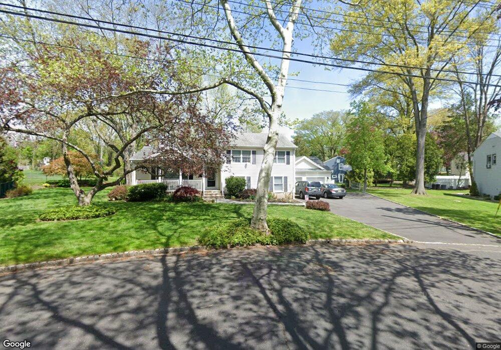
13 Woodbrook Cir Westfield, NJ 07090
Estimated Value: $848,000 - $980,000
--
Bed
--
Bath
2,044
Sq Ft
$457/Sq Ft
Est. Value
About This Home
This home is located at 13 Woodbrook Cir, Westfield, NJ 07090 and is currently estimated at $933,718, approximately $456 per square foot. 13 Woodbrook Cir is a home located in Union County with nearby schools including Washington Elementary School, Edison Intermediate School, and Westfield Senior High School.
Ownership History
Date
Name
Owned For
Owner Type
Purchase Details
Closed on
Dec 30, 1998
Sold by
Brand Owen G and Brand Sherl L
Bought by
Cherrey James A and Cherrey Jill
Current Estimated Value
Home Financials for this Owner
Home Financials are based on the most recent Mortgage that was taken out on this home.
Original Mortgage
$200,000
Outstanding Balance
$46,029
Interest Rate
6.67%
Estimated Equity
$887,689
Create a Home Valuation Report for This Property
The Home Valuation Report is an in-depth analysis detailing your home's value as well as a comparison with similar homes in the area
Home Values in the Area
Average Home Value in this Area
Purchase History
| Date | Buyer | Sale Price | Title Company |
|---|---|---|---|
| Cherrey James A | $250,000 | -- |
Source: Public Records
Mortgage History
| Date | Status | Borrower | Loan Amount |
|---|---|---|---|
| Open | Cherrey James A | $200,000 |
Source: Public Records
Tax History Compared to Growth
Tax History
| Year | Tax Paid | Tax Assessment Tax Assessment Total Assessment is a certain percentage of the fair market value that is determined by local assessors to be the total taxable value of land and additions on the property. | Land | Improvement |
|---|---|---|---|---|
| 2025 | $14,480 | $643,000 | $470,900 | $172,100 |
| 2024 | $14,185 | $643,000 | $470,900 | $172,100 |
| 2023 | $14,185 | $643,000 | $470,900 | $172,100 |
| 2022 | $13,889 | $643,000 | $470,900 | $172,100 |
| 2021 | $13,908 | $643,000 | $470,900 | $172,100 |
| 2020 | $13,876 | $643,000 | $470,900 | $172,100 |
| 2019 | $13,825 | $643,000 | $470,900 | $172,100 |
| 2018 | $14,113 | $151,800 | $64,300 | $87,500 |
| 2017 | $14,035 | $151,800 | $64,300 | $87,500 |
| 2016 | $13,706 | $151,800 | $64,300 | $87,500 |
| 2015 | $13,433 | $151,800 | $64,300 | $87,500 |
| 2014 | $12,990 | $151,800 | $64,300 | $87,500 |
Source: Public Records
Map
Nearby Homes
- 58 Sandra Cir Unit B-3
- 41 C Sandra Cir Unit C3
- 5 Penn Rd
- 128 Woodland Ave
- 1806 Park Place
- 403 Park Place
- 2 Brown Terrace
- 203 Beech St
- 3211 Park Place
- 684 Gallows Hill Rd
- 820 E Broad St
- 89 Glenwood Rd
- 131 Wells St
- 806 Saint Marks Ave
- 33 Park Dr
- 764 Fairacres Ave
- 223 5th Ave
- 4 Cedar St
- 35 Sherwood Rd
- 112 Linden Ave
- 11 Woodbrook Cir
- 299 Springfield Ave
- 45 Michael Dr
- 14 Woodbrook Cir
- 277 Springfield Ave
- 319 Springfield Ave
- 17 Woodbrook Cir
- 9 Woodbrook Cir
- 16 Woodbrook Cir
- 323 Springfield Ave
- 9 Drummond Rd
- 265 Springfield Ave
- 47 Michael Dr
- 7 Drummond Rd
- 327 Springfield Ave
- 290 Springfield Ave
- 7 Woodbrook Cir
- 19 Woodbrook Cir
- 20 Woodbrook Cir
- 5 Drummond Rd