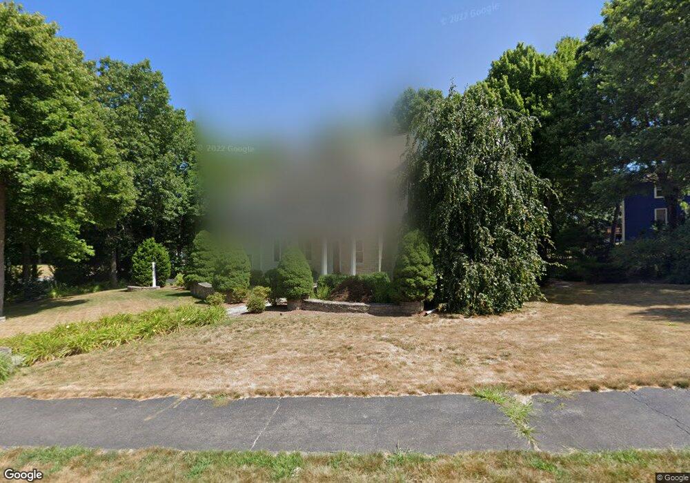
13 Woodcrest Rd Westborough, MA 01581
Estimated Value: $1,378,000 - $1,433,000
4
Beds
5
Baths
4,095
Sq Ft
$341/Sq Ft
Est. Value
About This Home
This home is located at 13 Woodcrest Rd, Westborough, MA 01581 and is currently estimated at $1,397,246, approximately $341 per square foot. 13 Woodcrest Rd is a home located in Worcester County with nearby schools including Westborough High School, Ebridge Montessori School, and Westboro Knowledge Beginnings.
Ownership History
Date
Name
Owned For
Owner Type
Purchase Details
Closed on
May 15, 2001
Sold by
Penta Deborah A
Bought by
Drotch Paul S and Drotch Amy K
Current Estimated Value
Purchase Details
Closed on
Apr 30, 1996
Sold by
Parvizi Azar
Bought by
Penta Deborah
Purchase Details
Closed on
Apr 4, 1990
Sold by
Stuart Arthur
Bought by
Parvizi Sadraddin
Create a Home Valuation Report for This Property
The Home Valuation Report is an in-depth analysis detailing your home's value as well as a comparison with similar homes in the area
Home Values in the Area
Average Home Value in this Area
Purchase History
| Date | Buyer | Sale Price | Title Company |
|---|---|---|---|
| Drotch Paul S | $740,000 | -- | |
| Penta Deborah | $365,000 | -- | |
| Parvizi Sadraddin | $130,000 | -- | |
| Parvizi Sadraddin | $130,000 | -- |
Source: Public Records
Mortgage History
| Date | Status | Borrower | Loan Amount |
|---|---|---|---|
| Open | Parvizi Sadraddin | $417,000 | |
| Closed | Parvizi Sadraddin | $417,000 |
Source: Public Records
Tax History Compared to Growth
Tax History
| Year | Tax Paid | Tax Assessment Tax Assessment Total Assessment is a certain percentage of the fair market value that is determined by local assessors to be the total taxable value of land and additions on the property. | Land | Improvement |
|---|---|---|---|---|
| 2025 | $17,543 | $1,076,900 | $358,800 | $718,100 |
| 2024 | $16,584 | $1,010,600 | $341,600 | $669,000 |
| 2023 | $15,707 | $932,700 | $322,200 | $610,500 |
| 2022 | $14,685 | $794,200 | $256,700 | $537,500 |
| 2021 | $3,038 | $783,800 | $246,300 | $537,500 |
| 2020 | $2,842 | $786,600 | $260,700 | $525,900 |
| 2019 | $2,705 | $766,400 | $256,600 | $509,800 |
| 2018 | $2,667 | $706,400 | $246,300 | $460,100 |
| 2017 | $12,574 | $706,400 | $246,300 | $460,100 |
| 2016 | $12,610 | $709,600 | $246,300 | $463,300 |
| 2015 | $12,180 | $655,200 | $217,600 | $437,600 |
Source: Public Records
Map
Nearby Homes