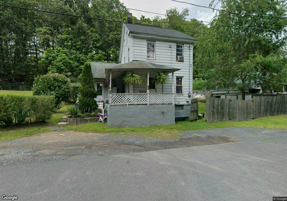
13 Woodland Heights Ashland, PA 17921
Estimated Value: $57,321 - $104,000
3
Beds
1
Bath
1,064
Sq Ft
$72/Sq Ft
Est. Value
About This Home
This home is located at 13 Woodland Heights, Ashland, PA 17921 and is currently estimated at $77,080, approximately $72 per square foot. 13 Woodland Heights is a home located in Schuylkill County with nearby schools including North Schuylkill Elementary School and North Schuylkill Junior/Senior High School.
Ownership History
Date
Name
Owned For
Owner Type
Purchase Details
Closed on
Apr 23, 2021
Sold by
Dwyer James M
Bought by
Dwyer James M
Current Estimated Value
Purchase Details
Closed on
Jan 6, 2007
Sold by
Wesner Kenneth and Wesner Maryanne
Bought by
Dwyer James M and Dwyer Elene R
Home Financials for this Owner
Home Financials are based on the most recent Mortgage that was taken out on this home.
Original Mortgage
$20,800
Interest Rate
6.18%
Mortgage Type
New Conventional
Create a Home Valuation Report for This Property
The Home Valuation Report is an in-depth analysis detailing your home's value as well as a comparison with similar homes in the area
Home Values in the Area
Average Home Value in this Area
Purchase History
| Date | Buyer | Sale Price | Title Company |
|---|---|---|---|
| Dwyer James M | -- | None Available | |
| Dwyer James M | $26,000 | None Available |
Source: Public Records
Mortgage History
| Date | Status | Borrower | Loan Amount |
|---|---|---|---|
| Closed | Dwyer James M | $20,800 |
Source: Public Records
Tax History Compared to Growth
Tax History
| Year | Tax Paid | Tax Assessment Tax Assessment Total Assessment is a certain percentage of the fair market value that is determined by local assessors to be the total taxable value of land and additions on the property. | Land | Improvement |
|---|---|---|---|---|
| 2025 | $519 | $6,685 | $1,150 | $5,535 |
| 2024 | $487 | $6,685 | $1,150 | $5,535 |
| 2023 | $487 | $6,685 | $1,150 | $5,535 |
| 2022 | $476 | $6,685 | $1,150 | $5,535 |
| 2021 | $470 | $6,685 | $1,150 | $5,535 |
| 2020 | $461 | $6,685 | $1,150 | $5,535 |
| 2018 | $445 | $6,685 | $1,150 | $5,535 |
| 2017 | $434 | $6,685 | $1,150 | $5,535 |
| 2015 | -- | $6,685 | $1,150 | $5,535 |
| 2011 | -- | $6,685 | $0 | $0 |
Source: Public Records
Map
Nearby Homes
- 356 Oakland Ave
- 107 W Centre St
- New Yorker Plan at Laurel Street
- Michigan Plan at Laurel Street
- Iowa Plan at Laurel Street
- Stafford Plan at Laurel Street
- Andrew II Plan at Laurel Street
- San Diego Plan at Laurel Street
- 105 Laurel St
- 365 Preston Ave
- 230 Chestnut St
- 235 Chestnut St
- 346 W Main St
- 8 N Hoffman Blvd
- 322 W Main St
- 330 Centre St
- 401 Walnut St
- 426 Centre St
- 128 Preston Ave
- 630 S Hoffman Blvd
- 11 Woodland Heights
- 15 Woodland Heights
- 16 Woodland Heights
- 9 Woodland Heights
- 17 Woodland Heights
- 17 Woodland Heights
- 6 Woodland Heights
- 5 Woodland Heights
- 4 Woodland Heights
- 681 Big Mine Run Rd
- 3 Woodland Heights
- 677 Big Mine Run Rd
- 2 Woodland Heights
- 1 Woodland Heights
- 669 Big Mine Run Rd
- 669 Big Mine Run Rd
- 540 E Centre St
- 661 Big Mine Run Rd
- 29 Bast Ave
- 27 Bast Ave