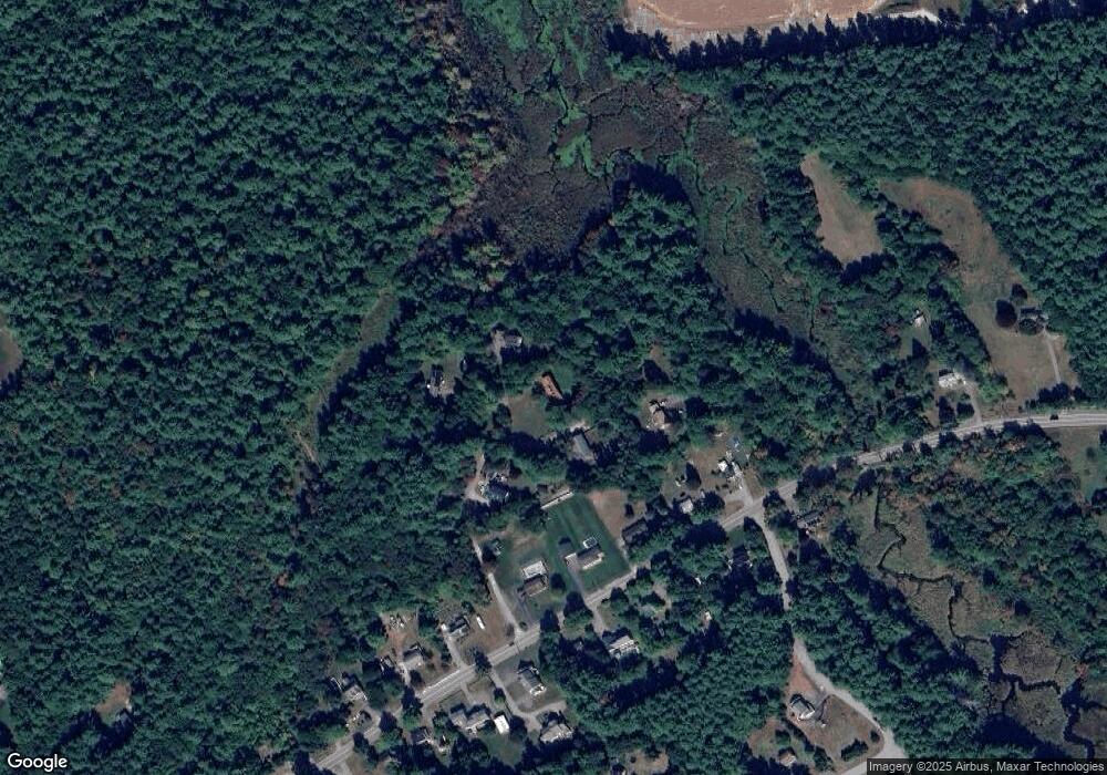
130 1/2 Lowell Rd Pepperell, MA 01463
Estimated Value: $536,000 - $672,000
3
Beds
2
Baths
2,033
Sq Ft
$300/Sq Ft
Est. Value
About This Home
This home is located at 130 1/2 Lowell Rd, Pepperell, MA 01463 and is currently estimated at $610,579, approximately $300 per square foot. 130 1/2 Lowell Rd is a home located in Middlesex County with nearby schools including North Middlesex Regional High School, Pepperell Christian Academy, and Maple Dene & Moppet School.
Ownership History
Date
Name
Owned For
Owner Type
Purchase Details
Closed on
Sep 30, 1987
Sold by
Nylander Alison J
Bought by
Walton Thomas C
Current Estimated Value
Home Financials for this Owner
Home Financials are based on the most recent Mortgage that was taken out on this home.
Original Mortgage
$175,000
Interest Rate
10.31%
Mortgage Type
Purchase Money Mortgage
Create a Home Valuation Report for This Property
The Home Valuation Report is an in-depth analysis detailing your home's value as well as a comparison with similar homes in the area
Home Values in the Area
Average Home Value in this Area
Purchase History
| Date | Buyer | Sale Price | Title Company |
|---|---|---|---|
| Walton Thomas C | $197,000 | -- |
Source: Public Records
Mortgage History
| Date | Status | Borrower | Loan Amount |
|---|---|---|---|
| Closed | Walton Thomas C | $175,000 |
Source: Public Records
Tax History Compared to Growth
Tax History
| Year | Tax Paid | Tax Assessment Tax Assessment Total Assessment is a certain percentage of the fair market value that is determined by local assessors to be the total taxable value of land and additions on the property. | Land | Improvement |
|---|---|---|---|---|
| 2025 | $6,607 | $451,600 | $205,100 | $246,500 |
| 2024 | $6,238 | $434,700 | $188,200 | $246,500 |
| 2023 | $5,926 | $391,400 | $161,600 | $229,800 |
| 2022 | $5,738 | $334,600 | $127,700 | $206,900 |
| 2021 | $5,665 | $316,100 | $112,500 | $203,600 |
| 2020 | $5,427 | $319,600 | $112,500 | $207,100 |
| 2019 | $4,795 | $289,000 | $112,500 | $176,500 |
| 2018 | $4,561 | $278,300 | $112,500 | $165,800 |
| 2017 | $4,365 | $274,700 | $104,900 | $169,800 |
| 2016 | $4,222 | $255,400 | $104,900 | $150,500 |
| 2015 | $4,074 | $255,400 | $104,900 | $150,500 |
| 2014 | $4,127 | $260,200 | $112,500 | $147,700 |
Source: Public Records
Map
Nearby Homes
- 8 Jamie Rd
- 452 River St
- 5 June St
- 208 North St
- 46 Lowell Rd
- 23 Shawnee Rd Unit 23
- 38 Tarbell St Unit 5B
- 80A Nashua Rd
- 9 Tarbell St
- 139 Nashua Rd
- 319 Pleasant St
- 28-30 Groton St
- 31 Prospect St
- 147 Nashua Rd
- 573 Longley Rd
- 4 Parker Hill Way Unit C
- 170 Nashua Rd
- 10 Tucker St
- 153 Off Pond St
- 24-A 34-A Dow St
- 6 Minigel Cir
- 130 Lowell Rd
- 5 Minigel Cir
- 128 1/2 Lowell Rd
- 5 Vesbard Ln
- 2 Minigel Cir
- 4 Minigel Cir
- 15 Bacon St
- 3 Minigel Cir
- 132 1/2 Lowell Rd
- 19 Bacon St
- 136 Lowell Rd
- 134 Lowell Rd
- 138 Lowell Rd
- 138 Lowell Rd Unit 1
- 140 1/4 Lowell Rd
- 128 Lowell Rd
- 140 1/2 Lowell Rd
- 122 1/2 Lowell Rd
- 140-1/2 Lowell Rd
