Estimated Value: $238,000 - $314,114
--
Bed
2
Baths
2,817
Sq Ft
$101/Sq Ft
Est. Value
About This Home
This home is located at 130 Adams St, Jesup, GA 31545 and is currently estimated at $283,279, approximately $100 per square foot. 130 Adams St is a home located in Wayne County with nearby schools including Martha Rawls Smith Elementary School, Arthur Williams Middle School, and Wayne County High School.
Ownership History
Date
Name
Owned For
Owner Type
Purchase Details
Closed on
Jun 1, 2000
Sold by
Clark James B and Clark Patricia
Bought by
Clark Bart M
Current Estimated Value
Purchase Details
Closed on
Feb 1, 1993
Purchase Details
Closed on
May 1, 1978
Purchase Details
Closed on
Oct 1, 1977
Purchase Details
Closed on
Feb 1, 1974
Purchase Details
Closed on
Aug 1, 1971
Create a Home Valuation Report for This Property
The Home Valuation Report is an in-depth analysis detailing your home's value as well as a comparison with similar homes in the area
Home Values in the Area
Average Home Value in this Area
Purchase History
| Date | Buyer | Sale Price | Title Company |
|---|---|---|---|
| Clark Bart M | $6,000 | -- | |
| -- | $62,000 | -- | |
| Clark James B | -- | -- | |
| -- | -- | -- | |
| -- | -- | -- | |
| -- | -- | -- | |
| -- | -- | -- |
Source: Public Records
Tax History Compared to Growth
Tax History
| Year | Tax Paid | Tax Assessment Tax Assessment Total Assessment is a certain percentage of the fair market value that is determined by local assessors to be the total taxable value of land and additions on the property. | Land | Improvement |
|---|---|---|---|---|
| 2024 | $2,940 | $115,968 | $9,520 | $106,448 |
| 2023 | $2,999 | $99,964 | $6,170 | $93,794 |
| 2022 | $2,432 | $82,250 | $6,170 | $76,080 |
| 2021 | $2,155 | $68,916 | $6,170 | $62,746 |
| 2020 | $2,196 | $67,944 | $5,198 | $62,746 |
| 2019 | $2,261 | $67,944 | $5,198 | $62,746 |
| 2018 | $2,261 | $67,944 | $5,198 | $62,746 |
| 2017 | $1,946 | $67,944 | $5,198 | $62,746 |
| 2016 | $1,883 | $67,944 | $5,198 | $62,746 |
| 2014 | $1,889 | $67,944 | $5,198 | $62,746 |
| 2013 | -- | $67,943 | $5,198 | $62,745 |
Source: Public Records
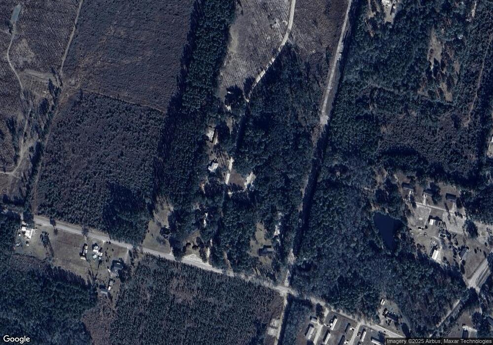
Map
Nearby Homes
- 105 N Bay St
- 00 Dogwood Extension
- 0 Oak St
- 1270 Oak St
- 0 Aspen Rd
- 0 Shrine Club Rd Unit 163602
- 2606 Beechwood Dr
- 1 Altamaha Rd
- 2636 Beechwood Dr
- 24 Sangster Rd
- 50 Sangster Rd
- 2 Rayonier Rd
- 3 Rayonier Rd
- 1 Rayonier Rd
- 2 Altamaha Rd
- 369 E Shellcracker Rd
- 629 Sierra Rd
- 80 Snapper Rd
- 141 Nichols Rd
- 888 Altamaha Rd
- 82 Jerold Jones Dr
- 142 Adams St
- 207 Adams St
- 165 Adams St
- 39 Adams St
- 670 Anderson Dr
- 220 Catfish Dr
- 800 Anderson Dr
- 162 Catfish Dr
- 000 Adams St
- 891 Anderson Dr
- 132 Catfish Dr
- 405 Adams St
- 102 Catfish Dr
- 73 Catfish Dr
- 500 Anderson Dr
- 43 Catfish Dr
- 33 Dogwood Extension
- 23 Catfish Dr
- 181 Dogwood Extension