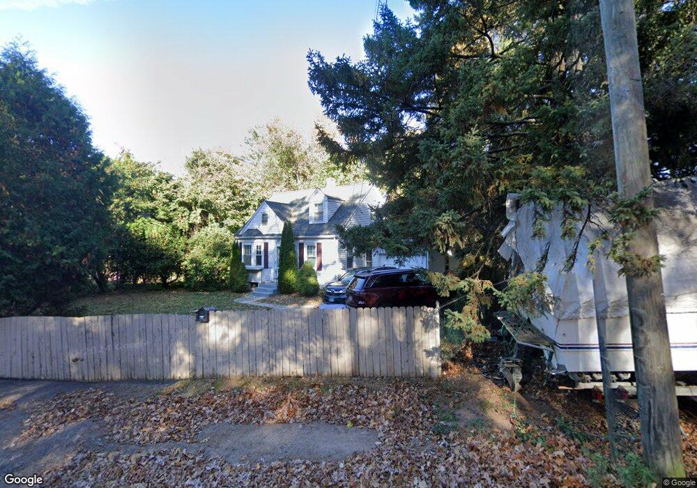
130 Blake Rd New Britain, CT 06053
Estimated Value: $198,000 - $277,000
2
Beds
2
Baths
1,056
Sq Ft
$240/Sq Ft
Est. Value
About This Home
This home is located at 130 Blake Rd, New Britain, CT 06053 and is currently estimated at $253,123, approximately $239 per square foot. 130 Blake Rd is a home located in Hartford County with nearby schools including Holmes School, Pulaski Middle School, and Mountain Laurel Sudbury School.
Ownership History
Date
Name
Owned For
Owner Type
Purchase Details
Closed on
Jun 1, 2001
Sold by
Smith Irene W and Ratterman Joanna
Bought by
Markowski Violet
Current Estimated Value
Create a Home Valuation Report for This Property
The Home Valuation Report is an in-depth analysis detailing your home's value as well as a comparison with similar homes in the area
Home Values in the Area
Average Home Value in this Area
Purchase History
| Date | Buyer | Sale Price | Title Company |
|---|---|---|---|
| Markowski Violet | $80,000 | -- |
Source: Public Records
Mortgage History
| Date | Status | Borrower | Loan Amount |
|---|---|---|---|
| Open | Markowski Violet | $80,000 | |
| Closed | Markowski Violet | $30,000 | |
| Closed | Markowski Violet | $55,000 | |
| Closed | Markowski Violet | $40,000 |
Source: Public Records
Tax History
| Year | Tax Paid | Tax Assessment Tax Assessment Total Assessment is a certain percentage of the fair market value that is determined by local assessors to be the total taxable value of land and additions on the property. | Land | Improvement |
|---|---|---|---|---|
| 2025 | $4,871 | $124,320 | $61,600 | $62,720 |
| 2024 | $4,922 | $124,320 | $61,600 | $62,720 |
| 2023 | $4,759 | $124,320 | $61,600 | $62,720 |
| 2022 | $3,957 | $79,940 | $28,420 | $51,520 |
| 2021 | $3,957 | $79,940 | $28,420 | $51,520 |
| 2020 | $4,037 | $79,940 | $28,420 | $51,520 |
| 2019 | $4,037 | $79,940 | $28,420 | $51,520 |
| 2018 | $4,037 | $79,940 | $28,420 | $51,520 |
| 2017 | $3,701 | $73,290 | $25,900 | $47,390 |
| 2016 | $3,701 | $73,290 | $25,900 | $47,390 |
| 2015 | $3,591 | $73,290 | $25,900 | $47,390 |
| 2014 | $3,591 | $73,290 | $25,900 | $47,390 |
Source: Public Records
Map
Nearby Homes
- 432 Mcclintock St
- 24 Pentlow Ave
- 678 Farmington Ave
- 40 Hutchinson St
- 2415 Corbin Ave
- 482 Commonwealth Ave
- 21 Skipper St
- 23 Lewis Rd
- 234 Pierremount Ave
- 14 Acton St
- 182 Francis St
- 53 Park Dr
- 154 Allen St
- 57 Merigold Dr
- 1634 Stanley St
- 55 Allen St
- 131 Pendleton Rd
- 39 Pendleton Rd
- 4 Brown St
- 45 Atlantic St Unit C
- 122 Blake Rd
- 138 Blake Rd
- 114 Blake Rd
- 143 Carroll St
- 137 Carroll St
- 149 Carroll St
- 131 Carroll St
- 125 Carroll St
- 104 Blake Rd
- 119 Carroll St
- 33 Kim Dr
- 33 Kim Dr Unit 2nd floor
- 33 Kim Dr Unit Holly
- 160 Blake Rd
- 113 Carroll St
- 107 Carroll St
- 101 Carroll St
- 144 Carroll St
- 510 Mcclintock St
- 138 Carroll St
Your Personal Tour Guide
Ask me questions while you tour the home.