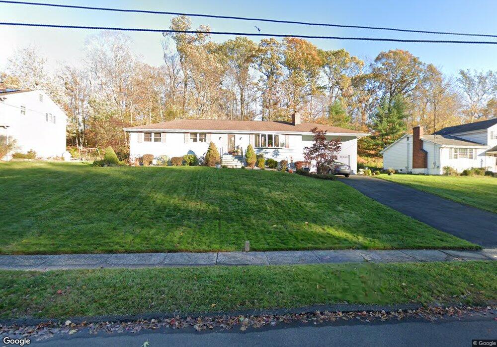
130 Braeside Dr Hamden, CT 06514
Estimated Value: $367,375 - $436,000
3
Beds
1
Bath
1,512
Sq Ft
$258/Sq Ft
Est. Value
About This Home
This home is located at 130 Braeside Dr, Hamden, CT 06514 and is currently estimated at $390,344, approximately $258 per square foot. 130 Braeside Dr is a home located in New Haven County with nearby schools including Hamden Middle School, Hamden High School, and Laurel Oaks Adventist School.
Ownership History
Date
Name
Owned For
Owner Type
Purchase Details
Closed on
Nov 17, 2003
Sold by
Paul E Whitaker Cons and Szalecki Eva
Bought by
Grasty Anthony and Grasty Pia
Current Estimated Value
Home Financials for this Owner
Home Financials are based on the most recent Mortgage that was taken out on this home.
Original Mortgage
$168,000
Interest Rate
5.81%
Create a Home Valuation Report for This Property
The Home Valuation Report is an in-depth analysis detailing your home's value as well as a comparison with similar homes in the area
Home Values in the Area
Average Home Value in this Area
Purchase History
| Date | Buyer | Sale Price | Title Company |
|---|---|---|---|
| Grasty Anthony | $210,000 | -- |
Source: Public Records
Mortgage History
| Date | Status | Borrower | Loan Amount |
|---|---|---|---|
| Closed | Grasty Anthony | $188,000 | |
| Closed | Grasty Anthony | $168,000 |
Source: Public Records
Tax History Compared to Growth
Tax History
| Year | Tax Paid | Tax Assessment Tax Assessment Total Assessment is a certain percentage of the fair market value that is determined by local assessors to be the total taxable value of land and additions on the property. | Land | Improvement |
|---|---|---|---|---|
| 2024 | $8,268 | $148,680 | $42,420 | $106,260 |
| 2023 | $8,383 | $148,680 | $42,420 | $106,260 |
| 2022 | $8,249 | $148,680 | $42,420 | $106,260 |
| 2021 | $7,797 | $148,680 | $42,420 | $106,260 |
| 2020 | $7,707 | $148,260 | $73,920 | $74,340 |
| 2019 | $7,244 | $148,260 | $73,920 | $74,340 |
| 2018 | $7,111 | $148,260 | $73,920 | $74,340 |
| 2017 | $6,710 | $148,260 | $73,920 | $74,340 |
| 2016 | $6,725 | $148,260 | $73,920 | $74,340 |
| 2015 | $7,069 | $172,970 | $82,110 | $90,860 |
| 2014 | $6,907 | $172,970 | $82,110 | $90,860 |
Source: Public Records
Map
Nearby Homes
- 435 Shepard Ave
- 69 Rentell Rd
- 35 Sherman Ln Unit C4
- 175 Colony St
- 155 Colony St
- 136 Shepard Ave Unit 136
- 900 Mix Ave Unit 36
- 900 Mix Ave Unit 109
- 900 Mix Ave Unit 10
- 900 Mix Ave Unit 23
- 1145 Sherman Ave
- 92 Shepards Knoll Dr Unit 92
- 89 Bear Path Rd
- 115 Earl Ave
- 785 Paradise Ave
- 33 Evergreen Ave
- 306 Forest Street Extension
- 147 Centerbrook Rd
- 585 Paradise Ave
- 181 Towne House Rd Unit 181