130 Broker Rd Douglas, GA 31535
Estimated Value: $95,000 - $133,000
--
Bed
--
Bath
--
Sq Ft
5.91
Acres
About This Home
This home is located at 130 Broker Rd, Douglas, GA 31535 and is currently estimated at $115,288. 130 Broker Rd is a home with nearby schools including Ambrose Elementary School, Coffee Middle School, and Coffee County High School.
Ownership History
Date
Name
Owned For
Owner Type
Purchase Details
Closed on
Jan 31, 2020
Sold by
Beesley W Hampton
Bought by
Manning Tanisha
Current Estimated Value
Purchase Details
Closed on
Jun 30, 2017
Sold by
Not Provided
Bought by
Walsh Caleb Trustee and Coffee Community Trust Land Tr
Home Financials for this Owner
Home Financials are based on the most recent Mortgage that was taken out on this home.
Original Mortgage
$1,475,000
Interest Rate
3.94%
Mortgage Type
New Conventional
Purchase Details
Closed on
Jun 1, 2017
Sold by
Michael H
Bought by
Beesley W Hampton and Beesley Cherokee Carswell
Home Financials for this Owner
Home Financials are based on the most recent Mortgage that was taken out on this home.
Original Mortgage
$1,475,000
Interest Rate
3.94%
Mortgage Type
New Conventional
Purchase Details
Closed on
May 20, 2011
Sold by
Hobbs Michael H
Bought by
Harrison Sonya
Create a Home Valuation Report for This Property
The Home Valuation Report is an in-depth analysis detailing your home's value as well as a comparison with similar homes in the area
Home Values in the Area
Average Home Value in this Area
Purchase History
| Date | Buyer | Sale Price | Title Company |
|---|---|---|---|
| Manning Tanisha | $16,500 | -- | |
| Walsh Caleb Trustee | $1,720,000 | -- | |
| Beesley W Hampton | $449,424 | -- | |
| Harrison Sonya | $10,000 | -- |
Source: Public Records
Mortgage History
| Date | Status | Borrower | Loan Amount |
|---|---|---|---|
| Previous Owner | Walsh Caleb Trustee | $1,475,000 |
Source: Public Records
Tax History Compared to Growth
Tax History
| Year | Tax Paid | Tax Assessment Tax Assessment Total Assessment is a certain percentage of the fair market value that is determined by local assessors to be the total taxable value of land and additions on the property. | Land | Improvement |
|---|---|---|---|---|
| 2024 | $439 | $19,834 | $8,274 | $11,560 |
| 2023 | $760 | $34,324 | $22,764 | $11,560 |
| 2022 | $833 | $34,324 | $22,764 | $11,560 |
| 2021 | $833 | $34,324 | $22,764 | $11,560 |
| 2020 | $804 | $33,124 | $22,764 | $10,360 |
| 2019 | $804 | $33,124 | $22,764 | $10,360 |
| 2018 | $805 | $33,124 | $22,764 | $10,360 |
| 2017 | $807 | $33,124 | $22,764 | $10,360 |
| 2016 | $808 | $33,124 | $22,764 | $10,360 |
Source: Public Records
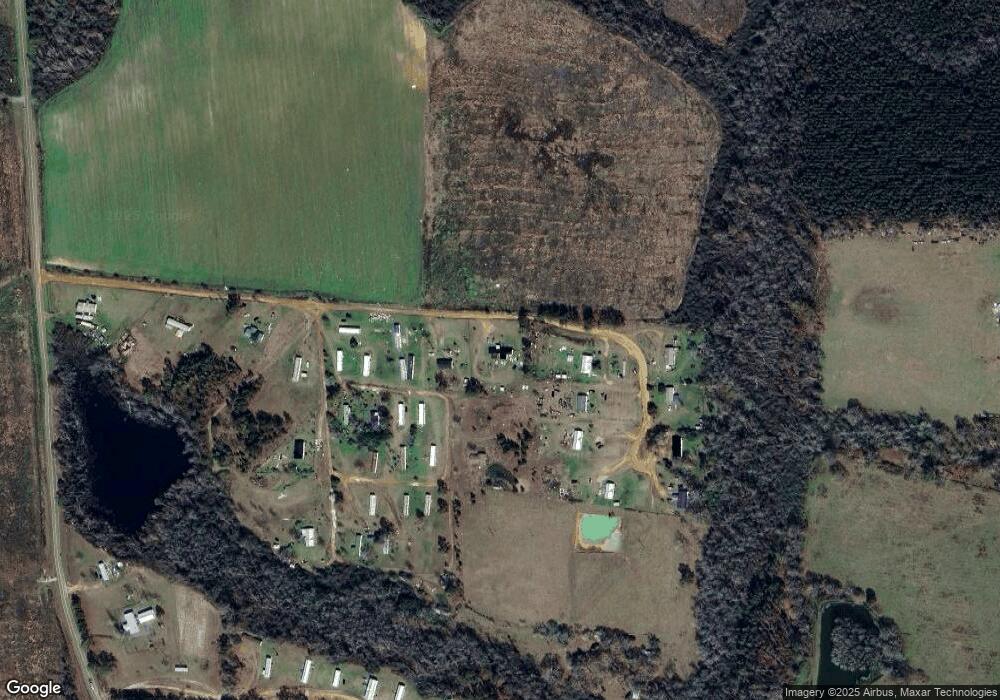
Map
Nearby Homes
- 423 Fort Valley Rd
- 116 Reedy Creek Rd
- 243 Gracie Ln
- 323 Eastman Paulk Rd
- 1671 Warren Carter Rd
- 00 Ambrose Rd
- 53 Suffolk Ln
- 00 Rocky Pond Rd
- 17 Dime St
- 68 Victory Dr
- 316 Kathy Cir
- 126 Oscar Patton Estates
- 2022 Georgia 32
- 310 Dogwood Ave
- 674 Forest Hills Dr
- 2004 Indian Trail
- 55 Palm Dr
- 1320 W Ocilla Hwy ( Hwy 32 West)
- 943 Basswood Rd
- 1809 Coffee Rd
- 176 Maple Ln
- 250 Maple Ln
- 272 Maple Ln
- 279 Maple Ln
- 160 Broker Rd
- 234 Broker Rd
- 266 Broker Rd
- 1501 Donnie Harper Rd
- 93 Newkirk Ln
- 1551 Donnie Harper Rd
- 278 Broker Rd
- 207 Broker Rd
- 235 Broker Rd
- 267 Broker Rd
- 281 Broker Rd
- 1609 Donnie Harper Rd
- 1110 Donnie Harper Rd
- 1186 Donnie Harper Rd
- 221 Newkirk Ln
- 1090 Donnie Harper Rd