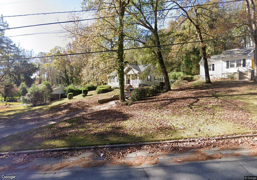
130 Brookside Dr Elberton, GA 30635
Estimated Value: $199,922 - $235,000
Studio
1
Bath
2,212
Sq Ft
$99/Sq Ft
Est. Value
About This Home
This home is located at 130 Brookside Dr, Elberton, GA 30635 and is currently estimated at $218,981, approximately $98 per square foot. 130 Brookside Dr is a home located in Elbert County with nearby schools including Elbert County Primary School, Elbert County Elementary School, and Elbert County Middle School.
Ownership History
Date
Name
Owned For
Owner Type
Purchase Details
Closed on
Oct 17, 2003
Sold by
Baston Bobby L and Baston Britley
Bought by
Strong Spencer
Current Estimated Value
Purchase Details
Closed on
Jan 1, 1998
Purchase Details
Closed on
Aug 1, 1992
Purchase Details
Closed on
Dec 1, 1989
Purchase Details
Closed on
May 1, 1977
Purchase Details
Closed on
Sep 1, 1975
Create a Home Valuation Report for This Property
The Home Valuation Report is an in-depth analysis detailing your home's value as well as a comparison with similar homes in the area
Home Values in the Area
Average Home Value in this Area
Purchase History
| Date | Buyer | Sale Price | Title Company |
|---|---|---|---|
| Strong Spencer | $113,000 | -- | |
| -- | $72,000 | -- | |
| -- | $63,500 | -- | |
| -- | $56,500 | -- | |
| -- | $30,800 | -- | |
| -- | $29,500 | -- |
Source: Public Records
Tax History
| Year | Tax Paid | Tax Assessment Tax Assessment Total Assessment is a certain percentage of the fair market value that is determined by local assessors to be the total taxable value of land and additions on the property. | Land | Improvement |
|---|---|---|---|---|
| 2025 | $1,756 | $78,519 | $12,930 | $65,589 |
| 2024 | $1,722 | $71,974 | $11,243 | $60,731 |
| 2023 | $1,279 | $71,974 | $11,243 | $60,731 |
| 2022 | $1,244 | $52,551 | $11,243 | $41,308 |
| 2021 | $1,253 | $52,551 | $11,243 | $41,308 |
| 2020 | $1,109 | $42,203 | $11,243 | $30,960 |
| 2019 | $1,145 | $42,203 | $11,243 | $30,960 |
| 2018 | $1,170 | $42,203 | $11,243 | $30,960 |
| 2017 | $1,184 | $39,672 | $11,243 | $28,429 |
| 2016 | $1,106 | $39,672 | $11,243 | $28,429 |
| 2015 | -- | $39,672 | $11,243 | $28,429 |
| 2014 | -- | $39,672 | $11,243 | $28,429 |
| 2013 | -- | $40,850 | $11,243 | $29,606 |
Source: Public Records
Map
Nearby Homes
- 135 Brookside Dr
- 122 Parkwood Dr
- 334 Heard St
- 181 Brookside Dr
- 151 S Tusten St
- 120 S Tusten St
- 253 Edwards St
- 252 Edwards St
- 139 Myrtle St
- 214 Campbell St
- 222 E Church St
- 131 S Thomas St
- 105 S Thomas St
- 141 Wildwood Dr
- 173 S Thomas St
- 201 Snyder Ave
- 1025 Evergreen Dr
- 844 Sherwood Dr
- 164 S Mcintosh St
- 968 Ext Elbert St
- 126 Brookside Dr
- 132 Brookside Dr
- 150 Brookside Dr
- 124 Brookside Dr
- 152 Brookside Dr
- 127 Brookside Dr
- 122 Brookside Dr
- 141 Springdale Rd
- 149 Springdale Rd
- 2 Woodland Rd
- 149 Brookside Dr
- 147 Springdale Rd
- 135 Springdale Rd
- 165 Springdale Rd
- 155 Brookside Dr
- 116 Brookside Dr
- 522 Woodland Rd
- 386 E Church St
- 167 Springdale Rd
- 129 Springdale Rd
Your Personal Tour Guide
Ask me questions while you tour the home.