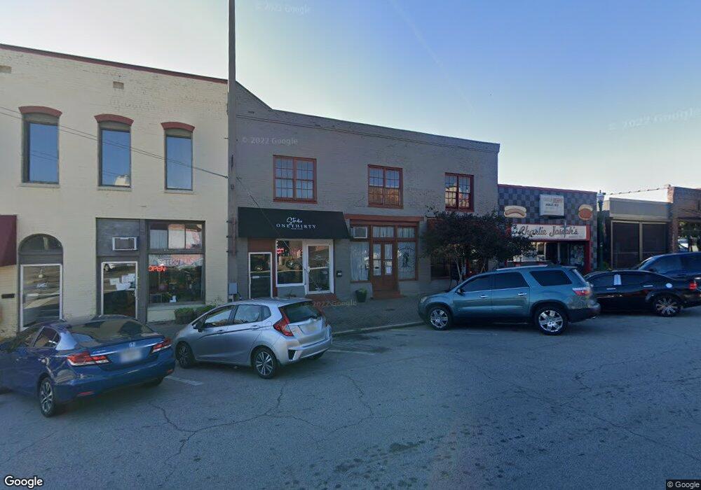
130 Bull St Unit 130A Lagrange, GA 30240
--
Bed
1
Bath
9,452
Sq Ft
0.26
Acres
About This Home
This home is located at 130 Bull St Unit 130A, Lagrange, GA 30240. 130 Bull St Unit 130A is a home located in Troup County with nearby schools including Hollis Hand Elementary School, Ethel W. Kight Elementary School, and Franklin Forest Elementary School.
Ownership History
Date
Name
Owned For
Owner Type
Purchase Details
Closed on
Jun 29, 2011
Sold by
Commercial Bank
Bought by
Blue Tree Holdings Llc
Purchase Details
Closed on
Mar 24, 2011
Sold by
Commercial Bank
Bought by
Callaway Foundation Inc
Purchase Details
Closed on
Nov 15, 2004
Sold by
Kenneth C Joseph Keeth
Bought by
Mansour Realty Co Inc
Purchase Details
Closed on
Feb 11, 1997
Sold by
Wilcox Estate
Bought by
Kenneth C Joseph Keeth
Purchase Details
Closed on
Dec 19, 1979
Sold by
Isabelle Morgan Curry
Bought by
Wilcox Estate
Purchase Details
Closed on
Nov 1, 1909
Bought by
Isabelle Morgan Curry
Create a Home Valuation Report for This Property
The Home Valuation Report is an in-depth analysis detailing your home's value as well as a comparison with similar homes in the area
Home Values in the Area
Average Home Value in this Area
Purchase History
| Date | Buyer | Sale Price | Title Company |
|---|---|---|---|
| Blue Tree Holdings Llc | $205,000 | -- | |
| Callaway Foundation Inc | $40,000 | -- | |
| Callaway Foundation Inc | $40,000 | -- | |
| Mansour Realty Co Inc | $475,000 | -- | |
| Kenneth C Joseph Keeth | $180,000 | -- | |
| Wilcox Estate | -- | -- | |
| Isabelle Morgan Curry | -- | -- |
Source: Public Records
Tax History Compared to Growth
Tax History
| Year | Tax Paid | Tax Assessment Tax Assessment Total Assessment is a certain percentage of the fair market value that is determined by local assessors to be the total taxable value of land and additions on the property. | Land | Improvement |
|---|---|---|---|---|
| 2024 | $10,201 | $326,200 | $99,960 | $226,240 |
| 2023 | $6,117 | $195,600 | $99,960 | $95,640 |
| 2022 | $6,242 | $195,600 | $99,960 | $95,640 |
| 2021 | $5,065 | $148,280 | $83,280 | $65,000 |
| 2020 | $5,065 | $148,280 | $83,280 | $65,000 |
| 2019 | $4,744 | $138,880 | $83,280 | $55,600 |
| 2018 | $4,744 | $138,880 | $83,280 | $55,600 |
| 2017 | $4,744 | $138,880 | $83,280 | $55,600 |
| 2016 | $4,553 | $133,297 | $88,000 | $45,297 |
| 2015 | $4,400 | $128,607 | $83,310 | $45,297 |
| 2014 | $3,550 | $103,614 | $58,317 | $45,297 |
| 2013 | -- | $145,161 | $83,310 | $61,851 |
Source: Public Records
Map
Nearby Homes
- 206 Broad St
- 101 McGee St
- 505 S Lewis St
- 509 S Lewis St
- 109 Cherry St
- 209 Boulevard
- 206 Peachtree St
- 208 Boulevard
- 408 Gordon St
- 301 E Bacon St
- 203 Fannin St
- 609 Ridley Ave
- 707 Ridley Ave
- 611 Ridley Ave
- 615 Ridley Ave
- 709 Ridley Ave
- 205 Fannin St
- 0 Ridley Ave Unit 10550104
- 207 Wilkes St
- 303 E Mulberry St