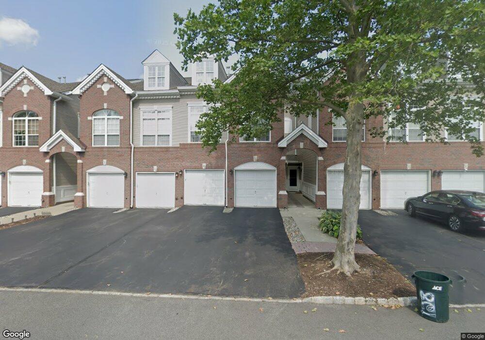
130 Carter Rd Haskell, NJ 07420
Estimated Value: $456,579 - $508,000
Studio
--
Bath
1,639
Sq Ft
$292/Sq Ft
Est. Value
About This Home
This home is located at 130 Carter Rd, Haskell, NJ 07420 and is currently estimated at $478,895, approximately $292 per square foot. 130 Carter Rd is a home located in Passaic County with nearby schools including Lakeland Reg High School and St Marys School.
Ownership History
Date
Name
Owned For
Owner Type
Purchase Details
Closed on
Feb 6, 2005
Sold by
Maggiore Ronald P
Bought by
Kohler Steven
Current Estimated Value
Purchase Details
Closed on
May 29, 2003
Sold by
Powell Ronald
Bought by
Maggiore Ronald
Home Financials for this Owner
Home Financials are based on the most recent Mortgage that was taken out on this home.
Original Mortgage
$266,950
Interest Rate
5.83%
Create a Home Valuation Report for This Property
The Home Valuation Report is an in-depth analysis detailing your home's value as well as a comparison with similar homes in the area
Home Values in the Area
Average Home Value in this Area
Purchase History
| Date | Buyer | Sale Price | Title Company |
|---|---|---|---|
| Kohler Steven | $312,000 | -- | |
| Maggiore Ronald | $281,000 | -- |
Source: Public Records
Mortgage History
| Date | Status | Borrower | Loan Amount |
|---|---|---|---|
| Previous Owner | Maggiore Ronald | $266,950 |
Source: Public Records
Tax History
| Year | Tax Paid | Tax Assessment Tax Assessment Total Assessment is a certain percentage of the fair market value that is determined by local assessors to be the total taxable value of land and additions on the property. | Land | Improvement |
|---|---|---|---|---|
| 2025 | $9,627 | $223,200 | $65,000 | $158,200 |
| 2024 | $9,435 | $223,200 | $65,000 | $158,200 |
Source: Public Records
Map
Nearby Homes
- 19 Dogwood Ln Unit 19
- 19 Dogwood Ln Unit U9F
- 86 Burnside Place
- 23 Dogwood Ln
- 38 Wanaque Ave
- 36 Elston Ct
- 43 Elston Ct Unit 301
- 9116 Warrens Way Unit 116
- 9116 Warrens Way
- 5 Storms Place
- 17 Locust St
- 8212 Warrens Way
- 8415 Warrens Way
- 10323 Warrens Way
- 10123 Warrens Way
- 29 Evergreen Ave
- 7408 Warrens Way Unit TOP FLOOR & DEE
- 7408 Warrens Way
- 7414 Warrens Way Unit 414
- 7414 Warrens Way Unit DEEDED PARKING
- 126 Carter Rd Unit 120
- 126 Carter Rd
- 124 Carter Rd
- 122 Carter Rd Unit D2
- 120 Carter Rd
- 128 Carter Rd
- 116 Carter Rd
- 118 Carter Rd
- 134 Carter Rd
- 132 Carter Rd Unit G1
- 112 Carter Rd
- 114 Carter Rd
- 138 Carter Rd Unit H2
- 136 Carter Rd Unit H1
- 108 Carter Rd Unit A1
- 110 Carter Rd Unit A2
- 142 Carter Rd
- 140 Carter Rd
- 104 Carter Rd Unit H1
- 146 Carter Rd Unit B2
Your Personal Tour Guide
Ask me questions while you tour the home.