130 Cedar Mountain Dr Weatherford, TX 76085
Estimated Value: $558,898 - $628,000
--
Bed
--
Bath
2,121
Sq Ft
$283/Sq Ft
Est. Value
About This Home
This home is located at 130 Cedar Mountain Dr, Weatherford, TX 76085 and is currently estimated at $601,225, approximately $283 per square foot. 130 Cedar Mountain Dr is a home with nearby schools including Martin Elementary School, Tison Middle School, and Weatherford High School.
Ownership History
Date
Name
Owned For
Owner Type
Purchase Details
Closed on
Jan 31, 2025
Sold by
Crist Billy Scott and Dechavez Paulette De
Bought by
Crist And Chavez Revocable Trust
Current Estimated Value
Purchase Details
Closed on
Aug 5, 2019
Sold by
Paschal Kim
Bought by
Deasis Crist Billy Scott and Deasis Chavez Paulette
Home Financials for this Owner
Home Financials are based on the most recent Mortgage that was taken out on this home.
Original Mortgage
$315,000
Interest Rate
3.8%
Mortgage Type
Construction
Create a Home Valuation Report for This Property
The Home Valuation Report is an in-depth analysis detailing your home's value as well as a comparison with similar homes in the area
Home Values in the Area
Average Home Value in this Area
Purchase History
| Date | Buyer | Sale Price | Title Company |
|---|---|---|---|
| Crist And Chavez Revocable Trust | -- | None Listed On Document | |
| Deasis Crist Billy Scott | -- | Wfg National Title Company |
Source: Public Records
Mortgage History
| Date | Status | Borrower | Loan Amount |
|---|---|---|---|
| Previous Owner | Deasis Crist Billy Scott | $315,000 |
Source: Public Records
Tax History Compared to Growth
Tax History
| Year | Tax Paid | Tax Assessment Tax Assessment Total Assessment is a certain percentage of the fair market value that is determined by local assessors to be the total taxable value of land and additions on the property. | Land | Improvement |
|---|---|---|---|---|
| 2025 | $6,622 | $518,106 | -- | -- |
| 2024 | $6,622 | $470,096 | -- | -- |
| 2023 | $6,622 | $427,360 | $0 | $0 |
| 2022 | $7,233 | $388,510 | $70,000 | $318,510 |
| 2021 | $7,338 | $363,510 | $70,000 | $293,510 |
| 2020 | $3,405 | $167,880 | $70,000 | $97,880 |
| 2019 | $1,515 | $70,000 | $70,000 | $0 |
Source: Public Records
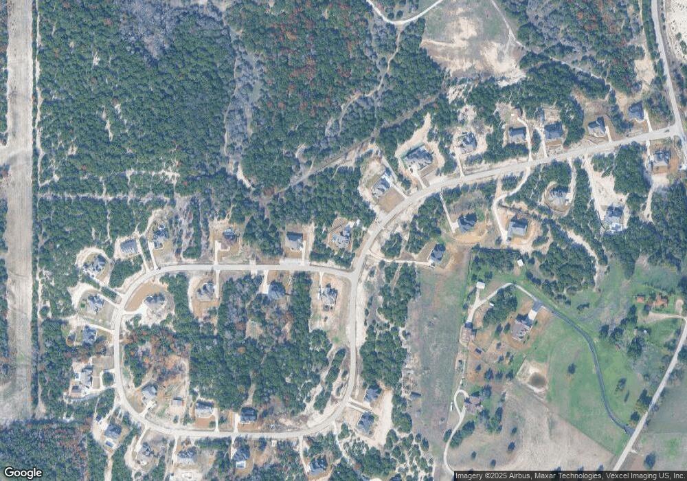
Map
Nearby Homes
- 115 Cedar Mountain Dr
- 194 Cedar Mountain Dr
- 100 Tiffany Ct
- 101 Tiffany Ct
- 116 Scenery Hill Dr
- 225 W Shangri la Dr
- 108 E Shangri la Dr
- 126 Cedar Creek Dr
- 4000 Randolph Ln
- 209 Oak Meadow Ln
- 0 R000118724 Unit 20846338
- 748 Rocky Ridge Ln
- 2065 Preserve Trail
- 4895 Upper Denton Rd
- 412 Skyview Ln
- 1390 Mary Dr
- 405 Red Roan Ridge
- 200 Sorrel Ln
- 7220 Tucker Dr
- 145 Clayton Rd
- TBD Cedar Mountain Dr
- 138 Cedar Mountain Dr
- 126 Cedar Mountain Dr
- 135 Cedar Mountain Dr
- 139 Cedar Mountain Dr
- 122 Cedar Mountain Dr
- 142 Cedar Mountain Dr
- 119 Cedar Mountain Dr
- 118 Cedar Mountain Dr
- TBD Cedar Mountain
- 195 Cedar Mountain Dr
- 198 Cedar Mountain Dr
- 146 Cedar Mountain Dr
- 183 Cedar Mountain Dr
- 114 Cedar Mountain Dr
- 155 Cedar Mountain Dr
- 150 Cedar Mountain Dr
- 5815 Tucker Dr
- 5801 Tucker Dr
- 109 Cedar Mountain Dr