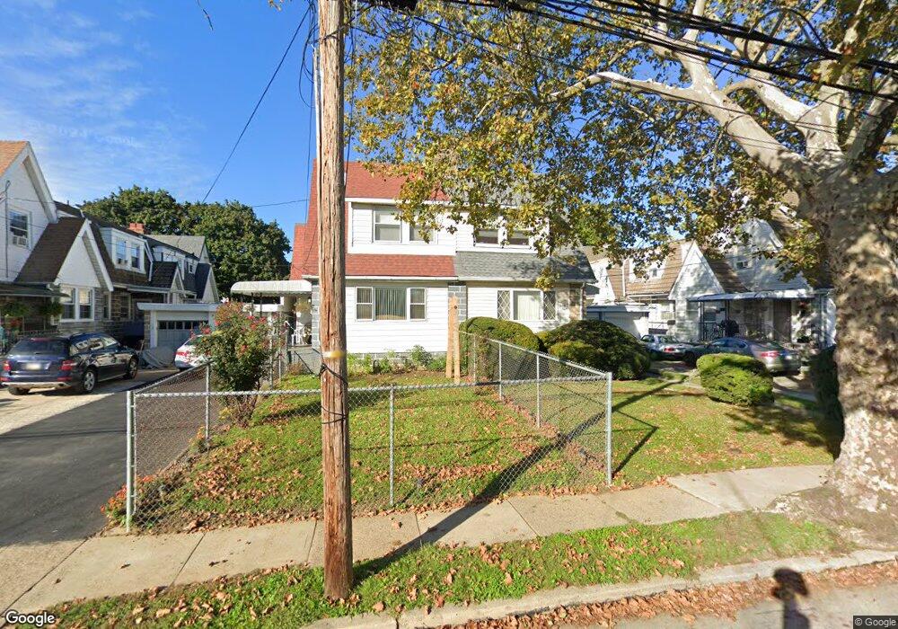
130 Chatham Rd Upper Darby, PA 19082
Estimated Value: $243,004 - $310,000
3
Beds
1
Bath
1,642
Sq Ft
$167/Sq Ft
Est. Value
About This Home
This home is located at 130 Chatham Rd, Upper Darby, PA 19082 and is currently estimated at $274,751, approximately $167 per square foot. 130 Chatham Rd is a home located in Delaware County with nearby schools including Upper Darby Kdg Center, Walter M. Senkow Elementary School, and Upper Darby High School.
Ownership History
Date
Name
Owned For
Owner Type
Purchase Details
Closed on
Feb 2, 2016
Sold by
Kaur Jasvir and Mehat Manjit
Bought by
Mehat Gurjant Singh and Mehat Simranjit Singh
Current Estimated Value
Purchase Details
Closed on
Nov 19, 2004
Sold by
Kaur Jasvir
Bought by
Kaur Jasvir and Mehat Manjit
Home Financials for this Owner
Home Financials are based on the most recent Mortgage that was taken out on this home.
Original Mortgage
$90,000
Outstanding Balance
$44,643
Interest Rate
5.69%
Mortgage Type
Stand Alone Refi Refinance Of Original Loan
Estimated Equity
$230,108
Create a Home Valuation Report for This Property
The Home Valuation Report is an in-depth analysis detailing your home's value as well as a comparison with similar homes in the area
Home Values in the Area
Average Home Value in this Area
Purchase History
| Date | Buyer | Sale Price | Title Company |
|---|---|---|---|
| Mehat Gurjant Singh | -- | Attorney | |
| Kaur Jasvir | -- | First American Title Ins Co |
Source: Public Records
Mortgage History
| Date | Status | Borrower | Loan Amount |
|---|---|---|---|
| Open | Kaur Jasvir | $90,000 |
Source: Public Records
Tax History Compared to Growth
Tax History
| Year | Tax Paid | Tax Assessment Tax Assessment Total Assessment is a certain percentage of the fair market value that is determined by local assessors to be the total taxable value of land and additions on the property. | Land | Improvement |
|---|---|---|---|---|
| 2025 | $4,982 | $117,790 | $29,770 | $88,020 |
| 2024 | $4,982 | $117,790 | $29,770 | $88,020 |
| 2023 | $4,935 | $117,790 | $29,770 | $88,020 |
| 2022 | $4,802 | $117,790 | $29,770 | $88,020 |
| 2021 | $6,475 | $117,790 | $29,770 | $88,020 |
| 2020 | $4,513 | $69,770 | $17,600 | $52,170 |
| 2019 | $4,434 | $69,770 | $17,600 | $52,170 |
| 2018 | $4,383 | $69,770 | $0 | $0 |
| 2017 | $4,269 | $69,770 | $0 | $0 |
| 2016 | $383 | $69,770 | $0 | $0 |
| 2015 | $383 | $69,770 | $0 | $0 |
| 2014 | $383 | $69,770 | $0 | $0 |
Source: Public Records
Map
Nearby Homes
- 119 Overhill Rd
- 147 Wellington Rd
- 134 Heather Rd
- 42 Kent Rd
- 27 Wellington Rd
- 62 Richfield Rd
- 210 Long Ln
- 6858 Marshall Rd
- 27 Glendale Rd
- 6667 Church Ln
- 101 Copley Rd
- 7252 Brent Rd
- 271 Wembly Rd
- 214 Kingston Rd
- 240 Glendale Rd
- 268 Hampden Rd
- 258 S Hirst St
- 273 S Hirst St
- 6235 Addison St
- 6238 Sansom St