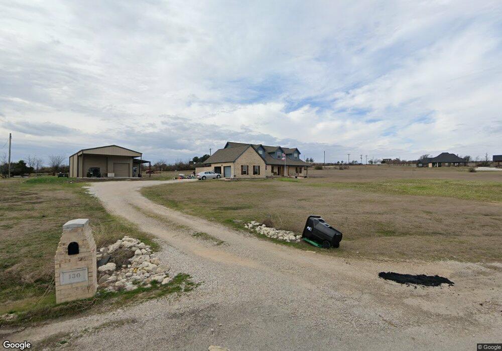
130 Churchill Cir Weatherford, TX 76085
Estimated Value: $644,000 - $737,360
4
Beds
6
Baths
3,482
Sq Ft
$199/Sq Ft
Est. Value
About This Home
This home is located at 130 Churchill Cir, Weatherford, TX 76085 and is currently estimated at $691,590, approximately $198 per square foot. 130 Churchill Cir is a home located in Parker County with nearby schools including Silver Creek Elementary School, Azle Elementary School, and Azle Junior High School.
Ownership History
Date
Name
Owned For
Owner Type
Purchase Details
Closed on
Oct 20, 2017
Sold by
Sommers Robert M and Sommers Caron L
Bought by
Lund Paul and Lund Amy
Current Estimated Value
Home Financials for this Owner
Home Financials are based on the most recent Mortgage that was taken out on this home.
Original Mortgage
$351,500
Outstanding Balance
$292,576
Interest Rate
3.78%
Mortgage Type
New Conventional
Estimated Equity
$399,014
Purchase Details
Closed on
Nov 12, 2009
Sold by
Partagas Properties Ltd
Bought by
Sommers Robert M and Sommers Caron L
Home Financials for this Owner
Home Financials are based on the most recent Mortgage that was taken out on this home.
Original Mortgage
$232,000
Interest Rate
4.83%
Mortgage Type
Construction
Purchase Details
Closed on
Aug 29, 2002
Bought by
Sommers Robert M and Sommers Caron L
Create a Home Valuation Report for This Property
The Home Valuation Report is an in-depth analysis detailing your home's value as well as a comparison with similar homes in the area
Home Values in the Area
Average Home Value in this Area
Purchase History
| Date | Buyer | Sale Price | Title Company |
|---|---|---|---|
| Lund Paul | -- | Alamo Title Company | |
| Sommers Robert M | -- | None Available | |
| Sommers Robert M | -- | -- |
Source: Public Records
Mortgage History
| Date | Status | Borrower | Loan Amount |
|---|---|---|---|
| Open | Lund Paul | $351,500 | |
| Previous Owner | Sommers Robert M | $232,000 |
Source: Public Records
Tax History Compared to Growth
Tax History
| Year | Tax Paid | Tax Assessment Tax Assessment Total Assessment is a certain percentage of the fair market value that is determined by local assessors to be the total taxable value of land and additions on the property. | Land | Improvement |
|---|---|---|---|---|
| 2025 | $3,916 | $724,482 | -- | -- |
| 2024 | $3,916 | $658,620 | $187,220 | $471,400 |
| 2023 | $3,916 | $641,510 | $0 | $0 |
| 2022 | $10,791 | $585,510 | $117,870 | $467,640 |
| 2021 | $10,279 | $585,510 | $117,870 | $467,640 |
| 2020 | $8,983 | $499,610 | $100,920 | $398,690 |
| 2019 | $8,122 | $470,900 | $100,920 | $369,980 |
| 2018 | $7,407 | $361,290 | $45,000 | $316,290 |
| 2017 | $6,765 | $361,290 | $45,000 | $316,290 |
| 2016 | $6,150 | $314,790 | $45,000 | $269,790 |
| 2015 | $2,268 | $314,790 | $45,000 | $269,790 |
| 2014 | $4,760 | $253,760 | $45,000 | $208,760 |
Source: Public Records
Map
Nearby Homes
- 1017 Don Eve Ct
- 1016 Don Eve Ct
- 1032 Don Eve Ct
- 1028 Don Eve Ct
- 1024 Don Eve Ct
- 1025 Don Eve Ct
- 1013 Don Eve Ct
- 1005 Don Eve Ct
- 1020 Boulder Rd
- 1012 Don Eve Ct
- 181 Churchill Cir
- 1004 Don Eve Ct
- 4024 Olivia Lucille St
- 1009 Boulder Rd
- 1008 Don Eve Ct
- 1020 Don Eve Ct
- 209 Churchill Ct
- Lot 143 Blk 4 Veal Station Rd
- 7243 Veal Station Rd
- TBD 2 Flat Rock Rd
- 124 Churchill Cir
- 132 Churchill Cir
- 127 Churchill Cir
- 150 Newsom Mound Rd
- 123 Churchill Cir
- 120 Churchill Cir
- 184 Newsom Mound Rd
- 136 Churchill Cir
- 145 Churchill Cir
- 119 Churchill Cir
- 204 Newsom Mound Rd
- 116 Churchill Cir
- 149 Churchill Cir
- 124 Newsom Mound Rd
- 115 Churchill Cir
- 210 Newsom Mound Rd
- 112 Churchill Cir
- 153 Churchill Cir
- 111 Churchill Cir
- 216 Newsom Mound Rd