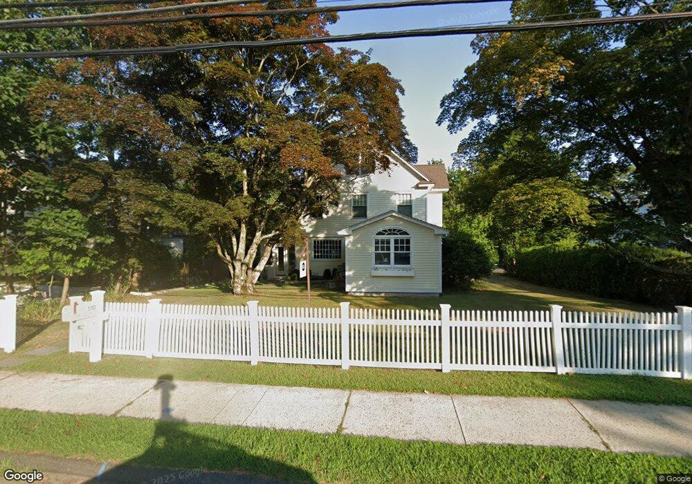
130 Compo Rd S Westport, CT 06880
Westport Village NeighborhoodEstimated Value: $1,581,000 - $2,009,827
4
Beds
3
Baths
3,102
Sq Ft
$595/Sq Ft
Est. Value
About This Home
This home is located at 130 Compo Rd S, Westport, CT 06880 and is currently estimated at $1,846,457, approximately $595 per square foot. 130 Compo Rd S is a home located in Fairfield County with nearby schools including Saugatuck Elementary School, Bedford Middle School, and Staples High School.
Ownership History
Date
Name
Owned For
Owner Type
Purchase Details
Closed on
Aug 23, 1996
Sold by
Gallo Noreen
Bought by
Rountree Cheryl
Current Estimated Value
Create a Home Valuation Report for This Property
The Home Valuation Report is an in-depth analysis detailing your home's value as well as a comparison with similar homes in the area
Home Values in the Area
Average Home Value in this Area
Purchase History
| Date | Buyer | Sale Price | Title Company |
|---|---|---|---|
| Rountree Cheryl | $272,500 | -- | |
| Rountree Cheryl | $272,500 | -- |
Source: Public Records
Mortgage History
| Date | Status | Borrower | Loan Amount |
|---|---|---|---|
| Open | Rountree Cheryl | $420,000 | |
| Closed | Rountree Cheryl | $100,000 | |
| Closed | Rountree Cheryl | $520,000 |
Source: Public Records
Tax History Compared to Growth
Tax History
| Year | Tax Paid | Tax Assessment Tax Assessment Total Assessment is a certain percentage of the fair market value that is determined by local assessors to be the total taxable value of land and additions on the property. | Land | Improvement |
|---|---|---|---|---|
| 2025 | $13,626 | $722,500 | $312,800 | $409,700 |
| 2024 | $13,453 | $722,500 | $312,800 | $409,700 |
| 2023 | $13,258 | $722,500 | $312,800 | $409,700 |
| 2022 | $12,781 | $707,300 | $312,800 | $394,500 |
| 2021 | $12,781 | $707,300 | $312,800 | $394,500 |
| 2020 | $11,889 | $746,200 | $319,700 | $426,500 |
| 2019 | $12,581 | $746,200 | $319,700 | $426,500 |
| 2018 | $12,355 | $746,200 | $319,700 | $426,500 |
| 2017 | $9,416 | $746,200 | $319,700 | $426,500 |
| 2016 | $12,581 | $746,200 | $319,700 | $426,500 |
| 2015 | $10,145 | $560,800 | $231,700 | $329,100 |
| 2014 | $10,061 | $560,800 | $231,700 | $329,100 |
Source: Public Records
Map
Nearby Homes
- 3 Laurel Ln
- 102 Compo Rd S
- 5 Franklin Ave
- 171 & 169 Compo Rd S
- 6 Over Rock Ln
- 23 Bridge St
- 21 Wright St
- 109 Greens Farms Rd
- 24 Edgemarth Hill Rd
- 5A Sunrise Rd
- 9 Crescent Park Rd
- 60 Wilton Rd Unit 2C
- 26 Treadwell Ave
- 202 Bradley Ln Unit 202
- 42 Kings Hwy S
- 61 Edgewater Commons Ln
- 123 Greens Farms Rd
- 33 Burnham Hill
- 26 Crescent Park Rd
- 28 Crescent Park Rd
- 129 Compo Rd S
- 23 Gault Ave
- 132 Compo Rd S
- 21 Gault Ave
- 138 Compo Rd S
- 138 Compo Rd S Unit .
- 125 Compo Rd S
- 3 Tranquility Ln
- 140 Compo Rd S
- 126 Compo Rd S
- 19 Gault Ave
- 4 Tranquility Ln
- 123 Compo Rd S
- 17 Gault Ave
- 1 Mansfield Place
- 142 Compo Rd S
- 3 Sandhopper Trail
- 6 Tranquility Ln
- 4 Green Acre Ln
- 3 Mansfield Place