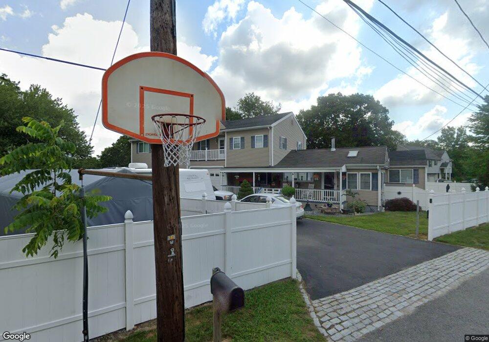
130 Conduit St Acushnet, MA 02743
Coury Heights NeighborhoodEstimated Value: $440,738 - $562,000
3
Beds
3
Baths
2,384
Sq Ft
$206/Sq Ft
Est. Value
About This Home
This home is located at 130 Conduit St, Acushnet, MA 02743 and is currently estimated at $491,685, approximately $206 per square foot. 130 Conduit St is a home located in Bristol County with nearby schools including Acushnet Elementary School, Albert F Ford Middle School, and Alma del Mar Charter School.
Ownership History
Date
Name
Owned For
Owner Type
Purchase Details
Closed on
Mar 6, 2025
Sold by
Menard David R and Menard Karen L
Bought by
Menard David R
Current Estimated Value
Purchase Details
Closed on
Jul 7, 2000
Sold by
Aldrich Beatrice
Bought by
Menard David R and Boutin Kerrin L
Home Financials for this Owner
Home Financials are based on the most recent Mortgage that was taken out on this home.
Original Mortgage
$40,000
Interest Rate
8.55%
Mortgage Type
Purchase Money Mortgage
Create a Home Valuation Report for This Property
The Home Valuation Report is an in-depth analysis detailing your home's value as well as a comparison with similar homes in the area
Home Values in the Area
Average Home Value in this Area
Purchase History
| Date | Buyer | Sale Price | Title Company |
|---|---|---|---|
| Menard David R | -- | None Available | |
| Menard David R | -- | None Available | |
| Menard David R | $50,000 | -- | |
| Menard David R | $50,000 | -- |
Source: Public Records
Mortgage History
| Date | Status | Borrower | Loan Amount |
|---|---|---|---|
| Previous Owner | Menard David R | $191,000 | |
| Previous Owner | Menard David R | $212,000 | |
| Previous Owner | Menard David R | $40,000 |
Source: Public Records
Tax History Compared to Growth
Tax History
| Year | Tax Paid | Tax Assessment Tax Assessment Total Assessment is a certain percentage of the fair market value that is determined by local assessors to be the total taxable value of land and additions on the property. | Land | Improvement |
|---|---|---|---|---|
| 2025 | $42 | $385,500 | $93,500 | $292,000 |
| 2024 | $4,000 | $350,600 | $89,400 | $261,200 |
| 2023 | $3,853 | $321,100 | $81,300 | $239,800 |
| 2022 | $3,899 | $293,800 | $77,200 | $216,600 |
| 2021 | $3,986 | $288,200 | $77,200 | $211,000 |
| 2020 | $4,018 | $288,200 | $77,200 | $211,000 |
| 2019 | $3,829 | $270,000 | $77,200 | $192,800 |
| 2018 | $3,716 | $257,700 | $77,200 | $180,500 |
| 2017 | $3,606 | $249,700 | $77,200 | $172,500 |
| 2016 | $3,555 | $244,700 | $77,200 | $167,500 |
| 2015 | $3,494 | $244,700 | $77,200 | $167,500 |
Source: Public Records
Map
Nearby Homes
- 6 Middlefield Place
- 9 Middlefield Place
- 52 Pershing Ave
- 65 Armsby St
- 957 Glen St
- 868 Phillips Rd
- 25 Pershing Ave
- 0 Church Dutton & Chaffee Unit 73371719
- 1044 Victoria St Unit B-29
- 57 Crompton St
- 26 Rounseville St
- 187 Tarkiln Hill Rd
- 273 Main St
- 1023 Bowles St
- 6 Illinois St
- 2992 Acushnet Ave
- 2981 Acushnet Ave
- 1044 Phillips Rd Unit 20
- 1044 Phillips Rd Unit 24
- ES Acushnet Ave