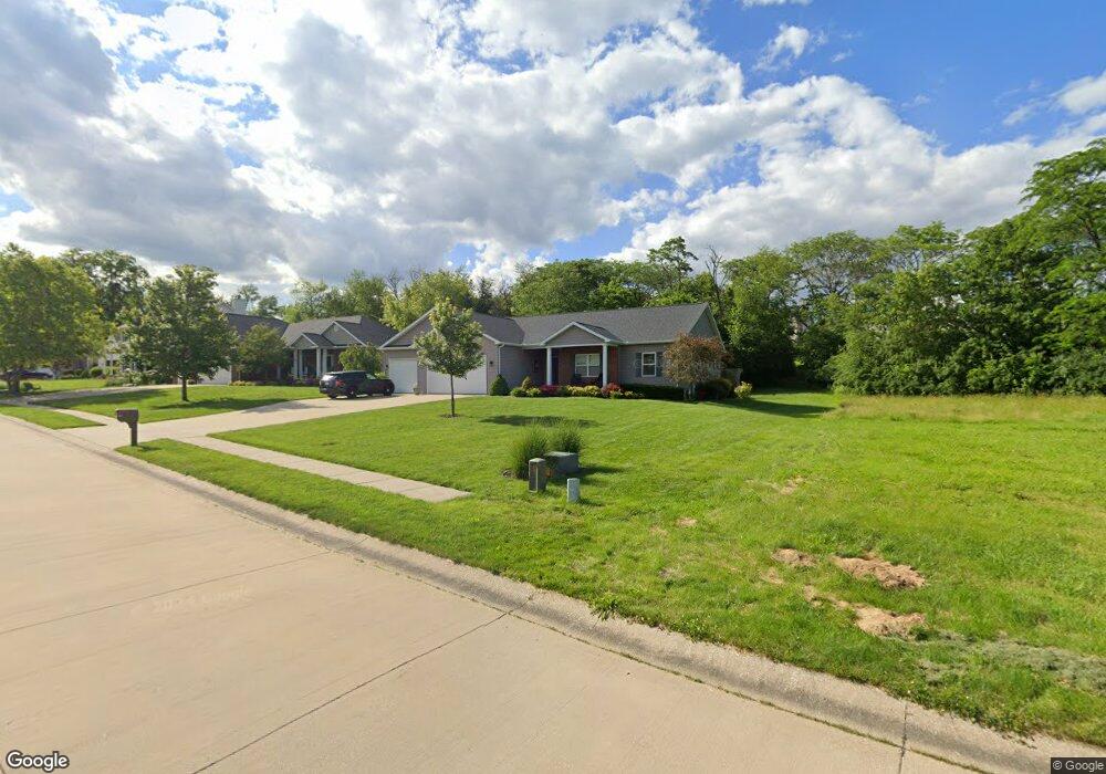
130 Covington Ave Mount Zion, IL 62549
Estimated Value: $375,000 - $455,000
4
Beds
2
Baths
3,960
Sq Ft
$106/Sq Ft
Est. Value
About This Home
This home is located at 130 Covington Ave, Mount Zion, IL 62549 and is currently estimated at $419,452, approximately $105 per square foot. 130 Covington Ave is a home located in Macon County with nearby schools including McGaughey Elementary School, Mt. Zion Elementary School, and Mt. Zion Intermediate School.
Ownership History
Date
Name
Owned For
Owner Type
Purchase Details
Closed on
Apr 25, 2014
Sold by
Lewis Steven A
Bought by
Ethell Erik E and Ethell Heather K
Current Estimated Value
Home Financials for this Owner
Home Financials are based on the most recent Mortgage that was taken out on this home.
Original Mortgage
$250,000
Outstanding Balance
$189,975
Interest Rate
4.33%
Mortgage Type
New Conventional
Estimated Equity
$229,477
Create a Home Valuation Report for This Property
The Home Valuation Report is an in-depth analysis detailing your home's value as well as a comparison with similar homes in the area
Home Values in the Area
Average Home Value in this Area
Purchase History
| Date | Buyer | Sale Price | Title Company |
|---|---|---|---|
| Ethell Erik E | $265,000 | Decatur Title Co Llc |
Source: Public Records
Mortgage History
| Date | Status | Borrower | Loan Amount |
|---|---|---|---|
| Open | Ethell Erik E | $250,000 |
Source: Public Records
Tax History
| Year | Tax Paid | Tax Assessment Tax Assessment Total Assessment is a certain percentage of the fair market value that is determined by local assessors to be the total taxable value of land and additions on the property. | Land | Improvement |
|---|---|---|---|---|
| 2024 | $7,677 | $104,348 | $18,150 | $86,198 |
| 2023 | $7,435 | $97,050 | $16,881 | $80,169 |
| 2022 | $7,121 | $92,051 | $16,012 | $76,039 |
| 2021 | $6,922 | $86,236 | $15,000 | $71,236 |
| 2020 | $7,173 | $90,125 | $18,189 | $71,936 |
| 2019 | $7,173 | $90,125 | $18,189 | $71,936 |
| 2018 | $6,960 | $87,824 | $17,725 | $70,099 |
| 2017 | $6,870 | $86,135 | $17,384 | $68,751 |
| 2016 | $6,805 | $84,637 | $17,082 | $67,555 |
| 2015 | $6,583 | $83,799 | $16,913 | $66,886 |
| 2014 | $6,346 | $83,799 | $16,913 | $66,886 |
| 2013 | $124 | $1,504 | $1,504 | $0 |
Source: Public Records
Map
Nearby Homes
- 635 Mill St
- 524 Elm St
- 512 Woodland Ct
- 1065 Country Manor
- 210 Bell Ct
- 355 S Henderson St
- 330 Secretariat Place
- 415 Mintler Dr
- 860 W Wildwood Dr
- 9 Blakeridge Place
- 1820 Buckhead Ln
- Lot 20 Jeffrey Ln
- 645 Pearl Ct
- 1935 Buckhead Ct
- 2110 Buckhead Ln
- 2130 Buckhead Ave
- 2035 Buckhead Blvd
- 2020 Buckhead Ln
- 3930 S Mount Zion Rd
- 2030 Buckhead Ln
- 140 Covington Ave
- 150 Covington Ave
- 135 Lexington Cir
- 145 Covington Ave
- 125 Covington Ave
- 115 Lexington Cir
- 180 Carrington Ave
- 115 Covington Ave
- 170 Carrington Ave
- 145 Lexington Cir
- 155 Covington Ave
- 190 Carrington Ave
- 160 Carrington Ave
- 130 Parkington Ct
- 120 Parkington Ct
- 170 Covington Ave
- 210 Carrington Ave
- 120 Lexington Cir
- 130 Lexington Cir
- 145 Carrington Ave
Your Personal Tour Guide
Ask me questions while you tour the home.