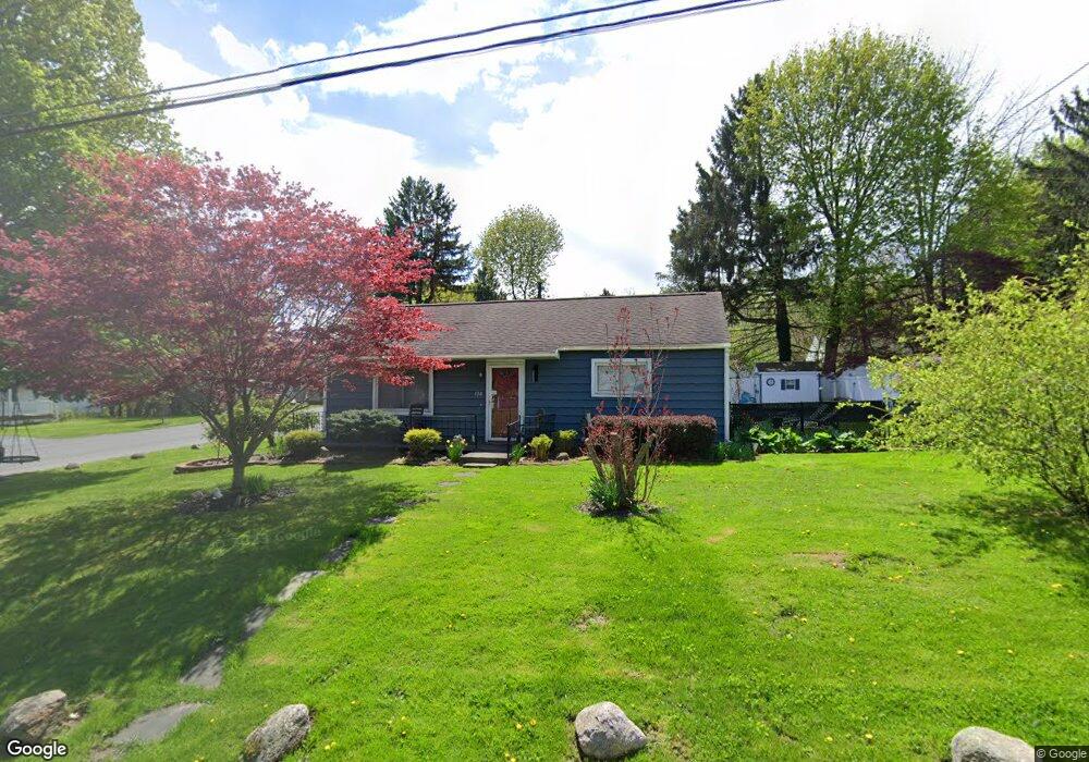
130 Dawson Ave Auburn, NY 13021
Estimated Value: $146,000 - $236,000
2
Beds
1
Bath
792
Sq Ft
$219/Sq Ft
Est. Value
About This Home
This home is located at 130 Dawson Ave, Auburn, NY 13021 and is currently estimated at $173,258, approximately $218 per square foot. 130 Dawson Ave is a home located in Cayuga County with nearby schools including Auburn Junior High School, Auburn High School, and St. Joseph School.
Ownership History
Date
Name
Owned For
Owner Type
Purchase Details
Closed on
Oct 27, 2008
Sold by
Crowley Elizabeth
Bought by
Brill Douglas
Current Estimated Value
Home Financials for this Owner
Home Financials are based on the most recent Mortgage that was taken out on this home.
Original Mortgage
$63,665
Outstanding Balance
$39,761
Interest Rate
5.12%
Mortgage Type
Adjustable Rate Mortgage/ARM
Estimated Equity
$133,497
Purchase Details
Closed on
Jul 19, 2006
Sold by
Adams Lori
Bought by
Crowley Elizabeth
Purchase Details
Closed on
Jul 18, 2000
Sold by
Houghtaling Mabelle K
Bought by
Adams Lori
Create a Home Valuation Report for This Property
The Home Valuation Report is an in-depth analysis detailing your home's value as well as a comparison with similar homes in the area
Home Values in the Area
Average Home Value in this Area
Purchase History
| Date | Buyer | Sale Price | Title Company |
|---|---|---|---|
| Brill Douglas | $74,900 | Richard Gunger | |
| Crowley Elizabeth | $63,000 | George Iocolano | |
| Adams Lori | $34,000 | Howard Clark Jr |
Source: Public Records
Mortgage History
| Date | Status | Borrower | Loan Amount |
|---|---|---|---|
| Open | Brill Douglas | $63,665 |
Source: Public Records
Tax History Compared to Growth
Tax History
| Year | Tax Paid | Tax Assessment Tax Assessment Total Assessment is a certain percentage of the fair market value that is determined by local assessors to be the total taxable value of land and additions on the property. | Land | Improvement |
|---|---|---|---|---|
| 2024 | $2,338 | $100,300 | $21,200 | $79,100 |
| 2023 | $2,198 | $95,100 | $21,200 | $73,900 |
| 2022 | $1,562 | $95,100 | $21,200 | $73,900 |
| 2021 | $1,288 | $72,000 | $16,000 | $56,000 |
| 2020 | $1,223 | $72,000 | $16,000 | $56,000 |
| 2019 | $541 | $72,000 | $16,000 | $56,000 |
| 2018 | $1,168 | $72,000 | $16,000 | $56,000 |
| 2017 | $1,292 | $77,000 | $17,400 | $59,600 |
| 2016 | $1,643 | $67,500 | $17,400 | $50,100 |
| 2015 | $758 | $62,650 | $17,400 | $45,250 |
| 2014 | $758 | $62,650 | $17,400 | $45,250 |
Source: Public Records
Map
Nearby Homes
- 131 Standart Ave
- 111 Palmer St
- 196 N Fulton St
- 126 N Fulton St
- 69 Lansing St
- 39 Standart Ave
- 58-60 Lansing St
- 76 Grant Ave
- 96 N Fulton St
- 11 Adams St
- 18 Paul St
- 98 Franklin St
- 29 Liberty St
- 445 N Seward Ave
- 439 N Seward Ave Unit 441
- 15 Liberty St
- 44 Capitol St
- 5 Liberty St
- 19 Foote St
- 124 Curtis Place
- 124 Dawson Ave
- 104 Murray St
- 145 Dawson Ave
- 102 Murray St
- 121 Standart Ave
- 120 Dawson Ave
- 141 Dawson Ave
- 108 Murray St
- 137 Dawson Ave
- 112 Murray St
- 117 Standart Ave
- 117 Murray St
- 137 Standart Ave
- 116 Dawson Ave
- 133 Dawson Ave
- 116 Murray St
- 116 Standart Ave
- 142 Norris Ave
- 112 Standart Ave
- 115 Standart Ave