130 Dirt Rd Hayfork, CA 96041
Estimated Value: $205,968 - $213,000
About This Home
This home is located at 130 Dirt Rd, Hayfork, CA 96041 and is currently estimated at $208,989, approximately $362 per square foot. 130 Dirt Rd is a home with nearby schools including Hayfork High School.
Ownership History
We collect this data history from publicly available records. To have your information removed, we recommend requesting removal directly through your county’s website.
Purchase Details
Home Financials for this Owner
Home Financials are based on the most recent Mortgage that was taken out on this home.Purchase Details
Home Values in the Area
Average Home Value in this Area
Purchase History
We collect this data history from publicly available records. To have your information removed, we recommend requesting removal directly through your county’s website.
| Date | Buyer | Sale Price | Title Company |
|---|---|---|---|
| $98,000 | Placer Title Company | ||
| $40,000 | First American Title Co |
Mortgage History
We collect this data history from publicly available records. To have your information removed, we recommend requesting removal directly through your county’s website.
| Date | Status | Borrower | Loan Amount |
|---|---|---|---|
| Open | $75,500 |
Tax History
We collect this data history from publicly available records. To have your information removed, we recommend requesting removal directly through your county’s website.
| Year | Tax Paid | Tax Assessment Tax Assessment Total Assessment is a certain percentage of the fair market value that is determined by local assessors to be the total taxable value of land and additions on the property. | Land | Improvement |
|---|---|---|---|---|
| 2025 | $1,224 | $86,902 | $19,163 | $67,739 |
| 2024 | $1,200 | $85,199 | $18,788 | $66,411 |
| 2023 | $1,200 | $83,529 | $18,420 | $65,109 |
| 2022 | $1,183 | $81,892 | $18,059 | $63,833 |
| 2021 | $1,111 | $80,287 | $17,705 | $62,582 |
| 2020 | $1,065 | $79,465 | $17,524 | $61,941 |
| 2019 | $914 | $77,908 | $17,181 | $60,727 |
| 2018 | $891 | $76,382 | $16,845 | $59,537 |
| 2017 | $888 | $74,885 | $16,515 | $58,370 |
| 2016 | $824 | $70,003 | $16,515 | $53,488 |
| 2015 | $814 | $68,952 | $16,267 | $52,685 |
| 2014 | $805 | $67,602 | $15,949 | $51,653 |
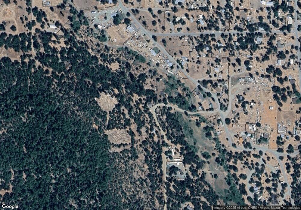
Map
- 210 Pine Ave
- 305 Pine Ave
- 241 Madrone Ave
- 131 Locust St
- 180 Ryan Ln
- 1461 Morgan Hill Rd
- 155 W Humboldt St
- 120 Humboldt St
- 134 W Humboldt St
- 134 Humboldt St
- 90 Talco Way
- 60 Sebring Rd
- 71 Tule Creek Rd
- 70 Oak Ave
- 2016 Morgan Hill Rd
- 133 Highland Dr
- 67 Highland Dr
- 675 Hyampom
- 510 Oliva Dr
- 925 Kingsbury Rd
- 190 Dirt Rd
- 280 Kingsbury Rd
- 348 Kingsbury Rd
- 273 Kingsbury Rd
- 348`` Kingsbury Rd
- 221 Dirt Rd
- 204 Kingsbury Rd
- 418 Kingsbury Rd
- 337 Kingsbury Rd
- 297 Kingsbury Rd
- 170 Kingsbury Rd
- 45 Center St
- 136 Center St
- 270 Kingsbury Gulch Rd
- 142 Kingsbury Rd
- 439 Kingsbury Rd
- 50 Queens Ct
- 513 Kingsbury Rd
- 121 Center St
- 121 Center St Unit A
Ask me questions while you tour the home.