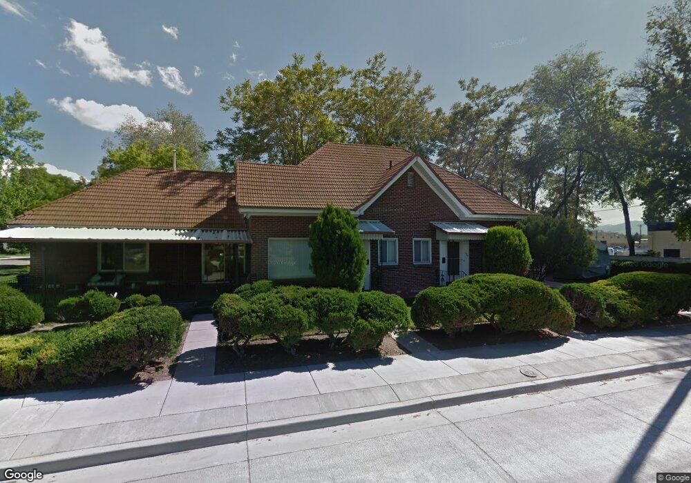
130 E 1700 S Unit 132 Salt Lake City, UT 84115
Liberty Wells NeighborhoodEstimated Value: $555,000 - $769,000
3
Beds
2
Baths
2,183
Sq Ft
$297/Sq Ft
Est. Value
About This Home
This home is located at 130 E 1700 S Unit 132, Salt Lake City, UT 84115 and is currently estimated at $649,412, approximately $297 per square foot. 130 E 1700 S Unit 132 is a home located in Salt Lake County with nearby schools including Whittier Elementary School, Hillside Middle School, and Highland High School.
Ownership History
Date
Name
Owned For
Owner Type
Purchase Details
Closed on
Feb 22, 2022
Sold by
Scott And Debra Manning Living Trust
Bought by
Vigil Monica
Current Estimated Value
Home Financials for this Owner
Home Financials are based on the most recent Mortgage that was taken out on this home.
Original Mortgage
$392,755
Outstanding Balance
$364,703
Interest Rate
3.55%
Mortgage Type
FHA
Estimated Equity
$284,709
Purchase Details
Closed on
May 13, 2019
Sold by
Manning Scott G
Bought by
Scott And Debra Manning Living Trust
Purchase Details
Closed on
Apr 17, 1996
Sold by
Sleater Joseph K
Bought by
Manning Scott Glenn
Home Financials for this Owner
Home Financials are based on the most recent Mortgage that was taken out on this home.
Original Mortgage
$89,586
Interest Rate
7.41%
Mortgage Type
FHA
Create a Home Valuation Report for This Property
The Home Valuation Report is an in-depth analysis detailing your home's value as well as a comparison with similar homes in the area
Home Values in the Area
Average Home Value in this Area
Purchase History
| Date | Buyer | Sale Price | Title Company |
|---|---|---|---|
| Vigil Monica | -- | Integrated Title Services | |
| Vigil Monica | -- | Integrated Title Services | |
| Scott And Debra Manning Living Trust | -- | None Available | |
| Manning Scott Glenn | -- | -- |
Source: Public Records
Mortgage History
| Date | Status | Borrower | Loan Amount |
|---|---|---|---|
| Open | Vigil Monica | $392,755 | |
| Previous Owner | Manning Scott Glenn | $89,586 | |
| Closed | Vigil Monica | $23,565 |
Source: Public Records
Tax History Compared to Growth
Tax History
| Year | Tax Paid | Tax Assessment Tax Assessment Total Assessment is a certain percentage of the fair market value that is determined by local assessors to be the total taxable value of land and additions on the property. | Land | Improvement |
|---|---|---|---|---|
| 2025 | $2,802 | $574,700 | $170,200 | $404,500 |
| 2024 | $2,802 | $534,700 | $161,100 | $373,600 |
| 2023 | $2,534 | $466,000 | $154,900 | $311,100 |
| 2022 | $2,744 | $473,400 | $151,800 | $321,600 |
| 2021 | $2,532 | $395,600 | $83,400 | $312,200 |
| 2020 | $2,459 | $365,600 | $74,400 | $291,200 |
| 2019 | $2,475 | $346,200 | $69,500 | $276,700 |
| 2018 | $2,245 | $305,800 | $69,500 | $236,300 |
| 2017 | $2,309 | $294,700 | $69,500 | $225,200 |
| 2016 | $2,142 | $259,600 | $58,500 | $201,100 |
| 2015 | $1,880 | $216,000 | $51,400 | $164,600 |
| 2014 | $1,880 | $214,300 | $53,200 | $161,100 |
Source: Public Records
Map
Nearby Homes
- 1729 S Roberta St
- 1660 S Major St Unit 8
- 1534 S 200 E
- 1895 S 200 E
- 1797 S 300 E
- 1618 S Main St Unit 2
- 1633 S 300 E
- 32 W 1700 S Unit A-1
- 24 W 1700 S Unit C-7
- 24 W 1700 S Unit C4
- 1629 S Richards St
- 327 E Coatsville Ave
- 1570 S Main St Unit 102
- 349 E Coatsville Ave
- 1902 S Main St
- 1470 S Edison St
- 240 E Ramona Ave
- 363 E Downington Ave
- 15 E Kensington Ave Unit T
- 49 Layton Ave
- 1710 Edison St
- 1720 Edison St
- 1720 S Edison St
- 1726 Edison St
- 1726 S Edison St
- 1705 S Edison St
- 1705 Edison St
- 1717 Edison St
- 1734 Edison St
- 147 E 1700 S
- 156 E 1700 S
- 153 E 1700 S
- 151 E 1700 S Unit 153
- 1723 Edison St
- 155 E 1700 S Unit 157
- 158 E 1700 S
- 1740 Edison St
- 1731 Edison St
- 1731 S Edison St
- 1639 Edison St