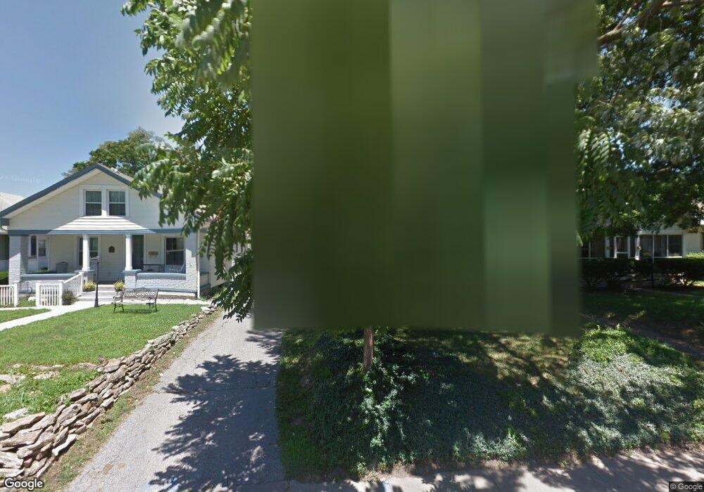
130 E Ruby Ave Independence, MO 64050
Heart of Independence NeighborhoodEstimated Value: $156,000 - $198,000
2
Beds
1
Bath
1,625
Sq Ft
$106/Sq Ft
Est. Value
About This Home
This home is located at 130 E Ruby Ave, Independence, MO 64050 and is currently estimated at $172,156, approximately $105 per square foot. 130 E Ruby Ave is a home located in Jackson County with nearby schools including Santa Fe Trail Elementary School, Bridger Middle School, and Bingham Middle School.
Ownership History
Date
Name
Owned For
Owner Type
Purchase Details
Closed on
Sep 25, 2002
Sold by
Young Pamela S and Nading Pamela S
Bought by
Young Pamela S
Current Estimated Value
Home Financials for this Owner
Home Financials are based on the most recent Mortgage that was taken out on this home.
Original Mortgage
$65,460
Interest Rate
6.21%
Mortgage Type
FHA
Create a Home Valuation Report for This Property
The Home Valuation Report is an in-depth analysis detailing your home's value as well as a comparison with similar homes in the area
Home Values in the Area
Average Home Value in this Area
Purchase History
| Date | Buyer | Sale Price | Title Company |
|---|---|---|---|
| Young Pamela S | -- | Security Land Title Company |
Source: Public Records
Mortgage History
| Date | Status | Borrower | Loan Amount |
|---|---|---|---|
| Closed | Young Pamela S | $65,460 |
Source: Public Records
Tax History
| Year | Tax Paid | Tax Assessment Tax Assessment Total Assessment is a certain percentage of the fair market value that is determined by local assessors to be the total taxable value of land and additions on the property. | Land | Improvement |
|---|---|---|---|---|
| 2025 | $1,587 | $16,583 | $3,279 | $13,304 |
| 2024 | $1,551 | $22,912 | $2,713 | $20,199 |
| 2023 | $1,551 | $22,912 | $2,542 | $20,370 |
| 2022 | $926 | $12,540 | $2,708 | $9,832 |
| 2021 | $926 | $12,540 | $2,708 | $9,832 |
| 2020 | $908 | $11,948 | $2,708 | $9,240 |
| 2019 | $893 | $11,948 | $2,708 | $9,240 |
| 2018 | $788 | $10,065 | $1,570 | $8,495 |
| 2017 | $788 | $10,065 | $1,570 | $8,495 |
| 2016 | $776 | $9,814 | $1,566 | $8,248 |
Source: Public Records
Map
Nearby Homes
- 722 S Main St
- 921 S Noland Rd
- 904 S Pearl St
- 1100 S Noland Rd
- 426 E Short Ave
- 211 S Pearl St
- 913 S Hocker Ave
- 925 S Emery St
- 524 E Walnut St
- 930 S Leslie St
- 1211 S Osage St
- 903 S Pope Ave
- 1209 S Spring St
- 1120 S Leslie St
- 801 S Crane St
- 614 E Lexington Ave
- 324 W Southside Blvd
- 1312 S Pearl St
- 914 E South Ave
- 145 E Farmer St
- 128 E Ruby Ave
- 132 E Ruby Ave
- 126 E Ruby Ave
- 134 E Ruby Ave
- 124 E Ruby Ave
- 129 E Ruby Ave
- 610 S Noland Rd
- 131 E Ruby Ave
- 133 E Ruby Ave
- 127 E Ruby Ave
- 125 E Ruby Ave
- 608 S Noland Rd
- 120 E Ruby Ave
- 606 S Noland Rd
- 123 E Ruby Ave
- 116 E Ruby Ave
- 115 E Ruby Ave
- 113 E Ruby Ave
- 124 E Linden Ave
- 120 E Linden Ave
Your Personal Tour Guide
Ask me questions while you tour the home.