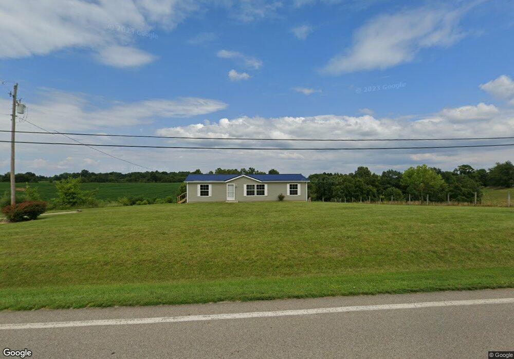
130 E State Route 266 Stockport, OH 43787
Estimated Value: $107,000 - $185,000
3
Beds
1
Bath
1,176
Sq Ft
$137/Sq Ft
Est. Value
About This Home
This home is located at 130 E State Route 266, Stockport, OH 43787 and is currently estimated at $161,436, approximately $137 per square foot. 130 E State Route 266 is a home located in Morgan County with nearby schools including Morgan High School.
Ownership History
Date
Name
Owned For
Owner Type
Purchase Details
Closed on
Sep 23, 2013
Sold by
Ceejay Investors Llc
Bought by
Duvall Lora and Duvall Don
Current Estimated Value
Home Financials for this Owner
Home Financials are based on the most recent Mortgage that was taken out on this home.
Original Mortgage
$40,598
Interest Rate
3.05%
Mortgage Type
FHA
Purchase Details
Closed on
Oct 19, 2012
Sold by
Smith Steven M and Smith Ellen
Bought by
Ceejay Investors Llc
Purchase Details
Closed on
Nov 1, 1989
Create a Home Valuation Report for This Property
The Home Valuation Report is an in-depth analysis detailing your home's value as well as a comparison with similar homes in the area
Home Values in the Area
Average Home Value in this Area
Purchase History
| Date | Buyer | Sale Price | Title Company |
|---|---|---|---|
| Duvall Lora | -- | Landcastle Title | |
| Ceejay Investors Llc | -- | None Available | |
| -- | $12,000 | -- |
Source: Public Records
Mortgage History
| Date | Status | Borrower | Loan Amount |
|---|---|---|---|
| Previous Owner | Duvall Lora | $40,598 |
Source: Public Records
Tax History Compared to Growth
Tax History
| Year | Tax Paid | Tax Assessment Tax Assessment Total Assessment is a certain percentage of the fair market value that is determined by local assessors to be the total taxable value of land and additions on the property. | Land | Improvement |
|---|---|---|---|---|
| 2024 | $1,346 | $41,520 | $8,000 | $33,520 |
| 2023 | $1,346 | $29,070 | $6,520 | $22,550 |
| 2022 | $964 | $29,070 | $6,520 | $22,550 |
| 2021 | $973 | $29,070 | $6,520 | $22,550 |
| 2019 | $925 | $26,440 | $5,930 | $20,510 |
| 2018 | $892 | $26,440 | $5,930 | $20,510 |
| 2017 | $886 | $25,641 | $5,117 | $20,524 |
| 2016 | $890 | $25,641 | $5,117 | $20,524 |
| 2015 | $889 | $25,641 | $5,117 | $20,524 |
| 2014 | $918 | $25,641 | $5,117 | $20,524 |
| 2013 | $909 | $25,641 | $5,117 | $20,524 |
Source: Public Records
Map
Nearby Homes
- 0 Downing Rd
- 781 Downing Rd
- 681 Downing Rd
- 3265 Tieber Rd
- 1715 South St
- 1770 Broadway St
- 0 Meadow St Unit Lot 9 5158299
- 0 Meadow St Unit Lot 9 225008020
- 75 S River Rd SE
- 1920 North St
- 1960 Broadway St
- 1673 S State Route 377
- 5174 Lightner Ridge Rd
- 3020 State Route 376
- 2444 Ervin Ln
- 2712 Sycamore Ln
- 0 Benjamin Rd
- 160 N Riverview Rd
- 3111 Big Bottom Ln
- 0 Kosky Dr
- 294 E State Route 266
- 3040 Coulson Rd
- 0 State Route 266 Unit 8906189
- 57 E State Route 266
- 338 E State Route 266
- 265 E State Route 266
- 00 Rt 266
- 3085 Coulson Rd
- 15 W State Route 266
- 3230 Coulson Rd
- 3270 Coulson Rd
- 730 W State Route 266
- 3360 Coulson Rd
- 3450 State Route 792
- 75 W State Route 266
- 620 E State Route 266
- 620 E State Route 266
- 3525 State Route 792
- 3530 State Route 792
- 3571 Lightner Ridge Rd