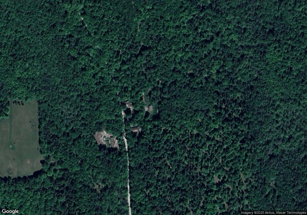
130 Fisher Ln Greentown, PA 18426
Estimated Value: $186,000
2
Beds
1
Bath
1,024
Sq Ft
$182/Sq Ft
Est. Value
About This Home
This home is located at 130 Fisher Ln, Greentown, PA 18426 and is currently estimated at $186,000, approximately $181 per square foot. 130 Fisher Ln is a home with nearby schools including Delaware Valley High School.
Ownership History
Date
Name
Owned For
Owner Type
Purchase Details
Closed on
Sep 16, 2022
Sold by
Bradatsch Michael
Bought by
Clarke Matthew John
Current Estimated Value
Purchase Details
Closed on
Aug 16, 2019
Sold by
Bradatsch Michale
Bought by
Bradatsch Michael
Purchase Details
Closed on
Apr 1, 2019
Sold by
Bradatsch Michael and Bradatsch Jennifer
Bought by
Bradatsch Michael
Purchase Details
Closed on
Dec 19, 2016
Sold by
Wayne Bank
Bought by
Bradatsch Michael and Bradatsch Jennifer
Purchase Details
Closed on
Jun 2, 2016
Sold by
Mazzucco Richard and Mazzucco Linda
Bought by
Wayne Bank
Purchase Details
Closed on
Mar 20, 2009
Sold by
Miller Melissa A
Bought by
Mazzucco Richard and Mazzucco Linda
Create a Home Valuation Report for This Property
The Home Valuation Report is an in-depth analysis detailing your home's value as well as a comparison with similar homes in the area
Home Values in the Area
Average Home Value in this Area
Purchase History
| Date | Buyer | Sale Price | Title Company |
|---|---|---|---|
| Clarke Matthew John | $52,000 | -- | |
| Bradatsch Michael | -- | None Available | |
| Bradatsch Michael | -- | None Available | |
| Bradatsch Michael | $26,500 | None Available | |
| Wayne Bank | -- | None Available | |
| Mazzucco Richard | $55,000 | None Available |
Source: Public Records
Tax History Compared to Growth
Tax History
| Year | Tax Paid | Tax Assessment Tax Assessment Total Assessment is a certain percentage of the fair market value that is determined by local assessors to be the total taxable value of land and additions on the property. | Land | Improvement |
|---|---|---|---|---|
| 2025 | $311 | $2,060 | $2,060 | -- |
| 2024 | $311 | $2,060 | $2,060 | -- |
| 2023 | $307 | $2,060 | $2,060 | $0 |
| 2022 | $298 | $2,060 | $2,060 | $0 |
| 2021 | $295 | $2,060 | $2,060 | $0 |
| 2020 | $294 | $2,060 | $2,060 | $0 |
| 2019 | $923 | $6,700 | $2,580 | $4,120 |
| 2018 | $923 | $6,700 | $2,580 | $4,120 |
| 2017 | $898 | $6,700 | $2,580 | $4,120 |
| 2016 | -- | $6,700 | $2,580 | $4,120 |
| 2014 | -- | $16,660 | $2,580 | $14,080 |
Source: Public Records
Map
Nearby Homes
- 110 Stone Hill Dr
- 207 High Ct
- 117 Stonehedge Ln
- 0 Raymondskill Rd Unit PWBPW253271
- 0 Skyview & Ridgecrest Ln Unit PWBPW253272
- 105 Ridgecrest Ln
- 148 Cornelia Ln
- LOT 1167 Crocus Ln
- 123 Milford Estates Dr
- 120 Milford Estates Dr
- 133 Palmetto Dr
- 180 Chokeberry Dr
- 142 Route 2001
- 104 Meadow Ct
- 201 Choke Berry Dr
- 106 Yellow Wood Dr
- Lot 14 Sawkill Dr
- 0 Hawthorne Dr
- Lot 23 White Pine Ct
- 106 Orben Ln
- 130 Fisher Ln
- 104 Fisher Terrace
- 101 Neumann Dr
- 121 Fisher Ln
- 130 Foxcroft Dr
- 107 Fisher Terrace
- 102 Quinn Terrace
- 138 Fisher Ln
- 110 Fisher Terrace
- 104 Neumann Dr
- 117 Fisher Ln
- 144 Fisher Ln
- 0 Quinn Terrace
- 100-198, 101-199 Neumann Dr
- 104 Quinn Terrace
- 113 Fisher Terrace
- 105 Quinn Terrace
- 114 Fisher Terrace
- 113 Fisher Ln
- 109 Quinn Terrace
